23 Shake Down Ln Windsor, ME 04363
Estimated Value: $442,849 - $547,000
Studio
--
Bath
--
Sq Ft
322,344
Sq Ft Lot
About This Home
This home is located at 23 Shake Down Ln, Windsor, ME 04363 and is currently estimated at $489,212. 23 Shake Down Ln is a home located in Kennebec County with nearby schools including Windsor Elementary School.
Ownership History
Date
Name
Owned For
Owner Type
Purchase Details
Closed on
Dec 5, 2006
Sold by
Stonge Jeremy P and Stonge Kimberly
Bought by
Hamner Nicole E and Stonge Adam R
Current Estimated Value
Home Financials for this Owner
Home Financials are based on the most recent Mortgage that was taken out on this home.
Original Mortgage
$117,000
Interest Rate
6.36%
Mortgage Type
Purchase Money Mortgage
Purchase Details
Closed on
Feb 7, 2005
Sold by
Stonge Robert J
Bought by
Stonge Jeremy and Stowers Kimberly
Create a Home Valuation Report for This Property
The Home Valuation Report is an in-depth analysis detailing your home's value as well as a comparison with similar homes in the area
Home Values in the Area
Average Home Value in this Area
Purchase History
| Date | Buyer | Sale Price | Title Company |
|---|---|---|---|
| Hamner Nicole E | -- | -- | |
| Hamner Nicole E | -- | -- | |
| Stonge Jeremy | -- | -- | |
| Stonge Jeremy | -- | -- | |
| Hamner Nicole E | -- | -- | |
| Stonge Jeremy | -- | -- |
Source: Public Records
Mortgage History
| Date | Status | Borrower | Loan Amount |
|---|---|---|---|
| Closed | Hamner Nicole E | $117,000 |
Source: Public Records
Tax History
| Year | Tax Paid | Tax Assessment Tax Assessment Total Assessment is a certain percentage of the fair market value that is determined by local assessors to be the total taxable value of land and additions on the property. | Land | Improvement |
|---|---|---|---|---|
| 2024 | $3,909 | $424,900 | $48,000 | $376,900 |
| 2023 | $2,859 | $197,200 | $28,800 | $168,400 |
| 2022 | $2,702 | $197,200 | $28,800 | $168,400 |
| 2021 | $2,564 | $197,200 | $28,800 | $168,400 |
| 2020 | $2,220 | $173,400 | $28,800 | $144,600 |
| 2019 | $2,202 | $173,400 | $28,800 | $144,600 |
| 2018 | $2,237 | $173,400 | $28,800 | $144,600 |
| 2017 | $2,220 | $173,400 | $28,800 | $144,600 |
| 2016 | $2,202 | $173,400 | $28,800 | $144,600 |
| 2015 | $2,063 | $173,400 | $28,800 | $144,600 |
| 2014 | $2,254 | $173,400 | $28,800 | $144,600 |
| 2013 | $2,289 | $173,400 | $28,800 | $144,600 |
Source: Public Records
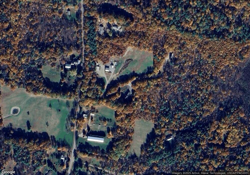
Map
Nearby Homes
- M14 L39 Sandy Point Rd
- 14 King Rd
- 29 Mudget Hill Rd
- 37 Williams Rd
- 175 Buck N Doe Trail
- 8 Williams Rd
- 1650 N Belfast Ave
- 89 Lone Indian Trail Lot 4-A111 Trail
- Lot 4-A-11 Lone Indian Trail
- Lot 73A Lone Indian Trail
- M4A L71 Lone Indian Trail
- 89 Lone Indian Trail
- 11 Northeast Way
- 57 Elm Ln
- 199 Stone Rd
- 188 Stone Rd
- 100 Albee Rd
- 0 Route 3 Unit 1634131
- 140 Ingraham Rd
- 121 Young Rd
- 30 Shake Down Ln
- Lot # 30 Shake Down Ln
- 37 Shake Down Ln
- 263 Legion Park Rd
- 288 Legion Park Rd
- 317 Legion Park Rd
- 48 Cunningham Rd
- 128 Cunningham Rd
- 29 Rowe Rd
- 311 Legion Park Rd
- 244 Legion Park Rd
- 237 Legion Park Rd
- 309 Legion Park Rd
- 0 Legion Park Rd Unit 378547
- 0 Legion Park Rd Unit 273740
- 0 Legion Park Rd Unit 270981
- 0 Legion Park Rd Unit 253421
- 0 Legion Park Rd Unit 1430881
- 236 Legion Park Rd
- 310 Legion Park Rd
Your Personal Tour Guide
Ask me questions while you tour the home.