23 Singing Eagle Rd Center Harbor, NH 03226
Center Harbor Neighborhood
--
Bed
--
Bath
--
Sq Ft
--
Built
About This Home
This home is located at 23 Singing Eagle Rd, Center Harbor, NH 03226. 23 Singing Eagle Rd is a home with nearby schools including Inter-Lakes Elementary School, Sandwich Central School, and Inter-Lakes Middle High School.
Create a Home Valuation Report for This Property
The Home Valuation Report is an in-depth analysis detailing your home's value as well as a comparison with similar homes in the area
Home Values in the Area
Average Home Value in this Area
Tax History
| Year | Tax Paid | Tax Assessment Tax Assessment Total Assessment is a certain percentage of the fair market value that is determined by local assessors to be the total taxable value of land and additions on the property. | Land | Improvement |
|---|---|---|---|---|
| 2025 | $43,928 | $3,710,110 | $3,097,400 | $612,710 |
| 2024 | $39,661 | $3,710,110 | $3,097,400 | $612,710 |
| 2023 | $36,359 | $3,710,110 | $3,097,400 | $612,710 |
| 2022 | $33,354 | $3,710,110 | $3,097,400 | $612,710 |
| 2021 | $33,842 | $2,216,250 | $1,784,900 | $431,350 |
| 2020 | $33,975 | $2,216,250 | $1,784,900 | $431,350 |
| 2019 | $33,731 | $2,216,250 | $1,784,900 | $431,350 |
| 2018 | $31,781 | $2,216,250 | $1,784,900 | $431,350 |
| 2017 | $30,762 | $2,216,250 | $1,784,900 | $431,350 |
| 2016 | $28,462 | $1,979,300 | $1,600,800 | $378,500 |
| 2015 | $27,052 | $1,881,200 | $1,600,800 | $280,400 |
| 2013 | $24,813 | $1,881,200 | $1,600,800 | $280,400 |
Source: Public Records
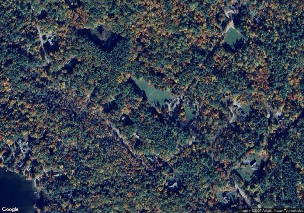
Map
Nearby Homes
- 53 Bay Dr
- 85 Portage Pass
- 67 Kline Rd
- 307 Dane Rd
- 9 Kelsea Ave
- 0 Route 3 Unit 5073061
- 14 Lake Shore Dr Unit G
- 38 Lake Shore Dr Unit 10
- 38 Lake Shore Dr Unit 12
- 78 Lake Shore Dr Unit 14
- 24 Dew Point Ln
- 22 Circle Dr Unit 38
- 320 Redding Ln
- M:027 L:002-001 Sheridan Rd
- M:027 L:002 Sheridan Rd
- 20 True Rd Unit 52
- 20 True Rd Unit 101
- 20 True Rd Unit 22
- 20 True Rd Unit 73
- 20 True Rd Unit 94
- 15 Singing Eagle Rd
- 56 Singing Eagle Rd
- 246 High Haith Rd
- 242 High Haith Rd
- 6 Singing Eagle Rd
- 0 Singing Eagle Rd
- 254 High Haith Rd
- 226 High Haith Rd
- 202 High Haith Rd
- 221 High Haith Rd
- 278 High Haith Rd
- 252 High Haith Rd
- 92 Singing Eagle Rd
- 92 Singing Eagle Rd
- 292 High Haith Rd
- 7 Sturtevant Beach Rd
- 190 High Haith Rd
- 185 High Haith Rd
- 5 Sturtevant Beach Rd
- 227 High Haith Rd
Your Personal Tour Guide
Ask me questions while you tour the home.