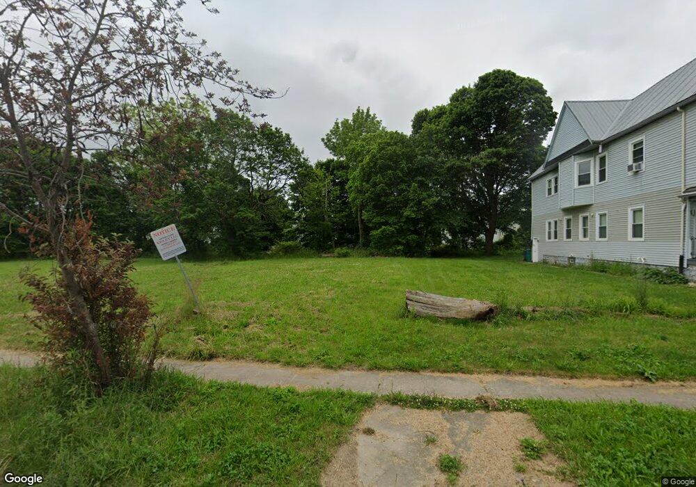
23 Southampton St Buffalo, NY 14209
Masten Park NeighborhoodEstimated Value: $10,000 - $377,000
--
Bed
--
Bath
3,643
Sq Ft
$44/Sq Ft
Est. Value
About This Home
This home is located at 23 Southampton St, Buffalo, NY 14209 and is currently estimated at $159,920, approximately $43 per square foot. 23 Southampton St is a home located in Erie County with nearby schools including Health Sciences Charter School and Stanley G Falk School.
Ownership History
Date
Name
Owned For
Owner Type
Purchase Details
Closed on
Dec 16, 2019
Sold by
City Of Buffalo
Bought by
Donnelly Ian
Current Estimated Value
Purchase Details
Closed on
Jan 22, 2016
Sold by
M & M Dearot Inc
Bought by
Kislev Llc
Purchase Details
Closed on
May 13, 2013
Sold by
Williams Katherine R and Williams Royal H
Bought by
M & M Dearot Inc
Home Financials for this Owner
Home Financials are based on the most recent Mortgage that was taken out on this home.
Original Mortgage
$90,000
Interest Rate
3.45%
Mortgage Type
Commercial
Create a Home Valuation Report for This Property
The Home Valuation Report is an in-depth analysis detailing your home's value as well as a comparison with similar homes in the area
Home Values in the Area
Average Home Value in this Area
Purchase History
| Date | Buyer | Sale Price | Title Company |
|---|---|---|---|
| Donnelly Ian | $500 | None Available | |
| Kislev Llc | -- | None Available | |
| M & M Dearot Inc | $230,000 | None Available |
Source: Public Records
Mortgage History
| Date | Status | Borrower | Loan Amount |
|---|---|---|---|
| Previous Owner | M & M Dearot Inc | $90,000 |
Source: Public Records
Tax History Compared to Growth
Tax History
| Year | Tax Paid | Tax Assessment Tax Assessment Total Assessment is a certain percentage of the fair market value that is determined by local assessors to be the total taxable value of land and additions on the property. | Land | Improvement |
|---|---|---|---|---|
| 2024 | $24 | $4,200 | $4,200 | $0 |
| 2023 | $21 | $4,200 | $4,200 | $0 |
| 2022 | $21 | $4,200 | $4,200 | $0 |
| 2021 | $21 | $4,200 | $4,200 | $0 |
| 2020 | $226 | $4,200 | $4,200 | $0 |
| 2019 | $1,131 | $29,400 | $2,100 | $27,300 |
| 2018 | $1,045 | $29,400 | $2,100 | $27,300 |
| 2017 | $175 | $29,400 | $2,100 | $27,300 |
| 2016 | $984 | $29,400 | $2,100 | $27,300 |
| 2015 | -- | $29,400 | $2,100 | $27,300 |
| 2014 | -- | $29,400 | $2,100 | $27,300 |
Source: Public Records
Map
Nearby Homes
- 1157 Michigan Ave
- 179 Dodge St
- 1152 Main St
- 97 Linwood Ave
- 63 Barker St Unit 2
- 63 Barker St Unit 3
- 172 Linwood Ave Unit 5
- 196 Linwood Ave
- 59 Linwood Ave
- 1366 Michigan Ave
- 113 Laurel St
- 211 Riley St
- 285 E North St Unit S
- 849 Delaware Ave Unit 204
- 849 Delaware Ave Unit 205
- 849 Delaware Ave Unit 404
- 849 Delaware Ave Unit 605
- 83 Bryant St Unit 7AB
- 83 Bryant St Unit 1C
- 83 Bryant St Unit 7D
- 17 Southampton St
- 15 Southampton St
- 90 Dodge St
- 98 Dodge St
- 86 Dodge St
- 82 Dodge St
- 41 Southampton St
- 1047 Ellicott St
- 80 Dodge St
- 106 Dodge St
- 45 Southampton St
- 1059 Ellicott St
- 47 Southampton St
- 40 Southampton St
- 1033 Ellicott St
- 112 Dodge St
- 42 Southampton St
- 49 Southampton St
- 46 Southampton St
- 118 Dodge St
