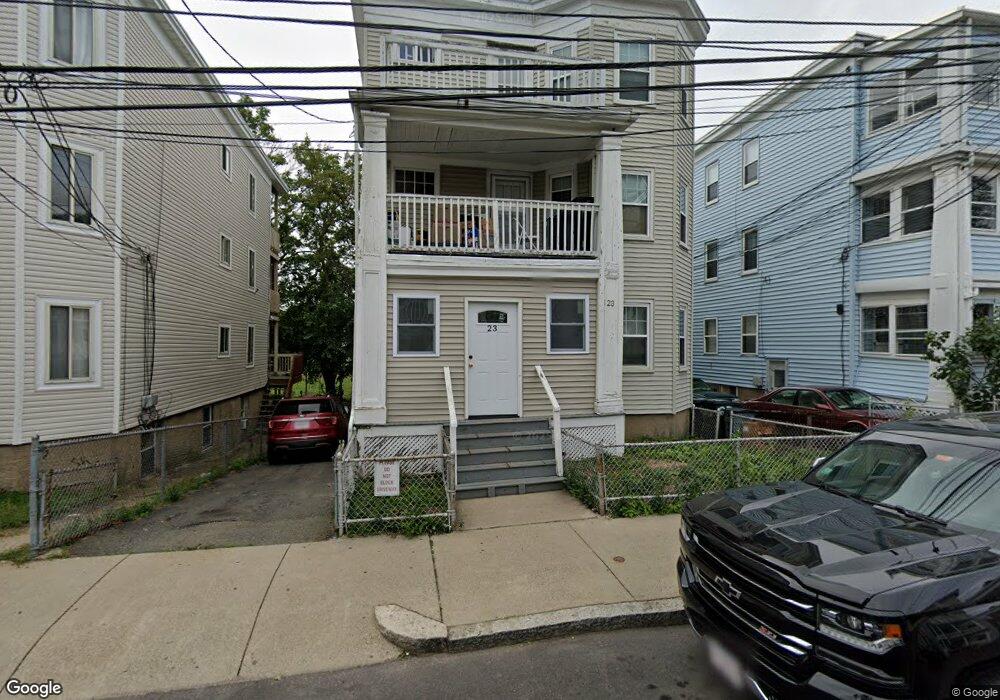
23 Stellman Rd Unit 2 Roslindale, MA 02131
Roslindale NeighborhoodEstimated Value: $948,325 - $1,101,000
2
Beds
1
Bath
1,000
Sq Ft
$1,003/Sq Ft
Est. Value
About This Home
This home is located at 23 Stellman Rd Unit 2, Roslindale, MA 02131 and is currently estimated at $1,003,331, approximately $1,003 per square foot. 23 Stellman Rd Unit 2 is a home located in Suffolk County with nearby schools including Brooke Charter School Roslindale, The Croft School - Jamaica Plain, and Sacred Heart STEM School.
Ownership History
Date
Name
Owned For
Owner Type
Purchase Details
Closed on
Jul 7, 2022
Sold by
Valencia Guido L Est
Bought by
Stanchik Elizabeth P and Valencia Guido A
Current Estimated Value
Purchase Details
Closed on
Sep 18, 1998
Sold by
Adams Debby H
Bought by
Valencia Gido
Create a Home Valuation Report for This Property
The Home Valuation Report is an in-depth analysis detailing your home's value as well as a comparison with similar homes in the area
Home Values in the Area
Average Home Value in this Area
Purchase History
| Date | Buyer | Sale Price | Title Company |
|---|---|---|---|
| Stanchik Elizabeth P | -- | None Available | |
| Valencia Gido | $189,900 | -- |
Source: Public Records
Mortgage History
| Date | Status | Borrower | Loan Amount |
|---|---|---|---|
| Previous Owner | Valencia Gido | $40,000 | |
| Previous Owner | Valencia Gido | $30,000 | |
| Previous Owner | Valencia Gido | $168,500 | |
| Previous Owner | Valencia Gido | $30,000 |
Source: Public Records
Tax History Compared to Growth
Tax History
| Year | Tax Paid | Tax Assessment Tax Assessment Total Assessment is a certain percentage of the fair market value that is determined by local assessors to be the total taxable value of land and additions on the property. | Land | Improvement |
|---|---|---|---|---|
| 2025 | $10,136 | $875,300 | $240,700 | $634,600 |
| 2024 | $9,228 | $846,600 | $253,400 | $593,200 |
| 2023 | $8,661 | $806,400 | $241,400 | $565,000 |
| 2022 | $8,353 | $767,700 | $229,800 | $537,900 |
| 2021 | $7,952 | $745,300 | $223,100 | $522,200 |
| 2020 | $6,777 | $641,800 | $214,400 | $427,400 |
| 2019 | $6,147 | $583,200 | $175,400 | $407,800 |
| 2018 | $5,714 | $545,200 | $175,400 | $369,800 |
| 2017 | $5,496 | $519,000 | $175,400 | $343,600 |
| 2016 | $5,437 | $494,300 | $175,400 | $318,900 |
| 2015 | $5,368 | $443,300 | $135,000 | $308,300 |
| 2014 | $4,923 | $391,300 | $135,000 | $256,300 |
Source: Public Records
Map
Nearby Homes
- 620 South St
- 4031 Washington St
- 108 Florence St Unit 3
- 108 Florence St Unit 1
- 108 Florence St Unit 4
- 187 Florence St Unit 2L
- 4012 Washington St
- 19 Delford St
- 19 Delford St Unit 1
- 173 Brookway Rd
- 348-350 Hyde Park Ave Unit 2
- 67 Cummins Hwy Unit 101
- 18-20 Northbourne Rd Unit 18
- 36 Neponset Ave Unit 1
- 27 Rowe St
- 50 Southbourne Rd
- 15 S Fairview St Unit 3
- 32 Jewett St
- 65 Birch St Unit 3
- 158 Wachusett St Unit 3
- 23 Stellman Rd
- 21 Stellman Rd
- 21 Stellman Rd Unit 3
- 21 Stellman Rd Unit 2
- 25 Stellman Rd
- 25 Stellman Rd Unit 2
- 19 Stellman Rd
- 19 Stellman Rd Unit 1
- 19 Stellman Rd Unit 2
- 19 Stellman Rd Unit 3
- 27 Stellman Rd
- 27 Stellman Rd Unit 2
- 29 Stellman Rd
- 29 Stellman Rd Unit 3
- 29 Stellman Rd Unit 1
- 29 Stellman Rd Unit 2
- 17 Stellman Rd
- 17 Stellman Rd Unit 3
- 26 Stellman Rd
- 24 Stellman Rd