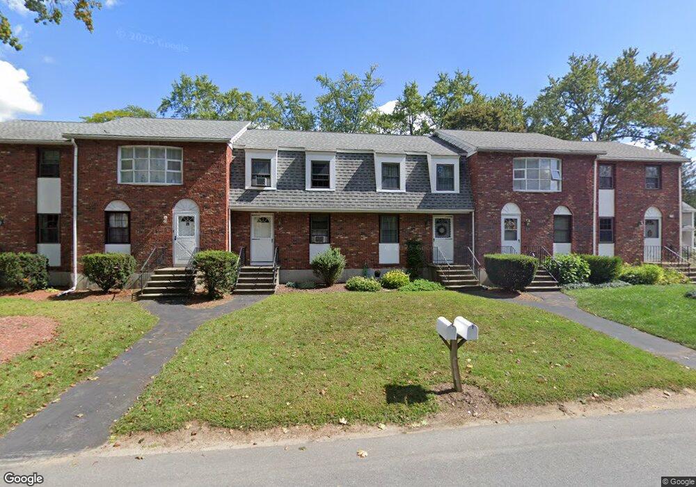
23 Stuart Ave Unit E Dracut, MA 01826
Estimated Value: $355,941 - $392,000
2
Beds
2
Baths
1,080
Sq Ft
$344/Sq Ft
Est. Value
About This Home
This home is located at 23 Stuart Ave Unit E, Dracut, MA 01826 and is currently estimated at $371,485, approximately $343 per square foot. 23 Stuart Ave Unit E is a home located in Middlesex County with nearby schools including Joseph A. Campbell Elementary School, Richardson Middle School, and Dracut Senior High School.
Ownership History
Date
Name
Owned For
Owner Type
Purchase Details
Closed on
Apr 1, 1998
Sold by
Fnma
Bought by
Borba Nazario X and Borba Natal R
Current Estimated Value
Home Financials for this Owner
Home Financials are based on the most recent Mortgage that was taken out on this home.
Original Mortgage
$50,300
Outstanding Balance
$9,373
Interest Rate
6.89%
Mortgage Type
Purchase Money Mortgage
Estimated Equity
$362,112
Purchase Details
Closed on
Oct 15, 1997
Sold by
Geehan Brian L
Bought by
Federal National Mortgage Association
Create a Home Valuation Report for This Property
The Home Valuation Report is an in-depth analysis detailing your home's value as well as a comparison with similar homes in the area
Home Values in the Area
Average Home Value in this Area
Purchase History
| Date | Buyer | Sale Price | Title Company |
|---|---|---|---|
| Borba Nazario X | $62,900 | -- | |
| Federal National Mortgage Association | $54,400 | -- |
Source: Public Records
Mortgage History
| Date | Status | Borrower | Loan Amount |
|---|---|---|---|
| Open | Federal National Mortgage Association | $50,300 |
Source: Public Records
Tax History
| Year | Tax Paid | Tax Assessment Tax Assessment Total Assessment is a certain percentage of the fair market value that is determined by local assessors to be the total taxable value of land and additions on the property. | Land | Improvement |
|---|---|---|---|---|
| 2025 | $3,424 | $338,300 | $0 | $338,300 |
| 2024 | $3,318 | $317,500 | $0 | $317,500 |
| 2023 | $3,102 | $267,900 | $0 | $267,900 |
| 2022 | $2,973 | $241,900 | $0 | $241,900 |
| 2021 | $2,909 | $223,600 | $0 | $223,600 |
| 2020 | $2,430 | $182,000 | $0 | $182,000 |
| 2019 | $2,042 | $148,500 | $0 | $148,500 |
| 2018 | $6,638 | $141,300 | $0 | $141,300 |
| 2017 | $2,020 | $141,300 | $0 | $141,300 |
| 2016 | $2,300 | $155,000 | $0 | $155,000 |
| 2015 | $2,202 | $147,500 | $0 | $147,500 |
| 2014 | $2,046 | $141,200 | $0 | $141,200 |
Source: Public Records
Map
Nearby Homes
- 31 Varnum Ave
- 821 Merrimack Ave
- 20 Mount Pleasant St
- 30 Parker Rd
- 2 Francis Dr Unit 405
- 4 Francis Dr Unit 312
- 4 Francis Dr Unit 207
- 2 Francis Dr Unit 301
- 84 Tellier Way
- 935 Methuen St Unit 13
- 18 Ravens Bluff
- 29 Stoneybrook Cir
- 81 Merrimack Meadows Ln
- 20 Hood Rd
- 20 Mount Joy Dr
- 206 Burnham Rd
- 322 River Rd
- 2 Greybirch Rd
- 163 Newbury St
- 46 Hopkins Cir
- 22 Essex St
- 888 Merrimack Ave
- 25 Varnum Ave
- 15 Varnum Ave
- 23 Essex St
- 880 Merrimack Ave
- 6 Essex St
- 195 Jackson St
- 7 Essex St
- 24 Varnum Ave
- 870 Merrimack Ave
- 54 Varnum Ave
- 10 Varnum Ave
- 66 Varnum Ave
- 910 Merrimack Ave
- 854 Merrimack Ave
- 75 Varnum Ave
- 18 Fuller Ave
- 61 Draycott Ave Unit lot2
- 49 Draycott Ave
Your Personal Tour Guide
Ask me questions while you tour the home.