23 Swamp Rd New Gloucester, ME 04260
Estimated Value: $349,000 - $439,000
3
Beds
2
Baths
768
Sq Ft
$525/Sq Ft
Est. Value
About This Home
This home is located at 23 Swamp Rd, New Gloucester, ME 04260 and is currently estimated at $402,906, approximately $524 per square foot. 23 Swamp Rd is a home located in Cumberland County with nearby schools including Gray-New Gloucester High School.
Ownership History
Date
Name
Owned For
Owner Type
Purchase Details
Closed on
Mar 8, 2006
Sold by
Sterling Darlene M
Bought by
Huot Roland A and Beckwith Christine A
Current Estimated Value
Home Financials for this Owner
Home Financials are based on the most recent Mortgage that was taken out on this home.
Original Mortgage
$189,000
Outstanding Balance
$105,476
Interest Rate
6.15%
Mortgage Type
Purchase Money Mortgage
Estimated Equity
$297,430
Purchase Details
Closed on
Mar 3, 2006
Sold by
Sterling Darlene M
Bought by
Sterling Sandra J
Home Financials for this Owner
Home Financials are based on the most recent Mortgage that was taken out on this home.
Original Mortgage
$189,000
Outstanding Balance
$105,476
Interest Rate
6.15%
Mortgage Type
Purchase Money Mortgage
Estimated Equity
$297,430
Create a Home Valuation Report for This Property
The Home Valuation Report is an in-depth analysis detailing your home's value as well as a comparison with similar homes in the area
Home Values in the Area
Average Home Value in this Area
Purchase History
| Date | Buyer | Sale Price | Title Company |
|---|---|---|---|
| Huot Roland A | -- | -- | |
| Sterling Sandra J | -- | -- |
Source: Public Records
Mortgage History
| Date | Status | Borrower | Loan Amount |
|---|---|---|---|
| Open | Huot Roland A | $189,000 |
Source: Public Records
Tax History Compared to Growth
Tax History
| Year | Tax Paid | Tax Assessment Tax Assessment Total Assessment is a certain percentage of the fair market value that is determined by local assessors to be the total taxable value of land and additions on the property. | Land | Improvement |
|---|---|---|---|---|
| 2025 | $3,343 | $216,077 | $67,990 | $148,087 |
| 2024 | $3,217 | $216,077 | $67,990 | $148,087 |
| 2023 | $3,088 | $216,077 | $67,990 | $148,087 |
| 2022 | $2,982 | $216,077 | $67,990 | $148,087 |
| 2021 | $2,982 | $216,077 | $67,990 | $148,087 |
| 2020 | $126 | $216,077 | $67,990 | $148,087 |
| 2019 | $154 | $175,600 | $62,100 | $113,500 |
| 2018 | $2,774 | $175,600 | $62,100 | $113,500 |
| 2017 | $2,739 | $175,600 | $62,100 | $113,500 |
| 2016 | $2,581 | $175,600 | $62,100 | $113,500 |
| 2015 | $2,573 | $175,600 | $62,100 | $113,500 |
| 2014 | $2,546 | $175,600 | $62,100 | $113,500 |
| 2013 | $2,362 | $175,600 | $62,100 | $113,500 |
Source: Public Records
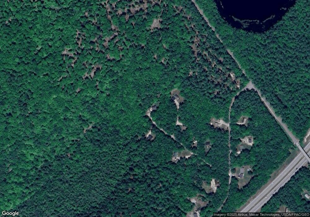
Map
Nearby Homes
- 24 Swamp Rd
- 271 Bennett Rd
- 164 Intervale Rd
- 22 Shaw Rd
- 14 Golden Way
- 12 Country Charm Ln
- TBD Targett Rd
- 10 Cobbs Bridge Rd
- 423 Sabbathday Rd
- 161 Beaver Dam Dr
- 160 Gloucester Hill Rd
- 155 & 151 Gloucester Hill Rd
- 0018-C Gloucester Hill Rd
- 29 Rockwood Dr
- 10-56 C&E Bowdoin Way
- 26 Carpenter Rd
- 46-47D Hines Rd & Main St
- 200 Woodman Rd
- 10 Spring Valley Ln
- Lot 47D -C Hines Rd
- 17 Ridgeline Dr
- Lot 27-E Ridgeline Dr
- 15 Ridgeline Dr
- 5 Ridgeline
- 28 Ridgeline Dr
- 0 Ridgeline Unit 837985
- 0 Ridgeline Unit 914822
- 14 Ridgeline Dr
- 16 Swamp Rd
- 34 Swamp Rd
- 39 Swamp Rd
- 26 Swamp Rd
- 55 Swamp Rd
- 24 Ridgeline Dr
- 27 Cobble Hill Rd
- 196 Chandler Mill Rd
- 56 Cobble Hill Rd
- 185 Chandler Rd
- 185 Chandler Mill Rd
- 42 Cobble Hill Rd