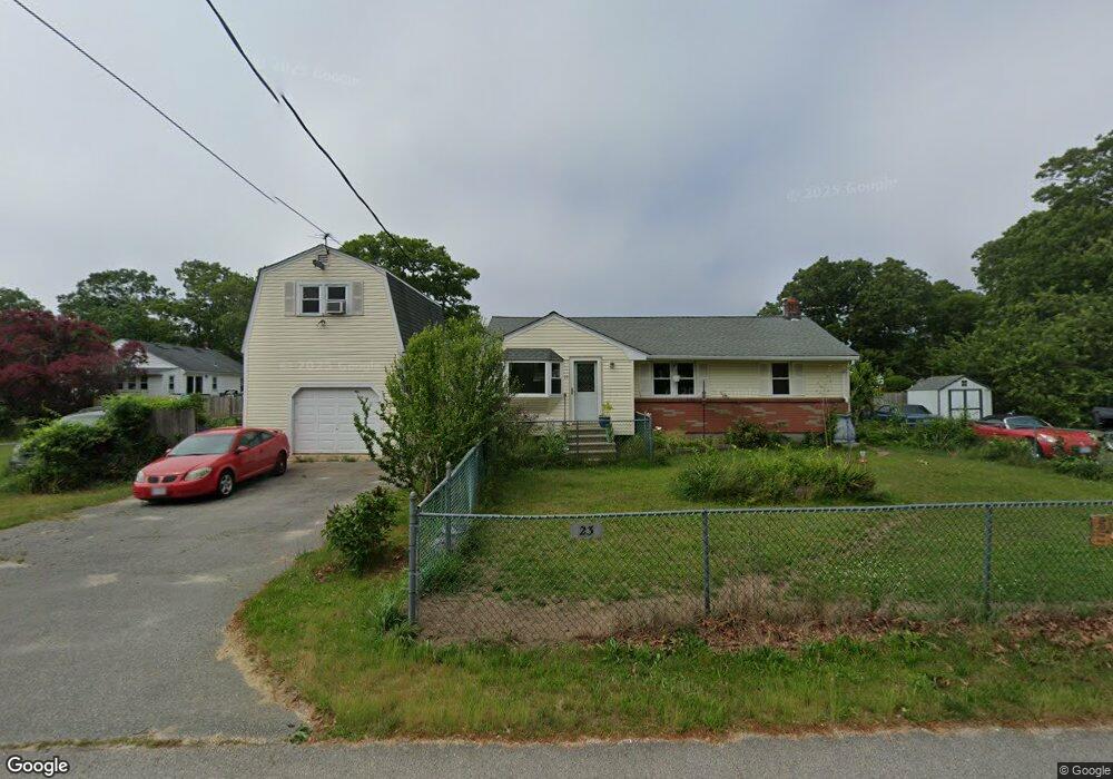
23 Tomahawk Dr Buzzards Bay, MA 02532
Estimated Value: $448,000 - $475,000
3
Beds
1
Bath
1,012
Sq Ft
$453/Sq Ft
Est. Value
About This Home
This home is located at 23 Tomahawk Dr, Buzzards Bay, MA 02532 and is currently estimated at $458,382, approximately $452 per square foot. 23 Tomahawk Dr is a home with nearby schools including St Margaret Regional School.
Ownership History
Date
Name
Owned For
Owner Type
Purchase Details
Closed on
Jan 28, 2013
Sold by
Draper James L and Draper Janice A
Bought by
Draper Scott A and Draper Cheryl A
Current Estimated Value
Purchase Details
Closed on
Aug 30, 1996
Sold by
Veach Doris M
Bought by
Draper James L and Draper Janice A
Home Financials for this Owner
Home Financials are based on the most recent Mortgage that was taken out on this home.
Original Mortgage
$73,200
Interest Rate
8.18%
Mortgage Type
Purchase Money Mortgage
Create a Home Valuation Report for This Property
The Home Valuation Report is an in-depth analysis detailing your home's value as well as a comparison with similar homes in the area
Purchase History
| Date | Buyer | Sale Price | Title Company |
|---|---|---|---|
| Draper Scott A | -- | -- | |
| Draper Scott A | -- | -- | |
| Draper James L | $91,500 | -- | |
| Draper James L | $91,500 | -- |
Source: Public Records
Mortgage History
| Date | Status | Borrower | Loan Amount |
|---|---|---|---|
| Previous Owner | Draper James L | $52,000 | |
| Previous Owner | Draper James L | $73,200 |
Source: Public Records
Tax History
| Year | Tax Paid | Tax Assessment Tax Assessment Total Assessment is a certain percentage of the fair market value that is determined by local assessors to be the total taxable value of land and additions on the property. | Land | Improvement |
|---|---|---|---|---|
| 2025 | $4,086 | $372,100 | $122,500 | $249,600 |
| 2024 | $4,082 | $349,500 | $96,200 | $253,300 |
| 2023 | $3,643 | $312,500 | $87,400 | $225,100 |
| 2022 | $3,643 | $267,500 | $87,400 | $180,100 |
| 2021 | $3,627 | $259,100 | $87,400 | $171,700 |
| 2020 | $3,359 | $245,000 | $87,400 | $157,600 |
| 2019 | $3,153 | $232,500 | $86,100 | $146,400 |
| 2018 | $3,003 | $213,900 | $86,100 | $127,800 |
| 2017 | $2,804 | $200,600 | $86,100 | $114,500 |
| 2016 | $2,591 | $183,900 | $85,400 | $98,500 |
| 2015 | $2,519 | $183,900 | $85,400 | $98,500 |
| 2014 | $2,534 | $190,700 | $85,400 | $105,300 |
Source: Public Records
Map
Nearby Homes
- 3132 Cranberry Hwy Unit 59
- 92 Choctaw Dr
- 60 Martin St
- 67 Algonquin St
- 13 Bay Pointe Drive Extension
- 13 Bay Pointe Drive Extension Unit 13
- 29 Wenonah Rd
- 3 Fairway Dr Unit F
- 29 Wenonah Rd
- 22 Long Neck Rd
- 56 Rip Van Winkle Way
- 1 Downey St
- 23 Starboard Dr Unit Lot 50
- 36B Starboard Dr Unit 36E
- 36B Starboard Dr Unit 36G
- 36B Starboard Dr Unit 36C
- 36B Starboard Dr Unit 36A
- 36B Starboard Dr Unit 36D
- 36B Starboard Dr Unit 36B
- 36B Starboard Dr Unit 36F
- 17 Arrowhead Dr
- 17 Arrowhead Dr Unit 1
- 32 Butler St
- 32 Tomahawk Dr
- 21 Tomahawk Dr
- 30 Tomahawk Dr
- 36 Butler St
- 13 Arrowhead Dr
- 28 Tomahawk Dr
- 17 Arrowhead Dr
- 17 Arrowhead Dr Unit house
- 42 Cohasset Rd
- 10 Arrowhead Dr
- 12 Arrowhead Dr
- 30 Cohasset Rd
- 14 Arrowhead Dr
- 57 Butler St
- 59 Butler St
- 55 Butler St
- 11 Arrowhead Dr
Your Personal Tour Guide
Ask me questions while you tour the home.