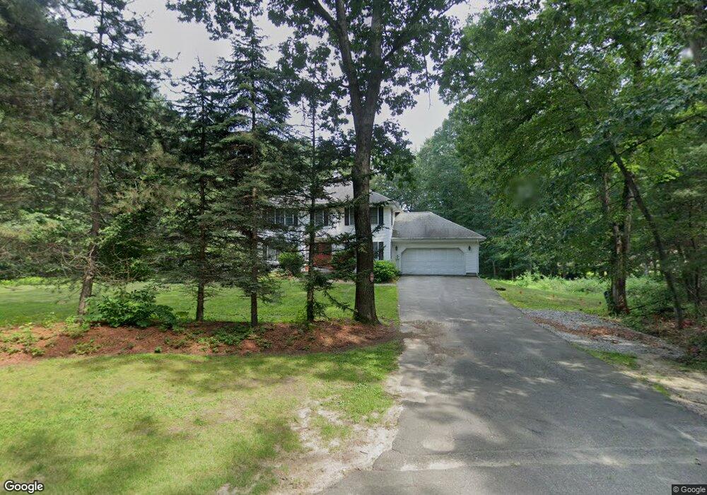
23 Twin Spring Dr Boylston, MA 01505
Estimated Value: $706,000 - $992,000
4
Beds
3
Baths
3,000
Sq Ft
$292/Sq Ft
Est. Value
About This Home
This home is located at 23 Twin Spring Dr, Boylston, MA 01505 and is currently estimated at $874,622, approximately $291 per square foot. 23 Twin Spring Dr is a home located in Worcester County with nearby schools including Tahanto Regional High School.
Ownership History
Date
Name
Owned For
Owner Type
Purchase Details
Closed on
May 19, 2005
Sold by
Hawkins Cheryl D and Hawkins Thomas R
Bought by
Poretsky Janice and Poretsky Neal
Current Estimated Value
Home Financials for this Owner
Home Financials are based on the most recent Mortgage that was taken out on this home.
Original Mortgage
$359,650
Outstanding Balance
$188,847
Interest Rate
5.95%
Mortgage Type
Purchase Money Mortgage
Estimated Equity
$685,775
Create a Home Valuation Report for This Property
The Home Valuation Report is an in-depth analysis detailing your home's value as well as a comparison with similar homes in the area
Home Values in the Area
Average Home Value in this Area
Purchase History
| Date | Buyer | Sale Price | Title Company |
|---|---|---|---|
| Poretsky Janice | $520,000 | -- |
Source: Public Records
Mortgage History
| Date | Status | Borrower | Loan Amount |
|---|---|---|---|
| Open | Poretsky Janice | $359,650 |
Source: Public Records
Tax History
| Year | Tax Paid | Tax Assessment Tax Assessment Total Assessment is a certain percentage of the fair market value that is determined by local assessors to be the total taxable value of land and additions on the property. | Land | Improvement |
|---|---|---|---|---|
| 2025 | $10,837 | $783,600 | $224,200 | $559,400 |
| 2024 | $9,771 | $707,500 | $224,200 | $483,300 |
| 2023 | $9,393 | $652,300 | $196,600 | $455,700 |
| 2022 | $8,900 | $561,900 | $196,600 | $365,300 |
| 2021 | $9,480 | $558,300 | $196,600 | $361,700 |
| 2020 | $9,097 | $550,000 | $196,200 | $353,800 |
| 2019 | $6,284 | $530,300 | $194,600 | $335,700 |
| 2018 | $8,611 | $514,700 | $194,600 | $320,100 |
| 2017 | $8,297 | $514,700 | $194,600 | $320,100 |
| 2016 | $7,761 | $474,100 | $148,200 | $325,900 |
| 2015 | $8,254 | $474,100 | $148,200 | $325,900 |
| 2014 | $7,752 | $445,800 | $135,000 | $310,800 |
Source: Public Records
Map
Nearby Homes
- 30 Bridle Path
- 49 Barnard Hill Rd
- 15 Rocky Pond Rd
- 50 Barnard Hill Rd
- 7-11 Reservoir St
- 9 Morningside Dr
- 8 Hunter Cir
- 59 Linden St
- 81 West St
- 1A Mentzer Ave
- 1 Harmony Ln Unit 4
- 2 Harmony Ln Unit 1
- 63 High St
- 17 Wilder Rd
- 210 Green St
- 26 High St
- 279 Sewall St Unit 279
- 281 Sewall St Unit 281
- 289 Sewall St Unit 289
- 291 Sewall St Unit 291
- 27 Twin Spring Dr
- 33 Twin Spring Dr
- 15 Twin Spring Dr
- 18 Twin Spring Dr
- 146 Stiles Rd
- 41 Twin Spring Dr
- 30 Twin Spring Dr
- 14 Twin Spring Dr
- 142 Stiles Rd
- 38 Twin Spring Dr
- 46 Twin Spring Dr
- 138 Stiles Rd
- 150 Stiles Rd
- 129 Stiles Rd
- 72 Columbus Rd
- 135 Stiles Rd
- 51 Twin Spring Dr
- 143 Stiles Rd
- 0 Reservoir St
- 25 Stiles Rd
Your Personal Tour Guide
Ask me questions while you tour the home.