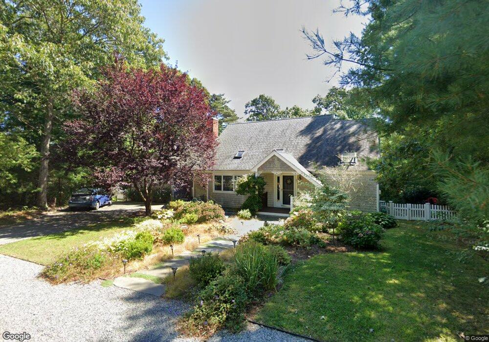
23 Wampum Rd East Falmouth, MA 02536
Hatchville NeighborhoodEstimated Value: $823,000 - $1,055,000
5
Beds
4
Baths
2,608
Sq Ft
$362/Sq Ft
Est. Value
About This Home
This home is located at 23 Wampum Rd, East Falmouth, MA 02536 and is currently estimated at $944,167, approximately $362 per square foot. 23 Wampum Rd is a home located in Barnstable County with nearby schools including Mullen-Hall School, Morse Pond School, and Lawrence School.
Ownership History
Date
Name
Owned For
Owner Type
Purchase Details
Closed on
Aug 6, 2020
Sold by
Sully Joan M and Sousa Dina C
Bought by
Sully Joan M and Sousa Dina C
Current Estimated Value
Purchase Details
Closed on
May 26, 2011
Sold by
Austin Thomas C and Austin Reid M
Bought by
Sully Joan M and Sousa Dina C
Home Financials for this Owner
Home Financials are based on the most recent Mortgage that was taken out on this home.
Original Mortgage
$170,000
Interest Rate
4.17%
Mortgage Type
Purchase Money Mortgage
Create a Home Valuation Report for This Property
The Home Valuation Report is an in-depth analysis detailing your home's value as well as a comparison with similar homes in the area
Home Values in the Area
Average Home Value in this Area
Purchase History
| Date | Buyer | Sale Price | Title Company |
|---|---|---|---|
| Sully Joan M | -- | None Available | |
| Sully Joan M | $430,000 | -- |
Source: Public Records
Mortgage History
| Date | Status | Borrower | Loan Amount |
|---|---|---|---|
| Previous Owner | Sully Joan M | $170,000 |
Source: Public Records
Tax History Compared to Growth
Tax History
| Year | Tax Paid | Tax Assessment Tax Assessment Total Assessment is a certain percentage of the fair market value that is determined by local assessors to be the total taxable value of land and additions on the property. | Land | Improvement |
|---|---|---|---|---|
| 2025 | $4,206 | $716,600 | $148,800 | $567,800 |
| 2024 | $4,117 | $655,600 | $141,000 | $514,600 |
| 2023 | $4,012 | $579,800 | $141,000 | $438,800 |
| 2022 | $3,650 | $453,400 | $106,300 | $347,100 |
| 2021 | $3,456 | $406,600 | $101,700 | $304,900 |
| 2020 | $3,413 | $397,300 | $92,400 | $304,900 |
| 2019 | $3,338 | $389,900 | $92,400 | $297,500 |
| 2018 | $3,190 | $370,900 | $92,400 | $278,500 |
| 2017 | $3,087 | $361,900 | $92,400 | $269,500 |
| 2016 | $3,029 | $361,900 | $92,400 | $269,500 |
| 2015 | $2,964 | $361,900 | $92,400 | $269,500 |
| 2014 | $2,901 | $356,000 | $97,300 | $258,700 |
Source: Public Records
Map
Nearby Homes
- 12 Beach Plum Path
- 12 Rock Hollow Dr
- 4 Josiah Path
- 7 Josiah Path
- 18 Josiah Path
- 20 Josiah Path
- 21 Josiah Path
- 30 Josiah Path
- 59 Whitecaps Dr
- 68 Deepwood Dr
- 17 Pinewood Dr
- 34 Mckenna Ridge Rd
- 273 Sandwich Rd
- 32 Jamie Ln
- 61 Mckenna Ridge Dr
- 149 Brick Kiln Rd
- 70 Meredith Dr
- 25 Percival Rd
- 100 Tanglewood Dr
- 63 Pine Valley Dr Unit 63 aka 30A