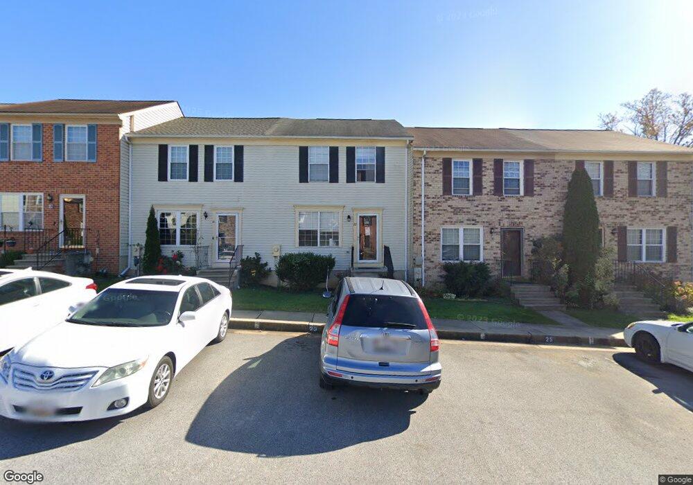
23 West End Ct Baltimore, MD 21227
Estimated Value: $290,051 - $329,000
Studio
2
Baths
1,140
Sq Ft
$273/Sq Ft
Est. Value
About This Home
This home is located at 23 West End Ct, Baltimore, MD 21227 and is currently estimated at $310,763, approximately $272 per square foot. 23 West End Ct is a home located in Baltimore County with nearby schools including Relay Elementary School, Arbutus Middle School, and Lansdowne High School.
Ownership History
Date
Name
Owned For
Owner Type
Purchase Details
Closed on
Jun 17, 2024
Sold by
Ford Matthew and Rzepkowski Dolores Ida
Bought by
Ramstrom Sarah E
Current Estimated Value
Home Financials for this Owner
Home Financials are based on the most recent Mortgage that was taken out on this home.
Original Mortgage
$268,690
Outstanding Balance
$265,261
Interest Rate
7.02%
Mortgage Type
New Conventional
Estimated Equity
$45,502
Purchase Details
Closed on
Jan 14, 1986
Sold by
Heritage Homes I Nc
Bought by
Rzepkowski Hubert A and Rzepkowski Dolores I
Create a Home Valuation Report for This Property
The Home Valuation Report is an in-depth analysis detailing your home's value as well as a comparison with similar homes in the area
Home Values in the Area
Average Home Value in this Area
Purchase History
| Date | Buyer | Sale Price | Title Company |
|---|---|---|---|
| Ramstrom Sarah E | $277,000 | None Listed On Document | |
| Ramstrom Sarah E | $277,000 | None Listed On Document | |
| Rzepkowski Hubert A | $78,900 | -- |
Source: Public Records
Mortgage History
| Date | Status | Borrower | Loan Amount |
|---|---|---|---|
| Open | Ramstrom Sarah E | $268,690 | |
| Closed | Ramstrom Sarah E | $268,690 |
Source: Public Records
Tax History
| Year | Tax Paid | Tax Assessment Tax Assessment Total Assessment is a certain percentage of the fair market value that is determined by local assessors to be the total taxable value of land and additions on the property. | Land | Improvement |
|---|---|---|---|---|
| 2025 | $3,444 | $218,500 | -- | -- |
| 2024 | $3,444 | $196,100 | $60,000 | $136,100 |
| 2023 | $3,392 | $193,967 | $0 | $0 |
| 2022 | $3,300 | $191,833 | $0 | $0 |
| 2021 | $1,632 | $189,700 | $60,000 | $129,700 |
| 2020 | $3,219 | $186,067 | $0 | $0 |
| 2019 | $3,156 | $182,433 | $0 | $0 |
| 2018 | $3,074 | $178,800 | $60,000 | $118,800 |
| 2017 | $2,853 | $171,033 | $0 | $0 |
| 2016 | $2,709 | $163,267 | $0 | $0 |
| 2015 | $2,709 | $155,500 | $0 | $0 |
| 2014 | $2,709 | $155,500 | $0 | $0 |
Source: Public Records
Map
Nearby Homes
- 12 Piedmont Ct
- 25 W W End Ct
- 16 W End Ct
- 19 Piedmont Ct
- 5729 Richardson Mews Square
- 5816 Richardson Mews Square
- 20 Deer Run Ct Unit F
- 1132 Ingate Rd
- 901 Grovehill Rd
- 927 Grovehill Rd
- 5657 Chelwynd Rd
- 1078 Downton Rd
- 1027 Downton Rd
- 1807 Sutton Ave
- 1015 Stormont Cir
- 4624 Magnolia Ave
- 1710H Selma Ave
- 4606 Ridge Ave
- 5536 Gayland Rd
- 5605 Oregon Ave