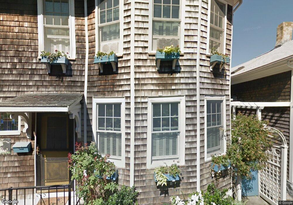
23 West St Newport, RI 02840
Historic Hill NeighborhoodEstimated Value: $816,917 - $1,079,000
4
Beds
2
Baths
1,540
Sq Ft
$603/Sq Ft
Est. Value
About This Home
This home is located at 23 West St, Newport, RI 02840 and is currently estimated at $927,979, approximately $602 per square foot. 23 West St is a home located in Newport County with nearby schools including Rogers High School, St Michael's Country Day School, and St George's School.
Ownership History
Date
Name
Owned For
Owner Type
Purchase Details
Closed on
Sep 7, 2017
Sold by
Emsellem Patricia N
Bought by
Emsellem Patricia N
Current Estimated Value
Purchase Details
Closed on
May 15, 1998
Sold by
Watterson Edith Est
Bought by
Emsellem Patricia N
Create a Home Valuation Report for This Property
The Home Valuation Report is an in-depth analysis detailing your home's value as well as a comparison with similar homes in the area
Home Values in the Area
Average Home Value in this Area
Purchase History
| Date | Buyer | Sale Price | Title Company |
|---|---|---|---|
| Emsellem Patricia N | -- | -- | |
| Emsellem Patricia N | $115,000 | -- |
Source: Public Records
Mortgage History
| Date | Status | Borrower | Loan Amount |
|---|---|---|---|
| Previous Owner | Emsellem Patricia N | $155,000 | |
| Previous Owner | Emsellem Patricia N | $165,000 | |
| Previous Owner | Emsellem Patricia N | $153,000 |
Source: Public Records
Tax History Compared to Growth
Tax History
| Year | Tax Paid | Tax Assessment Tax Assessment Total Assessment is a certain percentage of the fair market value that is determined by local assessors to be the total taxable value of land and additions on the property. | Land | Improvement |
|---|---|---|---|---|
| 2025 | $5,130 | $714,500 | $326,100 | $388,400 |
| 2024 | $4,980 | $714,500 | $326,100 | $388,400 |
| 2023 | $4,987 | $502,700 | $213,200 | $289,500 |
| 2022 | $4,831 | $502,700 | $213,200 | $289,500 |
| 2021 | $4,690 | $502,700 | $213,200 | $289,500 |
| 2020 | $4,397 | $427,700 | $215,900 | $211,800 |
| 2019 | $4,397 | $427,700 | $215,900 | $211,800 |
| 2018 | $4,273 | $427,700 | $215,900 | $211,800 |
| 2017 | $3,773 | $336,600 | $154,500 | $182,100 |
| 2016 | $3,679 | $336,600 | $154,500 | $182,100 |
| 2015 | $3,592 | $336,600 | $154,500 | $182,100 |
| 2014 | $3,698 | $306,600 | $131,300 | $175,300 |
Source: Public Records
Map
Nearby Homes
- 30 S Baptist St
- 28 Young St
- 13 Dean Ave
- 30 Brewer St Unit 3
- 24 Brown and Howard Wharf Unit 301
- 6 Sharon Ct
- 604 Thames & 4 Dixon St
- 364 Bellevue Ave Unit A1
- 364 Bellevue Ave Unit D7
- 26 Freebody St
- 20 Berkeley Ave Unit 2
- 26 Franklin St
- 8 Sylvan St
- 75 Pelham St Unit B
- 19 Slocum St
- 50 E Bowery St
- 21 Slocum St
- 66 Webster St Unit 9
- 5 Lowndes St
- 57 Clinton St Unit 57C