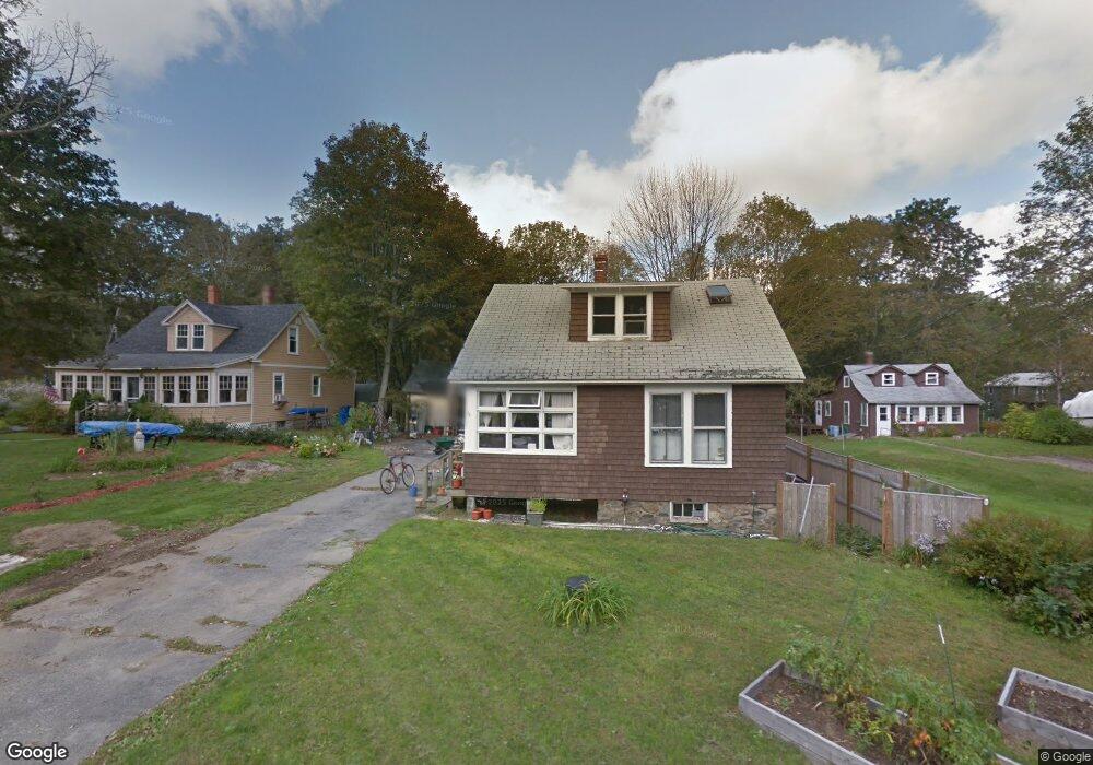
23 Wyman Ave Kittery, ME 03904
Estimated Value: $607,000 - $703,000
3
Beds
2
Baths
1,706
Sq Ft
$384/Sq Ft
Est. Value
About This Home
This home is located at 23 Wyman Ave, Kittery, ME 03904 and is currently estimated at $655,204, approximately $384 per square foot. 23 Wyman Ave is a home with nearby schools including Horace Mitchell Primary School, Shapleigh School, and Robert W Traip Academy.
Ownership History
Date
Name
Owned For
Owner Type
Purchase Details
Closed on
Jun 15, 2016
Sold by
Reuter Eric L
Bought by
Reuter Eric L and Herbold Stacey P
Current Estimated Value
Home Financials for this Owner
Home Financials are based on the most recent Mortgage that was taken out on this home.
Original Mortgage
$306,400
Interest Rate
3.61%
Mortgage Type
Unknown
Create a Home Valuation Report for This Property
The Home Valuation Report is an in-depth analysis detailing your home's value as well as a comparison with similar homes in the area
Home Values in the Area
Average Home Value in this Area
Purchase History
| Date | Buyer | Sale Price | Title Company |
|---|---|---|---|
| Reuter Eric L | -- | -- |
Source: Public Records
Mortgage History
| Date | Status | Borrower | Loan Amount |
|---|---|---|---|
| Closed | Reuter Eric L | $306,400 |
Source: Public Records
Tax History Compared to Growth
Tax History
| Year | Tax Paid | Tax Assessment Tax Assessment Total Assessment is a certain percentage of the fair market value that is determined by local assessors to be the total taxable value of land and additions on the property. | Land | Improvement |
|---|---|---|---|---|
| 2024 | $5,931 | $417,700 | $189,300 | $228,400 |
| 2023 | $5,685 | $417,700 | $189,300 | $228,400 |
| 2022 | $5,631 | $417,700 | $189,300 | $228,400 |
| 2021 | $5,430 | $417,700 | $189,300 | $228,400 |
| 2020 | $5,388 | $417,700 | $189,300 | $228,400 |
| 2019 | $4,072 | $234,000 | $59,700 | $174,300 |
| 2018 | $2,711 | $234,000 | $59,700 | $174,300 |
| 2017 | $3,610 | $218,800 | $59,700 | $159,100 |
| 2016 | $2,709 | $168,800 | $59,700 | $109,100 |
| 2015 | $2,645 | $168,800 | $59,700 | $109,100 |
| 2014 | $2,620 | $168,800 | $59,700 | $109,100 |
| 2013 | $2,569 | $168,800 | $59,700 | $109,100 |
Source: Public Records
Map
Nearby Homes
- 12 Gillis Dr Unit 3
- 116 Whipple Rd
- 205 Whipple Rd
- 10-12 Pine St
- 165 Rogers Rd
- 8 Spruce Point Rd
- 8 Water St Unit 2
- 8 Water St Unit 1
- 100 Shepards Cove Rd Unit F204
- 100 Shepards Cove Rd Unit G204
- 299 Haley Rd
- 17 Elm Ct
- 197 State Rd
- 15 Atkinson St
- 20 Mendum Ave
- 72 Pepperrell Rd
- 14 Colonial Ln
- 35 Badgers Island W Unit 203
- 35 Badgers Island W Unit 301
- 35 Badgers Island W Unit 204
- 21 Wyman Ave
- 27 Wyman Ave
- 29 Wyman Ave
- 22 Wyman Ave
- 17 Wyman Ave
- 30 Wyman Ave
- 18 Wyman Ave
- 30 Philbrick Rd
- 16 Wyman Ave
- 32 Philbrick Rd
- 6 Gillis Dr
- 35 Wyman Ave
- 28 Wyman Ave
- 22 Philbrick Rd
- 15 Wyman Ave
- 5 Philbrick Ln Unit 3
- 5 Philbrick Ln Unit 4
- 5 Philbrick Ln Unit 2
- 5 Philbrick Ln Unit 6
- 5 Philbrick Ln Unit 1