230 Calef Hill Rd Tilton, NH 03276
Tilton NeighborhoodEstimated Value: $650,000 - $739,962
3
Beds
2
Baths
2,971
Sq Ft
$232/Sq Ft
Est. Value
About This Home
This home is located at 230 Calef Hill Rd, Tilton, NH 03276 and is currently estimated at $688,654, approximately $231 per square foot. 230 Calef Hill Rd is a home with nearby schools including Southwick School, Winnisquam Regional Middle School, and Winnisquam Regional High School.
Ownership History
Date
Name
Owned For
Owner Type
Purchase Details
Closed on
Aug 29, 2025
Sold by
Michael and Michael Teri Harbour
Bought by
Lessard One Ft and Lessard
Current Estimated Value
Purchase Details
Closed on
Aug 17, 2015
Sold by
Carignan Ft and Carignan
Bought by
Lessard 1 Ft and Lessard
Purchase Details
Closed on
Sep 10, 2002
Sold by
Williams Wayne W and Williams Dimitria
Bought by
Fortin & Redmond Assoc
Create a Home Valuation Report for This Property
The Home Valuation Report is an in-depth analysis detailing your home's value as well as a comparison with similar homes in the area
Home Values in the Area
Average Home Value in this Area
Purchase History
| Date | Buyer | Sale Price | Title Company |
|---|---|---|---|
| Lessard One Ft | $185,000 | -- | |
| Lessard One Ft | $185,000 | -- | |
| Lessard One Ft | $185,000 | -- | |
| Lessard 1 Ft | $53,533 | -- | |
| Lessard 1 Ft | $53,533 | -- | |
| Fortin & Redmond Assoc | $105,000 | -- | |
| Fortin & Redmond Assoc | $105,000 | -- |
Source: Public Records
Tax History Compared to Growth
Tax History
| Year | Tax Paid | Tax Assessment Tax Assessment Total Assessment is a certain percentage of the fair market value that is determined by local assessors to be the total taxable value of land and additions on the property. | Land | Improvement |
|---|---|---|---|---|
| 2024 | $6,909 | $639,700 | $139,700 | $500,000 |
| 2023 | $6,608 | $373,100 | $78,300 | $294,800 |
| 2022 | $5,996 | $373,100 | $78,300 | $294,800 |
| 2021 | $6,104 | $373,100 | $78,300 | $294,800 |
| 2020 | $6,891 | $373,100 | $78,300 | $294,800 |
| 2019 | $7,316 | $373,100 | $78,300 | $294,800 |
| 2018 | $6,681 | $299,200 | $60,900 | $238,300 |
| 2017 | $6,368 | $296,200 | $57,900 | $238,300 |
| 2016 | $1,080 | $52,100 | $52,100 | $0 |
| 2015 | $1,197 | $52,100 | $52,100 | $0 |
| 2014 | $924 | $46,400 | $46,400 | $0 |
| 2013 | $1,008 | $55,100 | $55,100 | $0 |
| 2012 | $1,006 | $55,100 | $55,100 | $0 |
Source: Public Records
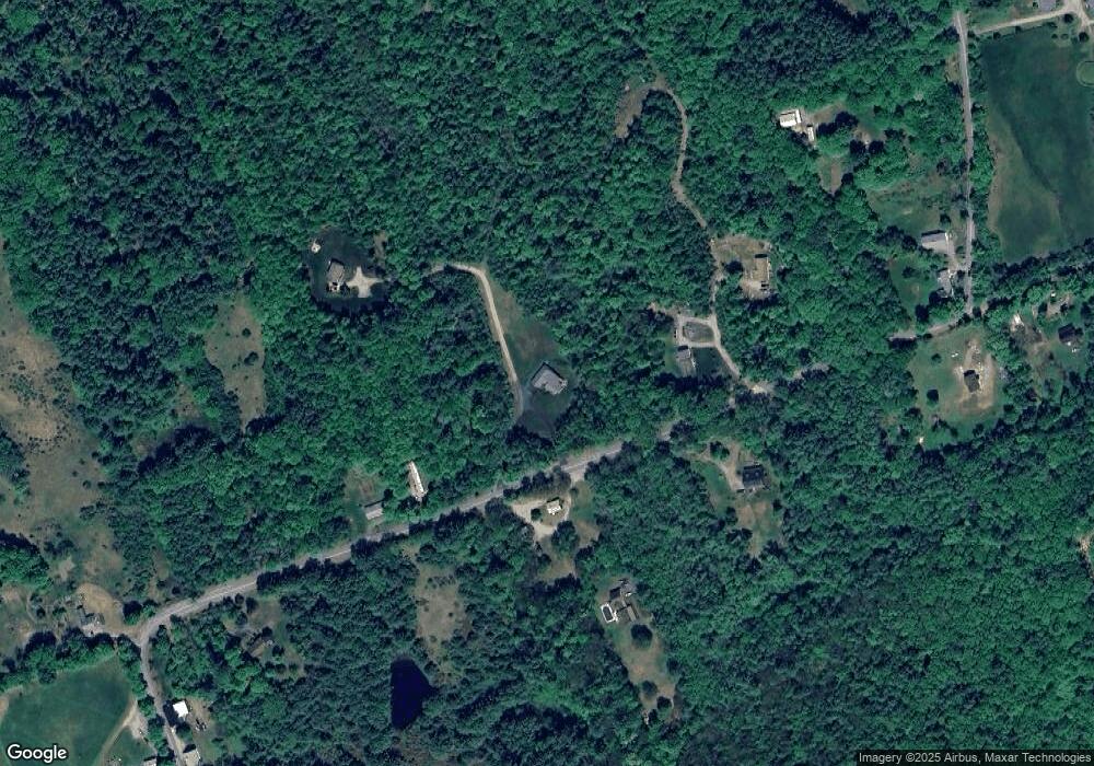
Map
Nearby Homes
- R02-13 Calef Hill Rd
- 1 Marsh Hill Cir
- 12 Foothills Way
- 18 Pine St
- 495 W Main St
- 22 Cedar St
- 9 High St
- 9 Aspen Rd
- 225 Kendall St
- 193 Kendall St
- 0 Gulf Rd Unit 33 5061892
- 42 Woodrow Ave
- 180 Kendall St
- 9 Hunt Ave
- 24 Munroe St Unit 2
- 24 Munroe St Unit 1&2
- 24 Munroe St Unit 1
- 208 Sanborn St
- 721 Central St
- 12 Stonehenge Cir
- 221 Calef Hill Rd
- 126 Pest House Rd
- 244 Calef Hill Rd
- 245 Calef Hill Rd
- 229 Calef Hill Rd
- 246 Calef Hill Rd
- 222 Calef Hill Rd
- 247 Calef Hill Rd
- 302 Calef Hill Rd
- 189 Calef Hill Rd
- 282 Calef Hill Rd
- Lot #3 Calef Hill Rd
- 310 Calef Hill Rd
- 169 Calef Hill Rd
- 7 Range Rd
- 9 Pest House Rd
- 164 Calef Hill Rd
- 151 Calef Hill Rd
- 162 Calef Hill Rd
- 15 Range Rd