230 Conrad Point Dr Lakeside, MT 59922
Estimated Value: $847,000 - $1,233,000
3
Beds
2
Baths
1,932
Sq Ft
$521/Sq Ft
Est. Value
About This Home
This home is located at 230 Conrad Point Dr, Lakeside, MT 59922 and is currently estimated at $1,006,142, approximately $520 per square foot. 230 Conrad Point Dr is a home located in Flathead County with nearby schools including Lakeside Elementary School, Somers Middle School, and Flathead High School.
Ownership History
Date
Name
Owned For
Owner Type
Purchase Details
Closed on
Oct 6, 2021
Sold by
Ruhi Kaveh
Bought by
Bratton Brittney Michelle and Bratton Dere Phillip
Current Estimated Value
Home Financials for this Owner
Home Financials are based on the most recent Mortgage that was taken out on this home.
Original Mortgage
$540,000
Outstanding Balance
$488,135
Interest Rate
2.8%
Mortgage Type
New Conventional
Estimated Equity
$518,007
Create a Home Valuation Report for This Property
The Home Valuation Report is an in-depth analysis detailing your home's value as well as a comparison with similar homes in the area
Home Values in the Area
Average Home Value in this Area
Purchase History
| Date | Buyer | Sale Price | Title Company |
|---|---|---|---|
| Bratton Brittney Michelle | -- | Fidelity National Title |
Source: Public Records
Mortgage History
| Date | Status | Borrower | Loan Amount |
|---|---|---|---|
| Open | Bratton Brittney Michelle | $540,000 |
Source: Public Records
Tax History
| Year | Tax Paid | Tax Assessment Tax Assessment Total Assessment is a certain percentage of the fair market value that is determined by local assessors to be the total taxable value of land and additions on the property. | Land | Improvement |
|---|---|---|---|---|
| 2025 | $2,969 | $796,300 | $0 | $0 |
| 2024 | $3,111 | $569,700 | $0 | $0 |
| 2023 | $3,249 | $569,700 | $0 | $0 |
| 2022 | $2,837 | $359,400 | $0 | $0 |
| 2021 | $2,827 | $359,400 | $0 | $0 |
| 2020 | $2,543 | $298,310 | $0 | $0 |
| 2019 | $2,456 | $298,310 | $0 | $0 |
| 2018 | $2,391 | $275,358 | $0 | $0 |
| 2017 | $2,210 | $275,358 | $0 | $0 |
| 2016 | $1,931 | $255,100 | $0 | $0 |
| 2015 | $1,998 | $255,100 | $0 | $0 |
| 2014 | $2,960 | $243,026 | $0 | $0 |
Source: Public Records
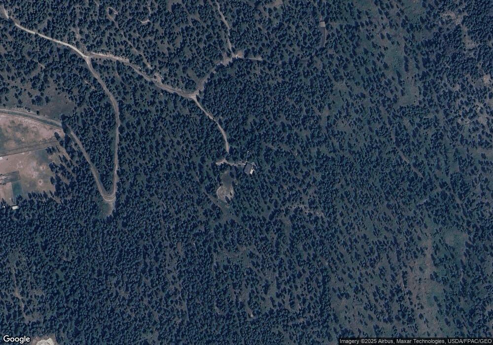
Map
Nearby Homes
- 66 Angel Point Rd
- 268 Tamarack Terrace Rd
- 272 Tamarack Terrace Rd
- 27 Bayview Dr
- 458 Political Hill Rd
- 480 Political Hill Rd
- 207 Angel Point Preserve
- 168 Angel Point Preserve
- 360 Ridge Line Dr
- 100 Political Hill Rd
- 953 Angel Point Rd
- 351 Ridge Line Dr
- 103 Tamarack Woods Dr
- 240 Blacktail Rd
- 149 Monet Rd
- 207 Stoner Loop Unit A
- 7175 US Highway 93 S Unit 1-203
- 7175 US Highway 93 S Unit 4-301
- 7175 US Highway 93 S Unit 3-104
- 138 Crystal View Ct
- 201 Conrad Point Trail
- NHN Conrad Point Rd
- 580 Conrad Point Dr
- 250 Conrad Point Dr
- 220 Conrad Point Dr
- 211 Angel Point Rd
- 225 B Angel Point Rd
- 274 Majestic Terrace Rd
- 240 Conrad Point Trail
- 75 Wulf Way
- 115 Angel Point Rd
- 150 Conrad Point Dr
- 155 Patriot Trail
- 365 Angel Point Rd
- 365 Angel Point Rd
- 105 Angel Point Rd
- 95 Angel Point Rd
- 145 Angel Point Rd
- 74 Wulf Way
- 250 Majestic Terrace Rd
Your Personal Tour Guide
Ask me questions while you tour the home.