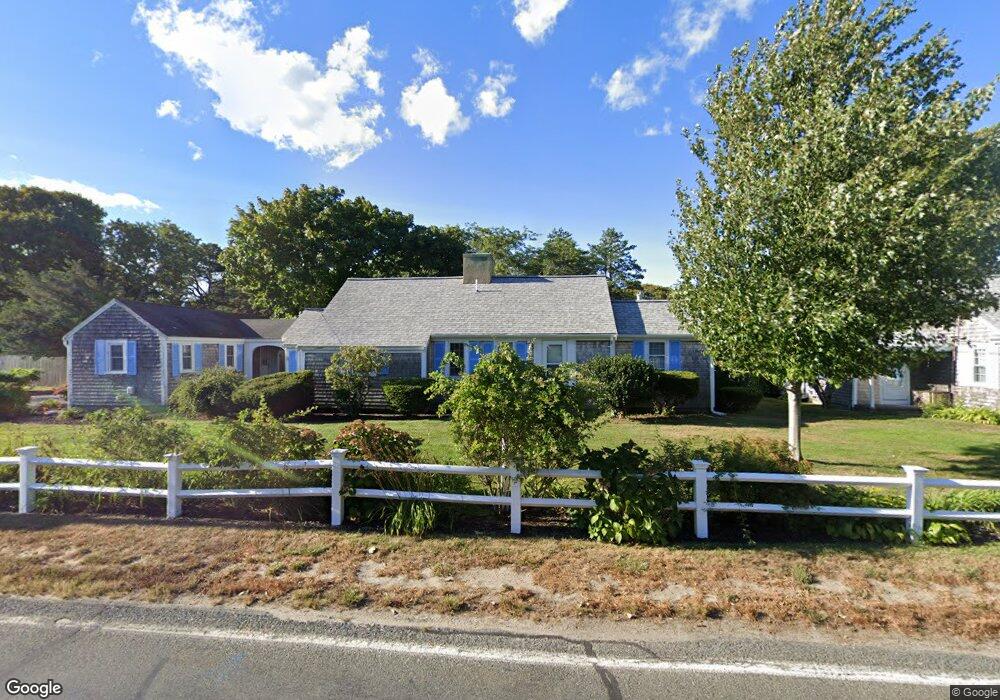
230 Gosnold St Unit 11A Hyannis, MA 02601
Estimated Value: $528,000 - $578,000
1
Bed
1
Bath
1,189
Sq Ft
$467/Sq Ft
Est. Value
About This Home
This home is located at 230 Gosnold St Unit 11A, Hyannis, MA 02601 and is currently estimated at $555,495, approximately $467 per square foot. 230 Gosnold St Unit 11A is a home located in Barnstable County with nearby schools including Hyannis West Elementary School, Barnstable United Elementary School, and Barnstable Intermediate School.
Ownership History
Date
Name
Owned For
Owner Type
Purchase Details
Closed on
Jun 21, 2002
Sold by
Pandora Rt and Gulden Linda Jill
Bought by
Snow Richard and Snow Ann
Current Estimated Value
Purchase Details
Closed on
Sep 28, 1989
Sold by
Wyatt Judith M
Bought by
Toscano Elizabeth M
Home Financials for this Owner
Home Financials are based on the most recent Mortgage that was taken out on this home.
Original Mortgage
$60,000
Interest Rate
9.92%
Mortgage Type
Purchase Money Mortgage
Create a Home Valuation Report for This Property
The Home Valuation Report is an in-depth analysis detailing your home's value as well as a comparison with similar homes in the area
Home Values in the Area
Average Home Value in this Area
Purchase History
| Date | Buyer | Sale Price | Title Company |
|---|---|---|---|
| Snow Richard | $49,000 | -- | |
| Toscano Elizabeth M | $75,000 | -- |
Source: Public Records
Mortgage History
| Date | Status | Borrower | Loan Amount |
|---|---|---|---|
| Previous Owner | Toscano Elizabeth M | $60,000 |
Source: Public Records
Tax History Compared to Growth
Tax History
| Year | Tax Paid | Tax Assessment Tax Assessment Total Assessment is a certain percentage of the fair market value that is determined by local assessors to be the total taxable value of land and additions on the property. | Land | Improvement |
|---|---|---|---|---|
| 2025 | $4,898 | $528,400 | $0 | $528,400 |
| 2024 | $4,138 | $457,200 | $0 | $457,200 |
| 2023 | $4,803 | $501,900 | $0 | $501,900 |
| 2022 | $4,355 | $376,400 | $0 | $376,400 |
| 2021 | $3,415 | $286,700 | $0 | $286,700 |
| 2020 | $3,057 | $247,900 | $0 | $247,900 |
| 2019 | $2,771 | $220,300 | $0 | $220,300 |
| 2018 | $3,621 | $211,500 | $0 | $211,500 |
| 2017 | $3,382 | $282,100 | $0 | $282,100 |
| 2016 | $3,309 | $282,100 | $0 | $282,100 |
| 2015 | $2,127 | $183,800 | $0 | $183,800 |
Source: Public Records
Map
Nearby Homes
- 281 Gosnold St
- 342 Sea St
- 500 Ocean St Unit 152
- 381 Ocean St Unit 1
- 93 Sea St
- 16 Iyanough Rd
- 287 Ocean St Unit C2
- 287 Ocean St Unit 2 BLDG C
- 25 Ripple Cove Rd
- 14 Marston Ave
- 18 Mount Vernon Ave
- 24 Betty's Pond Rd Unit 1K
- 24 Bettys Pond Rd Unit K
- 417 Scudder Ave
- 135 W Main St Unit 45
- 172 Irving Ave
- 151 & 155 Irving Ave
- 35 Grayton Ave
- 110 School St Unit E114
- 110 School St Unit E209
- 230 Gosnold St Unit 8C
- 230 Gosnold St Unit 18A
- 230 Gosnold St Unit 17A
- 230 Gosnold St Unit 16A
- 230 Gosnold St Unit 15A
- 230 Gosnold St Unit 14A
- 230 Gosnold St Unit 12A
- 230 Gosnold St Unit 10A
- 230 Gosnold St Unit M5
- 230 Gosnold St Unit 9A
- 230 Gosnold St Unit 8A
- 230 Gosnold St Unit 7A
- 230 Gosnold St Unit 6A
- 230 Gosnold St Unit 5B
- 230 Gosnold St Unit 5A
- 230 Gosnold St Unit 4B
- 230 Gosnold St Unit 4A
- 230 Gosnold St Unit 3B
- 230 Gosnold St Unit 3A
- 230 Gosnold St Unit 2B