230 Hope Ln West Union, OH 45693
Estimated Value: $250,000 - $380,080
3
Beds
2
Baths
2,016
Sq Ft
$144/Sq Ft
Est. Value
About This Home
This home is located at 230 Hope Ln, West Union, OH 45693 and is currently estimated at $289,520, approximately $143 per square foot. 230 Hope Ln is a home located in Adams County with nearby schools including Manchester Elementary School and Manchester High School.
Ownership History
Date
Name
Owned For
Owner Type
Purchase Details
Closed on
Mar 5, 2024
Sold by
Beer Richard J
Bought by
Beer Barbara A
Current Estimated Value
Purchase Details
Closed on
Nov 12, 2004
Sold by
Coffman Michael S
Bought by
Beer Richard J
Purchase Details
Closed on
Feb 26, 1999
Sold by
Grooms Betty A
Bought by
Coffman Michael S
Purchase Details
Closed on
Apr 11, 1994
Bought by
Grooms Betty A
Create a Home Valuation Report for This Property
The Home Valuation Report is an in-depth analysis detailing your home's value as well as a comparison with similar homes in the area
Home Values in the Area
Average Home Value in this Area
Purchase History
| Date | Buyer | Sale Price | Title Company |
|---|---|---|---|
| Beer Barbara A | -- | None Listed On Document | |
| Beer Richard J | $20,000 | -- | |
| Coffman Michael S | $16,000 | -- | |
| Grooms Betty A | $148,000 | -- |
Source: Public Records
Tax History Compared to Growth
Tax History
| Year | Tax Paid | Tax Assessment Tax Assessment Total Assessment is a certain percentage of the fair market value that is determined by local assessors to be the total taxable value of land and additions on the property. | Land | Improvement |
|---|---|---|---|---|
| 2024 | $1,629 | $80,120 | $18,760 | $61,360 |
| 2023 | $1,657 | $80,120 | $18,760 | $61,360 |
| 2022 | $1,657 | $64,860 | $13,650 | $51,210 |
| 2021 | $1,406 | $64,860 | $13,650 | $51,210 |
| 2020 | $1,361 | $64,860 | $13,650 | $51,210 |
| 2019 | $1,337 | $64,860 | $13,650 | $51,210 |
| 2018 | $1,415 | $58,170 | $13,650 | $44,520 |
| 2017 | $1,218 | $58,170 | $13,650 | $44,520 |
| 2016 | $1,208 | $58,170 | $13,650 | $44,520 |
| 2015 | $1,185 | $62,480 | $18,130 | $44,350 |
| 2014 | $1,184 | $62,480 | $18,130 | $44,350 |
Source: Public Records
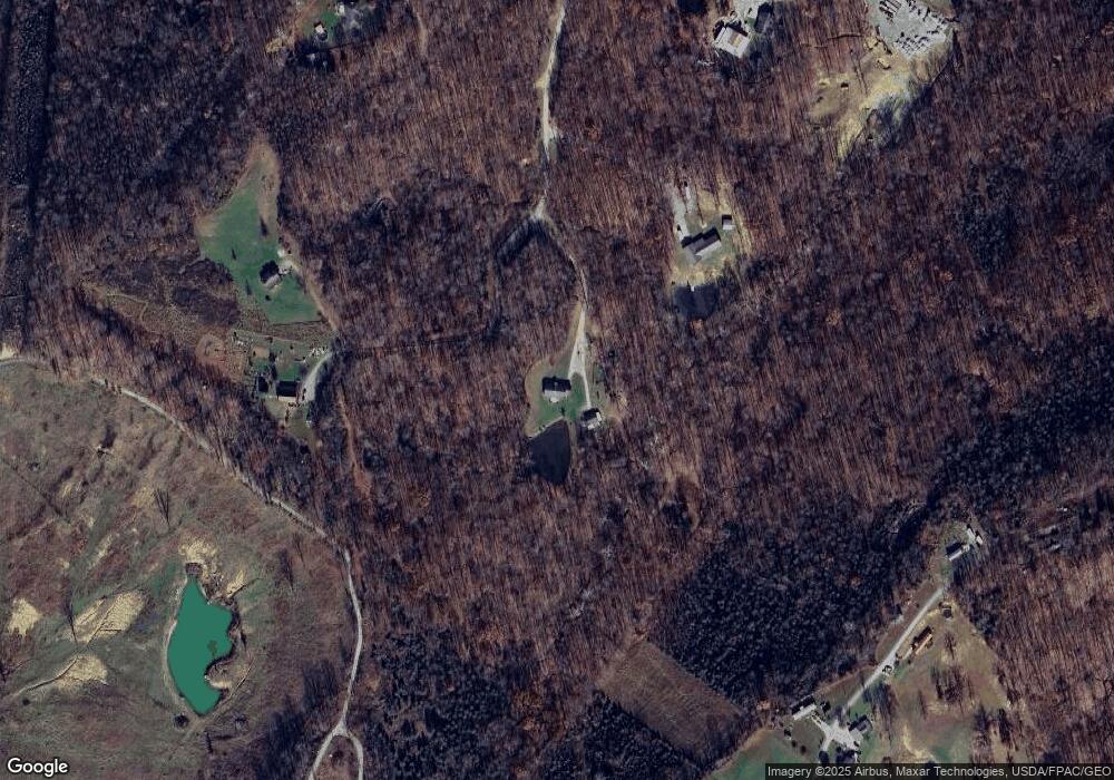
Map
Nearby Homes
- 9598 State Route 41
- 223 Polk St
- 333 Crawford Rd
- 271 Crawford Rd
- 1300 Bentonville Rd
- 1070 Eagle Creek Rd
- 40 Greenwood Ave
- 81 Evergreen St
- 166 Pumpkin Ridge Rd
- 144 Pumpkin Ridge Rd
- 4423 Pumpkin Ridge Rd
- 2060 Moores Run Rd
- 0 Cic Blvd
- 144 ac Pumpkin Ridge Rd
- 43 Hill Crest Ln
- 43 Hillcrest Ln
- 126 Robinson Hollow Rd
- 0 State Route 136 Lot Unit Wp001
- 88 Rayborn Rd
- 0 State Route 41 1 Acre Lot
- Lot 18 Charity Ln
- lot 16 Charity Ln
- 80 Charity Ln
- 80 Charity Ln Unit Lot 18
- 80 Charity Ln Unit Lot 16
- 222 Hope Ln
- 166 Charity Ln
- 155 Charity Ln
- Lt16&18 Charity Ln
- 18 Charity Ln
- 18 Charity Ln Unit 18
- 91 Rosie Ln
- 221 Rosie Ln
- 506 Faith Rd
- 159 Hope Ln
- 135 Hope Ln
- 112 Hope Ln
- 1400 Poplar Flat Rd
- 1500 Poplar Flat Rd
- 71 Hope Ln