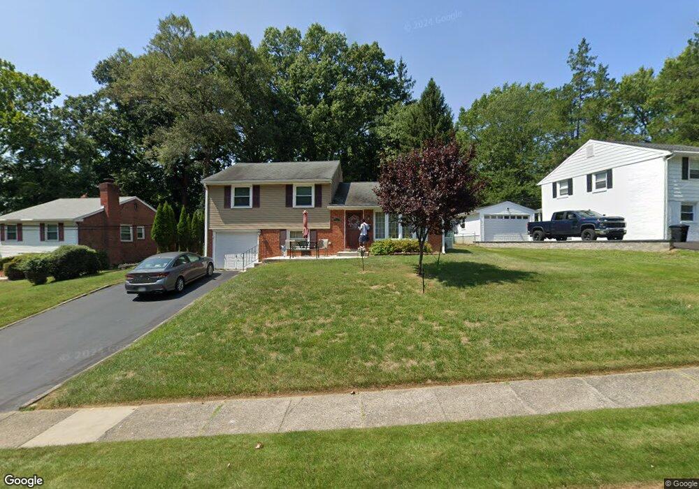
230 Lewis Rd Springfield, PA 19064
Estimated Value: $557,000 - $590,000
3
Beds
2
Baths
2,049
Sq Ft
$280/Sq Ft
Est. Value
About This Home
This home is located at 230 Lewis Rd, Springfield, PA 19064 and is currently estimated at $572,919, approximately $279 per square foot. 230 Lewis Rd is a home located in Delaware County with nearby schools including Springfield High School, St Francis Of Assisi School, and Holy Cross School.
Ownership History
Date
Name
Owned For
Owner Type
Purchase Details
Closed on
Sep 20, 2023
Sold by
Dougherty Kathryn M
Bought by
Kathryn M Dougherty Revocable Living Rust and Dougherty
Current Estimated Value
Purchase Details
Closed on
Jul 17, 1995
Sold by
Brenton Richard and Brenton Kathleen D
Bought by
Dougherty William F and Dougherty Kathryn M
Create a Home Valuation Report for This Property
The Home Valuation Report is an in-depth analysis detailing your home's value as well as a comparison with similar homes in the area
Home Values in the Area
Average Home Value in this Area
Purchase History
| Date | Buyer | Sale Price | Title Company |
|---|---|---|---|
| Kathryn M Dougherty Revocable Living Rust | -- | None Listed On Document | |
| Kathryn M Dougherty Revocable Living Rust | -- | None Listed On Document | |
| Dougherty William F | $158,500 | Commonwealth Land Title Ins |
Source: Public Records
Tax History Compared to Growth
Tax History
| Year | Tax Paid | Tax Assessment Tax Assessment Total Assessment is a certain percentage of the fair market value that is determined by local assessors to be the total taxable value of land and additions on the property. | Land | Improvement |
|---|---|---|---|---|
| 2025 | $8,223 | $292,560 | $123,820 | $168,740 |
| 2024 | $8,223 | $292,560 | $123,820 | $168,740 |
| 2023 | $7,918 | $292,560 | $123,820 | $168,740 |
| 2022 | $7,747 | $292,560 | $123,820 | $168,740 |
| 2021 | $11,997 | $292,560 | $123,820 | $168,740 |
| 2020 | $7,263 | $160,280 | $59,530 | $100,750 |
| 2019 | $7,092 | $160,280 | $59,530 | $100,750 |
| 2018 | $6,991 | $160,280 | $0 | $0 |
| 2017 | $6,829 | $160,280 | $0 | $0 |
| 2016 | $880 | $160,280 | $0 | $0 |
| 2015 | $898 | $156,780 | $0 | $0 |
| 2014 | $860 | $156,780 | $0 | $0 |
Source: Public Records
Map
Nearby Homes
- 364 S Rolling Rd
- 1366 Nicklaus Dr Unit O125
- 326 Powell Rd
- 444 Kerr Ln
- 517 W Woodland Ave
- 251 Powell Rd
- 232 S Highland Rd
- 224 Ballymore Rd
- 201 S Highland Rd
- 268 Beechwood Rd
- 38 S Britton Rd
- 240 Beechwood Rd
- 332 Franklin Ave
- 838 Springhaven Rd
- 214 Lynbrooke Rd
- 63 S Hillcrest Rd
- 651 N Chester Rd
- 225 Lynbrooke Rd
- 499 Collins Dr
- 304 Providence Rd