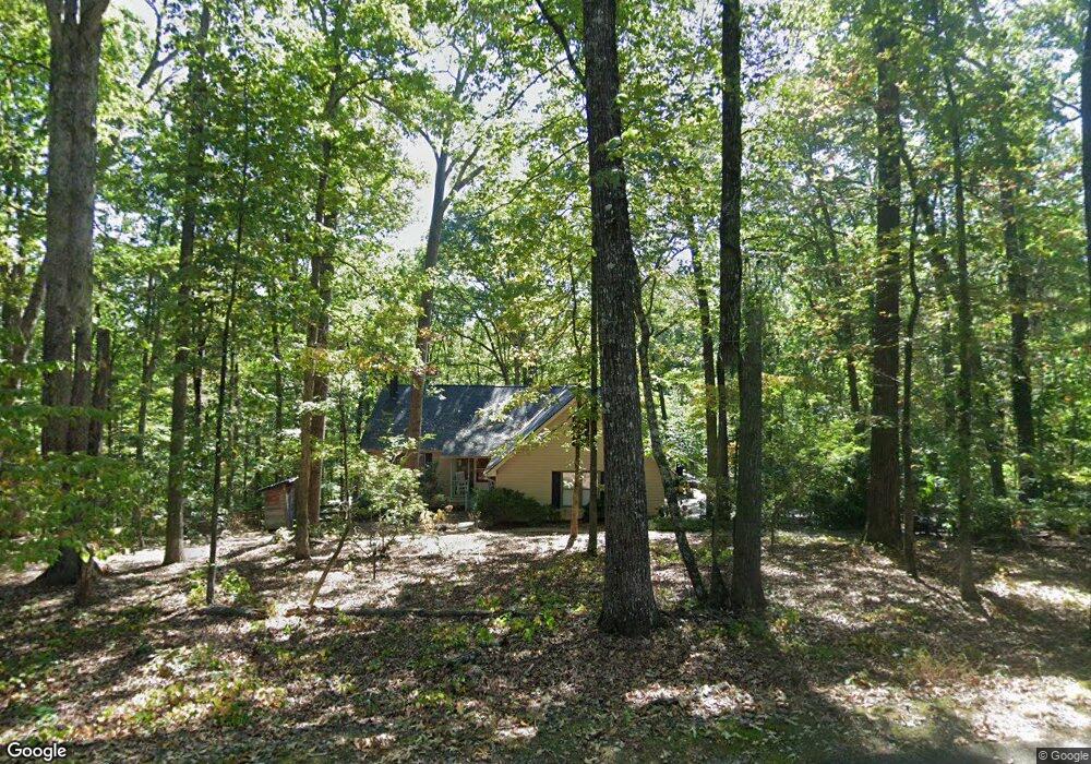
230 McCartan Trail Clarkesville, GA 30523
Estimated Value: $427,000 - $554,000
4
Beds
3
Baths
2,300
Sq Ft
$210/Sq Ft
Est. Value
About This Home
This home is located at 230 McCartan Trail, Clarkesville, GA 30523 and is currently estimated at $483,795, approximately $210 per square foot. 230 McCartan Trail is a home located in Habersham County with nearby schools including Clarkesville Elementary School, North Habersham Middle School, and Habersham Success Academy.
Ownership History
Date
Name
Owned For
Owner Type
Purchase Details
Closed on
Nov 20, 2020
Sold by
Roney Steve
Bought by
Roney Steve and Roney Torrie
Current Estimated Value
Purchase Details
Closed on
Sep 14, 2020
Sold by
Smith Nancy Blount
Bought by
Roney Steve
Home Financials for this Owner
Home Financials are based on the most recent Mortgage that was taken out on this home.
Original Mortgage
$253,175
Interest Rate
2.9%
Mortgage Type
New Conventional
Purchase Details
Closed on
Jan 1, 2007
Sold by
Not Provided
Bought by
Smith Nancy Blount
Home Financials for this Owner
Home Financials are based on the most recent Mortgage that was taken out on this home.
Original Mortgage
$130,500
Interest Rate
6.07%
Mortgage Type
New Conventional
Create a Home Valuation Report for This Property
The Home Valuation Report is an in-depth analysis detailing your home's value as well as a comparison with similar homes in the area
Home Values in the Area
Average Home Value in this Area
Purchase History
| Date | Buyer | Sale Price | Title Company |
|---|---|---|---|
| Roney Steve | -- | -- | |
| Roney Steve | $266,500 | -- | |
| Smith Nancy Blount | $209,600 | -- |
Source: Public Records
Mortgage History
| Date | Status | Borrower | Loan Amount |
|---|---|---|---|
| Previous Owner | Roney Steve | $253,175 | |
| Previous Owner | Smith Nancy Blount | $130,500 |
Source: Public Records
Tax History Compared to Growth
Tax History
| Year | Tax Paid | Tax Assessment Tax Assessment Total Assessment is a certain percentage of the fair market value that is determined by local assessors to be the total taxable value of land and additions on the property. | Land | Improvement |
|---|---|---|---|---|
| 2025 | $2,947 | $159,095 | $30,902 | $128,193 |
| 2024 | -- | $168,508 | $23,972 | $144,536 |
| 2023 | $2,441 | $143,428 | $23,972 | $119,456 |
| 2022 | $2,707 | $118,400 | $15,980 | $102,420 |
| 2021 | $2,561 | $106,600 | $15,960 | $90,640 |
| 2020 | $920 | $80,236 | $15,980 | $64,256 |
| 2019 | $922 | $80,236 | $15,980 | $64,256 |
| 2018 | $900 | $78,240 | $13,984 | $64,256 |
| 2017 | $795 | $72,452 | $13,984 | $58,468 |
| 2016 | $703 | $176,130 | $11,984 | $58,468 |
| 2015 | $679 | $176,130 | $11,984 | $58,468 |
| 2014 | $1,636 | $172,050 | $11,984 | $56,836 |
| 2013 | -- | $70,820 | $13,984 | $56,836 |
Source: Public Records
Map
Nearby Homes
- 323 McCartan Trail
- 165 Pearl St
- 145 Goldust Ave
- 1867 Georgia 197
- 220 Hardman Rd
- 1096 Sutton Mill Rd
- 2041 Highway 197 N
- 182 Hardman Rd
- 274 Hardman Rd
- 264 River Fields Dr
- 182 Farm Hill Dr
- 132 James Rd
- 0 Old Clarkesville Mill Rd Unit (LOT 13)
- 0 Old Clarkesville Mill Rd Unit (LOT 11)
- 0 Old Clarkesville Mill Rd Unit (LOT 12)
- 297 Old Clarkesville Mill Rd
- 399 Grindstone Creek Dr
- 117 Village Green Way
- 214 Old Clarkesville Mill Rd Unit B
- 382 Sherwood Dr
- 250 McCartan Trail
- 979 Riverwilde Rd
- 249 McCartan Trail
- 217 McCartan Trail
- 360 McCartan Trail
- 287 McCartan Trail
- 1167 Riverwilde Rd
- 238 Settlers Point Dr
- 1105 Riverwilde Rd
- 775 Riverwilde Rd
- 985 Riverwilde Rd
- 301 McCartan Trail Unit 10
- 323 McCartan Trail Unit 11
- 420 McCartan Trail
- 810 Riverwilde Rd
- 233 Settlers Point Dr
- 355 McCartan Trail
- 768 Riverwilde Rd Unit Lot 3
- 768 Riverwilde Rd
- 229 Settlers Point Dr