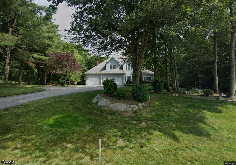
230 Pheasant Run Saunderstown, RI 02874
Saunderstown NeighborhoodEstimated Value: $1,065,000 - $1,459,000
4
Beds
3
Baths
3,187
Sq Ft
$384/Sq Ft
Est. Value
About This Home
This home is located at 230 Pheasant Run, Saunderstown, RI 02874 and is currently estimated at $1,224,117, approximately $384 per square foot. 230 Pheasant Run is a home located in Washington County with nearby schools including Hamilton Elementary School, Wickford Middle School, and North Kingstown Sr. High School.
Ownership History
Date
Name
Owned For
Owner Type
Purchase Details
Closed on
Nov 19, 1999
Sold by
David A Cote Builders
Bought by
Shamirian Robert A and Shamirian Diane M
Current Estimated Value
Create a Home Valuation Report for This Property
The Home Valuation Report is an in-depth analysis detailing your home's value as well as a comparison with similar homes in the area
Home Values in the Area
Average Home Value in this Area
Purchase History
| Date | Buyer | Sale Price | Title Company |
|---|---|---|---|
| Shamirian Robert A | $426,000 | -- |
Source: Public Records
Mortgage History
| Date | Status | Borrower | Loan Amount |
|---|---|---|---|
| Open | Shamirian Robert A | $161,900 | |
| Closed | Shamirian Robert A | $190,767 | |
| Closed | Shamirian Robert A | $203,842 | |
| Closed | Shamirian Robert A | $210,500 |
Source: Public Records
Tax History Compared to Growth
Tax History
| Year | Tax Paid | Tax Assessment Tax Assessment Total Assessment is a certain percentage of the fair market value that is determined by local assessors to be the total taxable value of land and additions on the property. | Land | Improvement |
|---|---|---|---|---|
| 2025 | $12,960 | $1,173,900 | $436,700 | $737,200 |
| 2024 | $11,068 | $771,800 | $280,700 | $491,100 |
| 2023 | $11,068 | $771,800 | $280,700 | $491,100 |
| 2022 | $10,852 | $771,800 | $280,700 | $491,100 |
| 2021 | $11,669 | $666,800 | $209,500 | $457,300 |
| 2020 | $11,396 | $666,800 | $209,500 | $457,300 |
| 2019 | $11,396 | $666,800 | $209,500 | $457,300 |
| 2018 | $10,726 | $565,400 | $209,500 | $355,900 |
| 2017 | $10,511 | $565,400 | $209,500 | $355,900 |
| 2016 | $10,211 | $565,400 | $209,500 | $355,900 |
| 2015 | $9,980 | $517,100 | $209,500 | $307,600 |
| 2014 | $9,778 | $517,100 | $209,500 | $307,600 |
Source: Public Records
Map
Nearby Homes
- 202 Explorer Dr
- 158 Explorer Dr
- 168 Explorer Dr
- 38 Greenwood Rd
- 247 Glen Hill Dr
- 299 W Allenton Rd
- 2424 Tower Hill Rd
- 150 Delta Dr
- 55 Whisper Ln
- 449 Sylvan Ct
- 66 Essex Manor Ln
- 50 Mill Pond Rd
- 67 Daniel Dr
- 604 Stony Fort Rd
- 73 Oceanwoods Dr
- 75 Lantern Ln
- 182 Allegra Ln
- 51 Salisbury Ave
- 471 Annaquatucket Rd
- 47 Wake Robin Trail