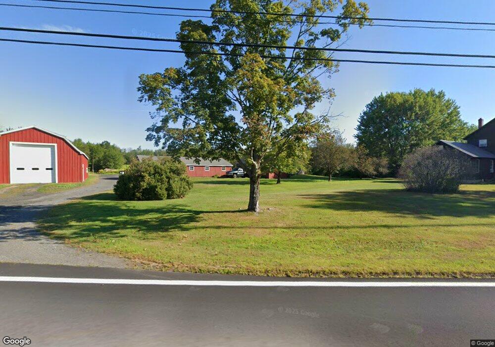
230 Spruce Corner Rd Ashfield, MA 01330
Ashfield Neighborhood
3
Beds
1
Bath
2,404
Sq Ft
535,440
Sq Ft Lot
About This Home
This home is located at 230 Spruce Corner Rd, Ashfield, MA 01330. 230 Spruce Corner Rd is a home located in Franklin County with nearby schools including Mohawk Trail Regional High School.
Ownership History
Date
Name
Owned For
Owner Type
Purchase Details
Closed on
Jun 20, 2024
Sold by
Gould Judith A and Gould Dennis A
Bought by
Judith A Gould Lt and Gould
Purchase Details
Closed on
Jan 30, 2009
Sold by
Gould Dennis A and Gould Judith A
Bought by
Gould Dennis A and Gould Judith A
Create a Home Valuation Report for This Property
The Home Valuation Report is an in-depth analysis detailing your home's value as well as a comparison with similar homes in the area
Home Values in the Area
Average Home Value in this Area
Purchase History
| Date | Buyer | Sale Price | Title Company |
|---|---|---|---|
| Judith A Gould Lt | -- | None Available | |
| Judith A Gould Lt | -- | None Available | |
| Gould Dennis A | -- | -- | |
| Gould Dennis A | -- | -- |
Source: Public Records
Mortgage History
| Date | Status | Borrower | Loan Amount |
|---|---|---|---|
| Previous Owner | Gould Dennis A | $55,000 |
Source: Public Records
Tax History
| Year | Tax Paid | Tax Assessment Tax Assessment Total Assessment is a certain percentage of the fair market value that is determined by local assessors to be the total taxable value of land and additions on the property. | Land | Improvement |
|---|---|---|---|---|
| 2025 | $6,364 | $472,800 | $108,300 | $364,500 |
| 2024 | $6,380 | $436,700 | $108,300 | $328,400 |
| 2023 | $6,313 | $358,500 | $88,400 | $270,100 |
| 2022 | $5,947 | $342,200 | $84,900 | $257,300 |
| 2021 | $5,521 | $333,600 | $84,900 | $248,700 |
| 2020 | $5,558 | $333,600 | $84,900 | $248,700 |
| 2019 | $5,072 | $295,600 | $82,100 | $213,500 |
| 2018 | $5,017 | $292,000 | $82,100 | $209,900 |
| 2017 | $4,467 | $275,400 | $81,200 | $194,200 |
| 2016 | $4,312 | $262,300 | $81,200 | $181,100 |
| 2015 | $4,189 | $262,300 | $81,200 | $181,100 |
| 2014 | $4,203 | $260,100 | $75,800 | $184,300 |
Source: Public Records
Map
Nearby Homes
- 40 Suburban Dr
- 220 Hawley Rd
- 527 Main St
- 0 John Ford Rd Unit 73403156
- 0 Sears Rd Unit 73373850
- 0 Spruce Corner Rd Unit 73244975
- 333 Ranney Corner Rd
- 311 Cummington Rd
- 240 Beldingville Rd
- 0 N Bear River Rd Unit 73485981
- 146 Berkshire Trail W
- 296 E Main St
- lot 1 Shelburne Falls Rd
- 0 Upper St
- 85 Dacey Rd
- 7 Hog Hollow Rd
- 0 Fuller Rd
- 11 S Chesterfield Rd
- 10 Maple St
- 39 Hawley St
- 211 Spruce Corner Rd
- 204 Spruce Corner Rd
- 253 Spruce Corner Rd
- 0 Stonewall Dr
- 199A Stonewall Dr
- 199C Stonewall Dr
- 118 Spruce Corner Rd
- 199E Stonewall Dr
- 199D Stonewall Dr
- 199H Stonewall Dr
- 436 Spruce Corner Rd
- 44 ACRES Spruce Corner
- 199J Stonewall Dr
- 896 Cape St
- 694 Suburban Dr
- 16 Maple Dr
- Lots 6&7 Spruce Corner Rd
- 295 Bug Hill Rd
- 441 Cape St
- 838 Cape St
Your Personal Tour Guide
Ask me questions while you tour the home.