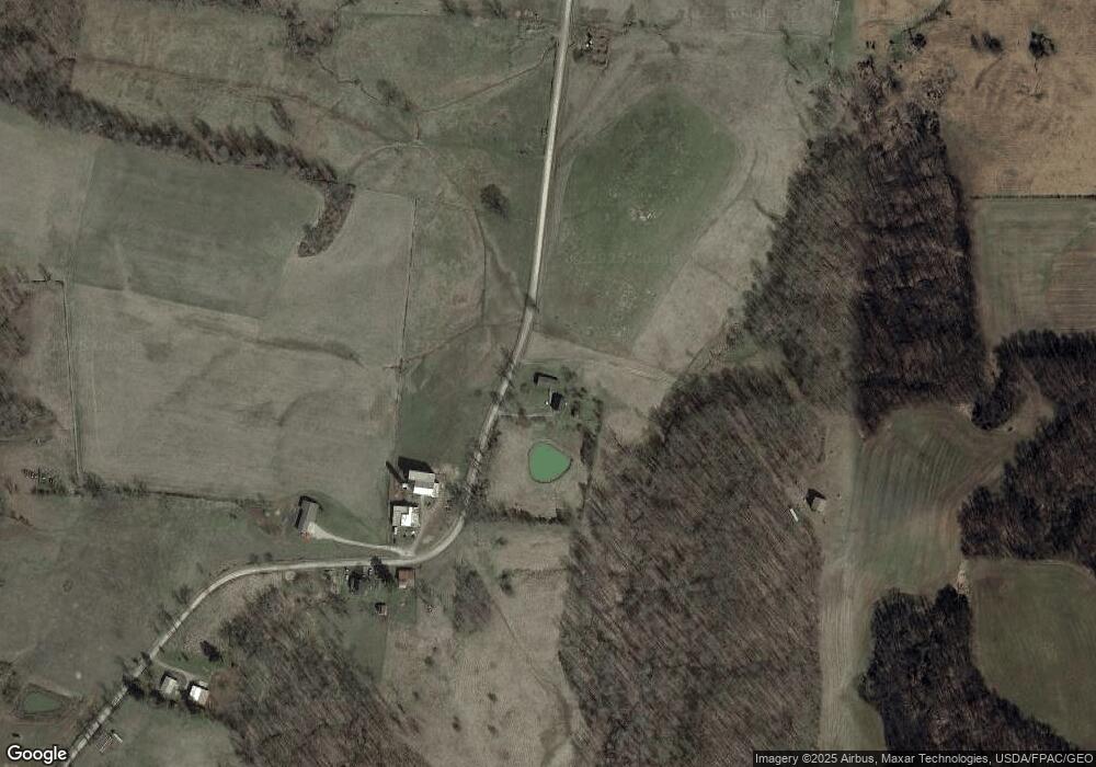
2300 Clark Rd Cutler, OH 45724
Estimated Value: $154,959 - $224,000
2
Beds
1
Bath
896
Sq Ft
$195/Sq Ft
Est. Value
About This Home
This home is located at 2300 Clark Rd, Cutler, OH 45724 and is currently estimated at $174,990, approximately $195 per square foot. 2300 Clark Rd is a home with nearby schools including Warren High School.
Ownership History
Date
Name
Owned For
Owner Type
Purchase Details
Closed on
Mar 18, 2021
Sold by
Clark Darcie J
Bought by
Allen Jason B and Allen Kendra
Current Estimated Value
Home Financials for this Owner
Home Financials are based on the most recent Mortgage that was taken out on this home.
Original Mortgage
$208,550
Interest Rate
2.7%
Mortgage Type
Future Advance Clause Open End Mortgage
Purchase Details
Closed on
Mar 22, 2011
Sold by
Mcglumphy Wesley
Bought by
Clark Darcie J and Mcglumphy Darcie
Purchase Details
Closed on
Feb 29, 2008
Sold by
Mcglumphy Wesley and Mcglumphy Darcie
Bought by
Mcglumphy Wesley
Create a Home Valuation Report for This Property
The Home Valuation Report is an in-depth analysis detailing your home's value as well as a comparison with similar homes in the area
Purchase History
| Date | Buyer | Sale Price | Title Company |
|---|---|---|---|
| Allen Jason B | $123,000 | Northwest Ttl Fam Companies | |
| Clark Darcie J | -- | None Available | |
| Mcglumphy Wesley | -- | Title First Marietta |
Source: Public Records
Mortgage History
| Date | Status | Borrower | Loan Amount |
|---|---|---|---|
| Closed | Allen Jason B | $208,550 |
Source: Public Records
Tax History Compared to Growth
Tax History
| Year | Tax Paid | Tax Assessment Tax Assessment Total Assessment is a certain percentage of the fair market value that is determined by local assessors to be the total taxable value of land and additions on the property. | Land | Improvement |
|---|---|---|---|---|
| 2024 | $1,043 | $30,880 | $7,790 | $23,090 |
| 2023 | $1,043 | $30,880 | $7,790 | $23,090 |
| 2022 | $1,038 | $30,880 | $7,790 | $23,090 |
| 2021 | $1,052 | $26,590 | $5,820 | $20,770 |
| 2020 | $1,051 | $26,590 | $5,820 | $20,770 |
| 2019 | $1,037 | $26,590 | $5,820 | $20,770 |
| 2018 | $919 | $22,890 | $4,850 | $18,040 |
| 2017 | $914 | $22,890 | $4,850 | $18,040 |
| 2016 | $1,131 | $22,890 | $4,850 | $18,040 |
| 2015 | $811 | $22,650 | $4,350 | $18,300 |
| 2014 | $1,132 | $22,650 | $4,350 | $18,300 |
| 2013 | $407 | $22,650 | $4,350 | $18,300 |
Source: Public Records
Map
Nearby Homes
- 11231 Ohio 555
- 11489 State Route 555
- 2620 Burnett Rd
- Lot 2 Shinn Rd
- 22775 Mayle Ridge Rd
- Lot 1 Shinn Rd
- 2207 Veto Rd
- 28 Mcgill Rd
- 232 Mcgill Rd
- 10270 Ohio 550
- 2500 Robert Kelly Rd
- 852 Wallace Rd
- 0 Layman Rd Unit 5162075
- 0 Layman Rd Unit 5162072
- 21750 Ohio 550
- 1015 Brackenridge Rd
- 0 Pugh Rd
- 435 Croston Rd
- 10507 Ohio 339
- 735 Timberline Dr
- 0 Clark Rd Unit 3957477
- 2161 Clark Rd
- 2134 Clark Rd
- 334 Union Cemetery Rd
- 572 Union Cemetery Rd Unit T7
- 2530 Clark Rd
- 3860 State Rt 676
- 1998 Clark Rd
- 190 Union Cemetery Rd
- 1900 Clark Rd
- 1911 T61
- 4498 Ohio 550
- 4498 State Route 550
- 2675 Clark Rd
- 1911 Clark Rd
- 1767 Clark Rd
- 4785 State Route 550
- 4477 State Route 550
- 4345 State Route 550
- 4285 State Route 550
