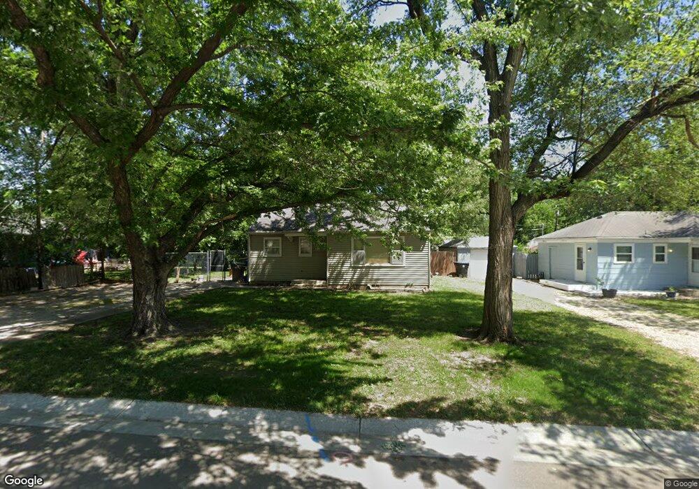
2300 SW Duncan Dr Topeka, KS 66614
West Topeka NeighborhoodEstimated Value: $89,000 - $126,000
2
Beds
1
Bath
708
Sq Ft
$144/Sq Ft
Est. Value
About This Home
This home is located at 2300 SW Duncan Dr, Topeka, KS 66614 and is currently estimated at $101,640, approximately $143 per square foot. 2300 SW Duncan Dr is a home located in Shawnee County with nearby schools including Whitson Elementary School, Marjorie French Middle School, and Topeka West High School.
Ownership History
Date
Name
Owned For
Owner Type
Purchase Details
Closed on
Aug 6, 2009
Sold by
Otto Douglas D and Otto Rhonda J
Bought by
Otto Robert N
Current Estimated Value
Home Financials for this Owner
Home Financials are based on the most recent Mortgage that was taken out on this home.
Original Mortgage
$55,500
Outstanding Balance
$36,609
Interest Rate
5.44%
Mortgage Type
New Conventional
Estimated Equity
$65,032
Purchase Details
Closed on
Feb 14, 2006
Sold by
Agm Enterprises Inc
Bought by
Otto Douglas D and Otto Rhonda J
Create a Home Valuation Report for This Property
The Home Valuation Report is an in-depth analysis detailing your home's value as well as a comparison with similar homes in the area
Home Values in the Area
Average Home Value in this Area
Purchase History
| Date | Buyer | Sale Price | Title Company |
|---|---|---|---|
| Otto Robert N | -- | Lawyers Title Of Topeka Inc | |
| Otto Douglas D | -- | Lawyears Title Of Topeka Inc |
Source: Public Records
Mortgage History
| Date | Status | Borrower | Loan Amount |
|---|---|---|---|
| Open | Otto Robert N | $55,500 |
Source: Public Records
Tax History Compared to Growth
Tax History
| Year | Tax Paid | Tax Assessment Tax Assessment Total Assessment is a certain percentage of the fair market value that is determined by local assessors to be the total taxable value of land and additions on the property. | Land | Improvement |
|---|---|---|---|---|
| 2025 | $1,169 | $9,729 | -- | -- |
| 2023 | $1,169 | $8,419 | $0 | $0 |
| 2022 | $1,050 | $7,385 | $0 | $0 |
| 2021 | $982 | $6,421 | $0 | $0 |
| 2020 | $913 | $6,058 | $0 | $0 |
| 2019 | $891 | $5,882 | $0 | $0 |
| 2018 | $892 | $5,882 | $0 | $0 |
| 2017 | $894 | $5,882 | $0 | $0 |
| 2014 | -- | $5,882 | $0 | $0 |
Source: Public Records
Map
Nearby Homes
- 2401 SW James St
- 2425 SW James St
- 3904 SW 26th St
- 2028 SW Stone Ave
- 2024 SW Stone Ave
- 4230 SW 19th St
- 1944 SW Quivira Dr
- 4008 SW 28th Terrace
- 2012 SW Westwood Dr
- 2401 SW Crest Dr
- 2124 SW Meadow Ln
- 4426 SW 29th Terrace
- 4221 SW 17th St
- 2914 SW Lydia Ave
- 4300 SW 30th St
- 3002 SW Lydia Ave
- 1625 SW Lakeside Dr
- 5312 SW 23rd St
- 4200 SW Stratford Rd
- 5324 SW 24th St
- 2304 SW Duncan Dr
- 4213 SW 23rd St
- 4207 SW 23rd St
- 2308 SW Duncan Dr
- 2309 SW Seabrook Ave
- 2301 SW Duncan Dr
- 4201 SW 23rd St
- 2313 SW Seabrook Ave
- 2312 SW Duncan Dr
- 2305 SW Duncan Dr
- 2309 SW Duncan Dr
- 4300 SW 23rd St
- 4216 SW 23rd St
- 4307 SW 23rd St
- 4304 SW 23rd St
- 2317 SW Seabrook Ave
- 4212 SW 23rd St
- 2316 SW Duncan Dr
- 4308 SW 23rd St
- 4308 SW 23rd St