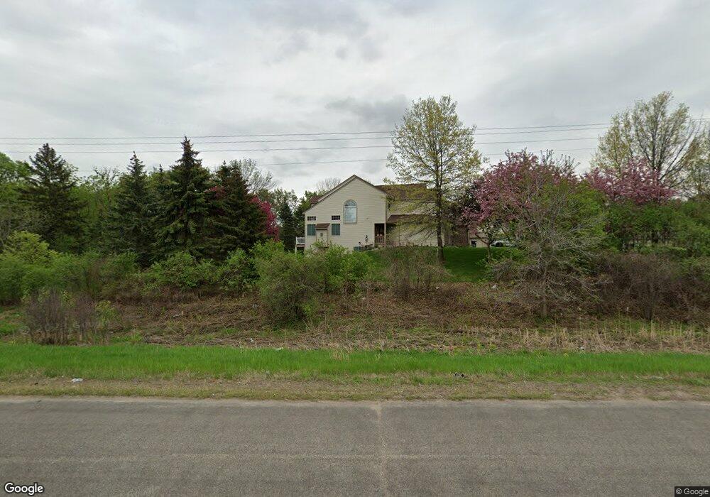
2301 Highway 13 E Burnsville, MN 55337
Estimated Value: $406,000 - $496,779
4
Beds
2
Baths
1,888
Sq Ft
$236/Sq Ft
Est. Value
About This Home
This home is located at 2301 Highway 13 E, Burnsville, MN 55337 and is currently estimated at $444,695, approximately $235 per square foot. 2301 Highway 13 E is a home located in Dakota County with nearby schools including William Byrne Elementary School, Burnsville High School, and Gateway STEM Academy.
Ownership History
Date
Name
Owned For
Owner Type
Purchase Details
Closed on
May 17, 2017
Sold by
Berendt Joyce R
Bought by
Berendt Joyce R and Joyce R Berendt Revocable Trust
Current Estimated Value
Purchase Details
Closed on
Nov 30, 1988
Sold by
Driscoll Herbert F
Bought by
Berendt Joyce R and Lemke Christine E
Create a Home Valuation Report for This Property
The Home Valuation Report is an in-depth analysis detailing your home's value as well as a comparison with similar homes in the area
Home Values in the Area
Average Home Value in this Area
Purchase History
| Date | Buyer | Sale Price | Title Company |
|---|---|---|---|
| Berendt Joyce R | -- | None Available | |
| Berendt Joyce R | $113,200 | -- |
Source: Public Records
Mortgage History
| Date | Status | Borrower | Loan Amount |
|---|---|---|---|
| Closed | Berendt Joyce R | -- |
Source: Public Records
Tax History Compared to Growth
Tax History
| Year | Tax Paid | Tax Assessment Tax Assessment Total Assessment is a certain percentage of the fair market value that is determined by local assessors to be the total taxable value of land and additions on the property. | Land | Improvement |
|---|---|---|---|---|
| 2024 | $4,748 | $451,100 | $174,700 | $276,400 |
| 2023 | $4,748 | $451,100 | $174,900 | $276,200 |
| 2022 | $3,424 | $391,600 | $174,400 | $217,200 |
| 2021 | $3,208 | $324,400 | $151,700 | $172,700 |
| 2020 | $3,272 | $291,000 | $144,500 | $146,500 |
| 2019 | $3,460 | $286,300 | $137,600 | $148,700 |
| 2018 | $3,435 | $272,300 | $131,000 | $141,300 |
| 2017 | $3,089 | $257,200 | $124,800 | $132,400 |
| 2016 | $3,132 | $248,400 | $118,900 | $129,500 |
| 2015 | $2,869 | $226,867 | $108,050 | $118,817 |
| 2014 | -- | $216,730 | $105,295 | $111,435 |
| 2013 | -- | $198,309 | $95,163 | $103,146 |
Source: Public Records
Map
Nearby Homes
- 2200 Horizon Rd
- 11900 Highland View Cir
- 1853 Riverwood Dr Unit 4
- 1800 Riverwood Dr Unit 110
- 1800 Riverwood Dr Unit 323
- 11921 Baypoint Dr
- 11902 River Hills Cir
- 1609 Riverwood Dr
- 2005 E 122nd St Unit A7
- 2005 E 122nd St Unit A14
- 2005 E 122nd St Unit A23
- 3017 Mcleod St
- 2011 E 122nd St Unit D24
- 2009 E 122nd St Unit C8
- 12232 Oak Leaf Cir
- 2007 E 122nd St Unit B15
- 3309 Red Oak Cir N
- 2329 Explorer Ct
- 11311 W River Hills Dr
- 2300 Villaburne Ct W
- 2301 Highway 13 E
- 2301 Highway 13 E
- 2301 Highway 13 E
- 2408 Horizon Rd
- 2304 Horizon Rd
- 2300 Horizon Cir
- 2412 Horizon Rd
- 1575 10670 Hawthorn Trail W
- 2208 Horizon Cir
- 2202 Horizon Rd
- 11785 Millpond Ave
- 11783 Millpond Ave Unit 103
- 2413 Horizon Rd
- 11781 Millpond Ave Unit 104
- 2201 Horizon Rd
- 2501 Highland View Ln
- 11779 Millpond Ave Unit 105
- 11777 Millpond Ave Unit 106
- 11769 Millpond Ave Unit 98
- 2409 Horizon Rd