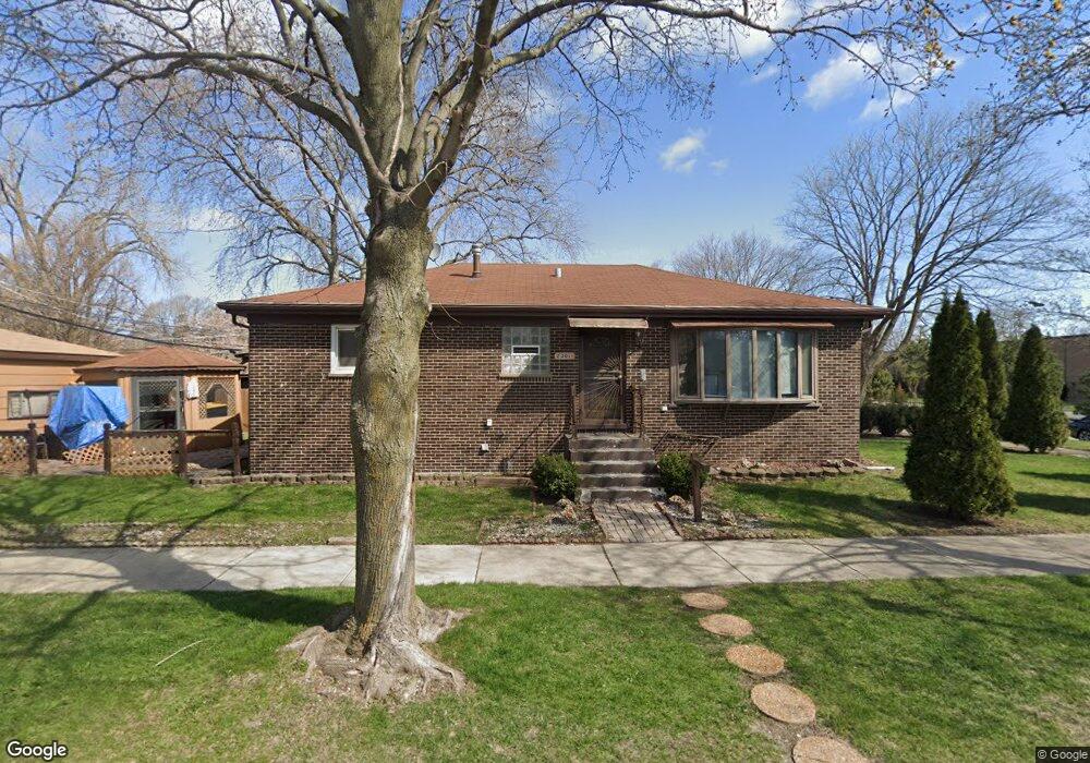
2301 Nathaniel Place Evanston, IL 60202
West End NeighborhoodEstimated Value: $390,000 - $440,000
3
Beds
2
Baths
1,118
Sq Ft
$371/Sq Ft
Est. Value
About This Home
This home is located at 2301 Nathaniel Place, Evanston, IL 60202 and is currently estimated at $414,595, approximately $370 per square foot. 2301 Nathaniel Place is a home located in Cook County with nearby schools including Walker Elementary School, Chute Middle School, and Evanston Township High School.
Ownership History
Date
Name
Owned For
Owner Type
Purchase Details
Closed on
Mar 23, 2022
Sold by
Foster Edith P and The Estate Of Edith Foster
Bought by
Foster Steven and Foster Y
Current Estimated Value
Create a Home Valuation Report for This Property
The Home Valuation Report is an in-depth analysis detailing your home's value as well as a comparison with similar homes in the area
Home Values in the Area
Average Home Value in this Area
Purchase History
| Date | Buyer | Sale Price | Title Company |
|---|---|---|---|
| Foster Steven | -- | None Listed On Document |
Source: Public Records
Tax History Compared to Growth
Tax History
| Year | Tax Paid | Tax Assessment Tax Assessment Total Assessment is a certain percentage of the fair market value that is determined by local assessors to be the total taxable value of land and additions on the property. | Land | Improvement |
|---|---|---|---|---|
| 2024 | $7,113 | $29,000 | $6,103 | $22,897 |
| 2023 | $6,823 | $29,000 | $6,103 | $22,897 |
| 2022 | $6,823 | $29,000 | $6,103 | $22,897 |
| 2021 | $6,627 | $24,641 | $4,323 | $20,318 |
| 2020 | $6,537 | $24,641 | $4,323 | $20,318 |
| 2019 | $3,093 | $27,471 | $4,323 | $23,148 |
| 2018 | $4,774 | $24,066 | $3,560 | $20,506 |
| 2017 | $4,681 | $24,066 | $3,560 | $20,506 |
| 2016 | $2,643 | $24,066 | $3,560 | $20,506 |
| 2015 | $2,946 | $21,037 | $3,051 | $17,986 |
| 2014 | $2,857 | $21,037 | $3,051 | $17,986 |
| 2013 | $2,857 | $21,037 | $3,051 | $17,986 |
Source: Public Records
Map
Nearby Homes
- 2321 Lee St
- 930 Pitner Ave Unit 3
- 1133 Dodge Ave
- 1402 Fowler Ave
- 8613 Trumbull Ave
- 1216 Darrow Ave
- 722 Brown Ave
- 1810 Washington St
- 8728 Trumbull Ave
- 3453 Main St
- 3457 Main St
- 1810 Monroe St
- 8713 Drake Ave
- 8450 Drake Ave
- 1723 Greenwood St
- 1610 Washington St
- 604 Dodge Ave
- 1916 Keeney St
- 1927 Warren St
- 8822 Central Park Ave
- 1030 Pitner Ave
- 1036 Pitner Ave
- 2313 Nathaniel Place
- 2300 Nathaniel Place
- 1040 Pitner Ave
- 2317 Nathaniel Place
- 1018 Pitner Ave
- 2319 Nathaniel Place
- 2312 Nathaniel Place
- 1042 Pitner Ave
- 1012 Pitner Ave
- 2312 Greenleaf St
- 2323 Nathaniel Place
- 2318 Nathaniel Place
- 1044 Pitner Ave
- 2314 Greenleaf St
- 1010 Pitner Ave
- 2325 Nathaniel Place
- 2322 Nathaniel Place
- 2320 Greenleaf St