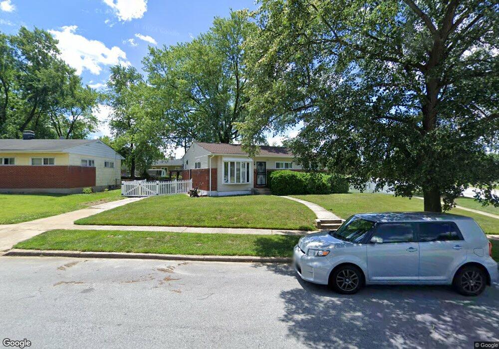
2301 Westfield Ave Baltimore, MD 21214
Hamilton Hills NeighborhoodEstimated Value: $213,865 - $258,000
--
Bed
1
Bath
1,080
Sq Ft
$218/Sq Ft
Est. Value
About This Home
This home is located at 2301 Westfield Ave, Baltimore, MD 21214 and is currently estimated at $235,933, approximately $218 per square foot. 2301 Westfield Ave is a home located in Baltimore City with nearby schools including Hamilton Elementary Middle School, Booker T. Washington Middle School, and Paul Laurence Dunbar High School.
Ownership History
Date
Name
Owned For
Owner Type
Purchase Details
Closed on
Jan 31, 2017
Bought by
Norris Raymond and Norris Karen
Current Estimated Value
Home Financials for this Owner
Home Financials are based on the most recent Mortgage that was taken out on this home.
Original Mortgage
$131,975
Outstanding Balance
$109,239
Interest Rate
4.19%
Estimated Equity
$126,694
Create a Home Valuation Report for This Property
The Home Valuation Report is an in-depth analysis detailing your home's value as well as a comparison with similar homes in the area
Home Values in the Area
Average Home Value in this Area
Purchase History
| Date | Buyer | Sale Price | Title Company |
|---|---|---|---|
| Norris Raymond | -- | -- |
Source: Public Records
Mortgage History
| Date | Status | Borrower | Loan Amount |
|---|---|---|---|
| Open | Norris Raymond | $131,975 | |
| Closed | Norris Raymond | -- |
Source: Public Records
Tax History Compared to Growth
Tax History
| Year | Tax Paid | Tax Assessment Tax Assessment Total Assessment is a certain percentage of the fair market value that is determined by local assessors to be the total taxable value of land and additions on the property. | Land | Improvement |
|---|---|---|---|---|
| 2025 | $3,379 | $161,267 | -- | -- |
| 2024 | $3,379 | $155,300 | $51,400 | $103,900 |
| 2023 | $3,335 | $153,800 | $0 | $0 |
| 2022 | $3,306 | $152,300 | $0 | $0 |
| 2021 | $3,559 | $150,800 | $51,400 | $99,400 |
| 2020 | $3,157 | $145,700 | $0 | $0 |
| 2019 | $3,021 | $140,600 | $0 | $0 |
| 2018 | $2,988 | $135,500 | $51,400 | $84,100 |
| 2017 | $3,014 | $135,500 | $0 | $0 |
| 2016 | $2,601 | $135,500 | $0 | $0 |
| 2015 | $2,601 | $147,000 | $0 | $0 |
| 2014 | $2,601 | $147,000 | $0 | $0 |
Source: Public Records
Map
Nearby Homes
- 2221 Walshire Ave
- 2210 Walshire Ave
- 6229 Pilgrim Rd
- 6210 Pilgrim Rd
- 2210 Cloville Ave
- 6407 Fernbank Ave
- 6331 Pioneer Dr
- 2412 Pinewood Ave
- 2405 E Northern Pkwy
- 6405 Birchwood Ave
- 5625 Pioneer Dr
- 6419 Marietta Ave
- 2600 Roselawn Ave
- 5518 Pioneer Dr
- 5507 Plymouth Rd
- 5505 Tramore Rd
- 2821 Hemlock Ave
- 2810 Roselawn Ave
- 2715 Bayonne Ave
- 6110 Old Harford Rd
- 2303 Westfield Ave
- 6309 Mcclean Blvd
- 2300 Walshire Ave
- 2305 Westfield Ave
- 6308 Mcclean Blvd
- 2302 Walshire Ave
- 2230 Westfield Ave
- 6307 Mcclean Blvd
- 6308 Tramore Rd
- 6306 Mcclean Blvd
- 6306 Tramore Rd
- 2301 Walshire Ave
- 2228 Westfield Ave
- 2303 Walshire Ave
- 6402 Mcclean Blvd
- 6304 Mcclean Blvd
- 6304 Tramore Rd
- 2225 Westfield Ave
- 6305 Mcclean Blvd
- 2226 Westfield Ave