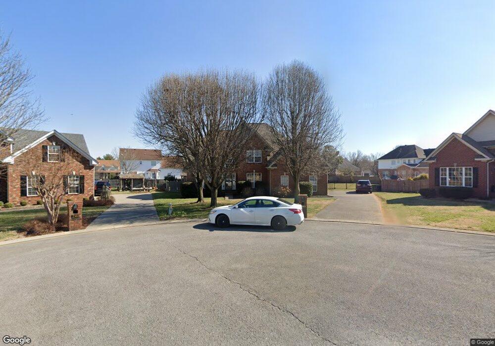
2303 Katie Ct Murfreesboro, TN 37128
Estimated Value: $475,345 - $567,000
--
Bed
4
Baths
2,687
Sq Ft
$193/Sq Ft
Est. Value
About This Home
This home is located at 2303 Katie Ct, Murfreesboro, TN 37128 and is currently estimated at $519,336, approximately $193 per square foot. 2303 Katie Ct is a home located in Rutherford County with nearby schools including Cason Lane Academy, Rockvale Middle School, and Rockvale High School.
Ownership History
Date
Name
Owned For
Owner Type
Purchase Details
Closed on
Mar 31, 2003
Sold by
Sonda Cozart
Bought by
Long Daniel K and Long Sonda B
Current Estimated Value
Purchase Details
Closed on
Dec 5, 1997
Sold by
Bolen Bruce A and Bolen Danielle
Bought by
Cozart Todd L
Home Financials for this Owner
Home Financials are based on the most recent Mortgage that was taken out on this home.
Original Mortgage
$180,400
Interest Rate
7.26%
Create a Home Valuation Report for This Property
The Home Valuation Report is an in-depth analysis detailing your home's value as well as a comparison with similar homes in the area
Home Values in the Area
Average Home Value in this Area
Purchase History
| Date | Buyer | Sale Price | Title Company |
|---|---|---|---|
| Long Daniel K | -- | -- | |
| Cozart Todd L | $189,900 | -- |
Source: Public Records
Mortgage History
| Date | Status | Borrower | Loan Amount |
|---|---|---|---|
| Previous Owner | Cozart Todd L | $180,400 |
Source: Public Records
Tax History Compared to Growth
Tax History
| Year | Tax Paid | Tax Assessment Tax Assessment Total Assessment is a certain percentage of the fair market value that is determined by local assessors to be the total taxable value of land and additions on the property. | Land | Improvement |
|---|---|---|---|---|
| 2025 | $2,927 | $103,475 | $13,750 | $89,725 |
| 2024 | $2,927 | $103,475 | $13,750 | $89,725 |
| 2023 | $1,941 | $103,475 | $13,750 | $89,725 |
| 2022 | $1,672 | $103,475 | $13,750 | $89,725 |
| 2021 | $1,554 | $70,025 | $11,250 | $58,775 |
| 2020 | $1,554 | $70,025 | $11,250 | $58,775 |
| 2019 | $1,554 | $70,025 | $11,250 | $58,775 |
| 2018 | $2,135 | $70,025 | $0 | $0 |
| 2017 | $2,164 | $55,675 | $0 | $0 |
| 2016 | $2,164 | $55,675 | $0 | $0 |
| 2015 | $2,164 | $55,675 | $0 | $0 |
| 2014 | $1,384 | $55,675 | $0 | $0 |
| 2013 | -- | $56,425 | $0 | $0 |
Source: Public Records
Map
Nearby Homes
- 2307 Katie Ct
- 1710 Locerbie Dr
- 1823 Joben Dr
- 2311 Sunland Ct
- 2326 Amber Glen Dr
- 1421 Rebecca Johns Dr
- 1442 Rebecca Johns Dr Unit V20
- 1905 Judson Johns Ct
- 1450 Rebecca Johns Dr
- 2818 Windemere Dr
- 1725 Satterfield Ct
- 2319 Amber Glen Dr
- 1518 Saint Andrews Dr
- 1465 Ovaldale Dr
- 1417 Ovaldale Dr
- 3116 Mapleside Ln
- 3217 Mapleside Ln
- 2611 Linden Ln
- 1652 Saint Andrews Dr
- 2339 Shafer Dr
- 2302 Katie Ct
- 1822 Azure Way
- 1818 Azure Way
- 2312 Molly Trail
- 2316 Molly Trail
- 1814 Azure Way
- 2308 Molly Trail
- 1717 Benjamin Dr
- 2306 Katie Ct
- 1711 Benjamin Dr
- 2320 Molly Trail
- 1810 Azure Way
- 1819 Azure Way
- 1823 Azure Way
- 1707 Benjamin Dr
- 1815 Azure Way
- 2315 Molly Trail
- 2443 Amber Glen Dr
- 1806 Azure Way
- 1827 Azure Way