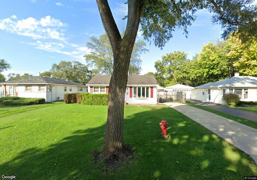
2303 Robin Ln Rolling Meadows, IL 60008
Estimated Value: $321,983 - $362,000
3
Beds
2
Baths
1,242
Sq Ft
$276/Sq Ft
Est. Value
About This Home
This home is located at 2303 Robin Ln, Rolling Meadows, IL 60008 and is currently estimated at $342,496, approximately $275 per square foot. 2303 Robin Ln is a home located in Cook County with nearby schools including Kimball Hill Elementary School, Carl Sandburg Junior High School, and Rolling Meadows High School.
Ownership History
Date
Name
Owned For
Owner Type
Purchase Details
Closed on
Jul 17, 2014
Sold by
Bauer Kevin M
Bought by
Oxford B & T Tr 1432
Current Estimated Value
Create a Home Valuation Report for This Property
The Home Valuation Report is an in-depth analysis detailing your home's value as well as a comparison with similar homes in the area
Home Values in the Area
Average Home Value in this Area
Purchase History
| Date | Buyer | Sale Price | Title Company |
|---|---|---|---|
| Oxford B & T Tr 1432 | -- | -- | |
| Oxford B & T Tr 1432 | -- | -- | |
| Oxford B & T Tr 1432 | -- | -- |
Source: Public Records
Tax History
| Year | Tax Paid | Tax Assessment Tax Assessment Total Assessment is a certain percentage of the fair market value that is determined by local assessors to be the total taxable value of land and additions on the property. | Land | Improvement |
|---|---|---|---|---|
| 2025 | $6,131 | $30,000 | $4,836 | $25,164 |
| 2024 | $6,131 | $23,318 | $4,092 | $19,226 |
| 2023 | $5,840 | $23,318 | $4,092 | $19,226 |
| 2022 | $5,840 | $23,318 | $4,092 | $19,226 |
| 2021 | $4,880 | $18,067 | $2,418 | $15,649 |
| 2020 | $4,839 | $18,067 | $2,418 | $15,649 |
| 2019 | $5,533 | $22,448 | $2,418 | $20,030 |
| 2018 | $4,973 | $18,788 | $2,232 | $16,556 |
| 2017 | $4,891 | $18,788 | $2,232 | $16,556 |
| 2016 | $4,816 | $18,788 | $2,232 | $16,556 |
| 2015 | $4,546 | $17,062 | $2,046 | $15,016 |
| 2014 | $4,454 | $17,062 | $2,046 | $15,016 |
| 2013 | $4,329 | $17,062 | $2,046 | $15,016 |
Source: Public Records
Map
Nearby Homes
- 2302 Flicker Ln
- 2401 Rohlwing Rd
- 3806 Ashley Ct
- 2814 Cardinal Dr
- 2600 Brookwood Way Dr Unit 316
- 2650 Brookwood Way Dr Unit 313
- 2650 Brookwood Way Dr Unit 203
- 2650 Brookwood Way Dr Unit 108
- 3265 Kirchoff Rd Unit 116
- 3100 Town Square Dr Unit 308
- 3100 Town Square Dr Unit 204
- 3107 Falcon Ct W
- 3135 Town Square Dr Unit 401
- 3135 Town Square Dr Unit 104
- 2705 Park St
- 3306 Trillium Cir Unit 3001
- 3 Holyoke on Auburn
- 2709 Lily Ln
- 4406 Euclid Ave Unit 2C
- 2 Croydon on Duxbury
Your Personal Tour Guide
Ask me questions while you tour the home.