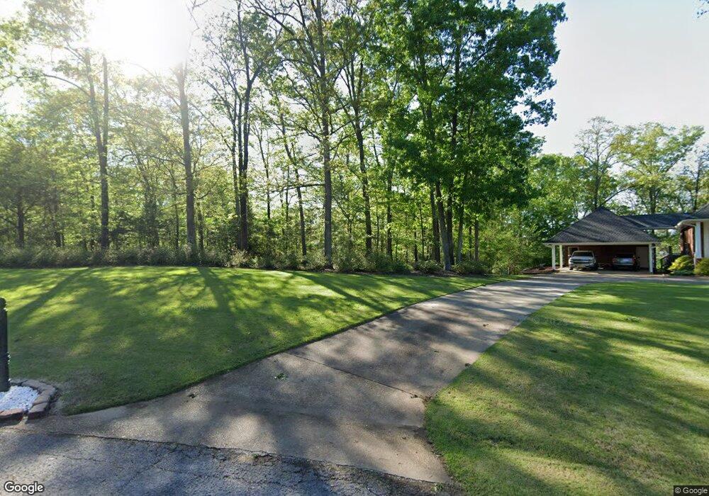
2305 Dogwood Dr West Point, MS 39773
Estimated Value: $219,000 - $468,000
3
Beds
--
Bath
3,772
Sq Ft
$98/Sq Ft
Est. Value
About This Home
This home is located at 2305 Dogwood Dr, West Point, MS 39773 and is currently estimated at $370,701, approximately $98 per square foot. 2305 Dogwood Dr is a home located in Clay County with nearby schools including East Side Elementary School, West Clay Elementary School, and Church Hill Elementary School.
Ownership History
Date
Name
Owned For
Owner Type
Purchase Details
Closed on
Dec 14, 2021
Sold by
Coleman Eunice A
Bought by
Stubbs Howard T and Stubbs Sue Ellen
Current Estimated Value
Home Financials for this Owner
Home Financials are based on the most recent Mortgage that was taken out on this home.
Original Mortgage
$388,550
Outstanding Balance
$358,097
Interest Rate
3.11%
Mortgage Type
New Conventional
Estimated Equity
-$49,071
Purchase Details
Closed on
Jun 8, 2020
Sold by
Weimer Jack R and Weimer Ginger S
Bought by
Coleman Eunice A
Create a Home Valuation Report for This Property
The Home Valuation Report is an in-depth analysis detailing your home's value as well as a comparison with similar homes in the area
Home Values in the Area
Average Home Value in this Area
Purchase History
| Date | Buyer | Sale Price | Title Company |
|---|---|---|---|
| Stubbs Howard T | -- | Mcnutt Mitchell | |
| Stubbs Howard T | -- | None Listed On Document | |
| Coleman Eunice A | -- | -- |
Source: Public Records
Mortgage History
| Date | Status | Borrower | Loan Amount |
|---|---|---|---|
| Open | Stubbs Howard T | $388,550 | |
| Closed | Stubbs Howard T | $388,550 |
Source: Public Records
Tax History Compared to Growth
Tax History
| Year | Tax Paid | Tax Assessment Tax Assessment Total Assessment is a certain percentage of the fair market value that is determined by local assessors to be the total taxable value of land and additions on the property. | Land | Improvement |
|---|---|---|---|---|
| 2024 | $1,222 | $29,228 | $3,000 | $26,228 |
| 2023 | $2,466 | $29,228 | $3,000 | $26,228 |
| 2022 | $1,202 | $29,228 | $3,000 | $26,228 |
| 2021 | $1,201 | $29,228 | $3,000 | $26,228 |
| 2020 | $1,465 | $29,228 | $3,000 | $26,228 |
| 2019 | $1,374 | $28,989 | $3,000 | $25,989 |
| 2018 | $1,312 | $28,989 | $3,000 | $25,989 |
| 2017 | $1,312 | $28,989 | $3,000 | $25,989 |
| 2016 | $1,261 | $28,989 | $3,000 | $25,989 |
| 2015 | $1,187 | $26,544 | $3,000 | $23,544 |
| 2014 | $1,074 | $26,544 | $3,000 | $23,544 |
| 2013 | $1,074 | $26,544 | $3,000 | $23,544 |
Source: Public Records
Map
Nearby Homes
- 0 Dogwood Dr
- 84 Waverly Dr
- 0 Dogwood Dr (Lot 14) Unit 24-277
- 0 Dogwood Dr (Lot 20) Unit 24-278
- 0 Dogwood Dr (Lot 21) Unit 24-279
- 145 Waverly Dr
- 223 Waverly Dr
- 207 Country Club Dr
- 249 Waverly Dr
- 0 Waverly Dr
- 64 Waverly Dr
- Lot 31 Waverly Dr
- 21 Shadowlawn Cove
- 28 Shadowlawn Cove
- 645 Waverly Dr
- 0 Clisby Rd
- 714 Herman Shirley Rd
- 12 Clisby Rd
- 6 Clisby Rd
- 4 Clisby Rd
- 2144 Dogwood Dr
- 2096 Dogwood Dr
- 2505 Dogwood Dr
- 2001 Jasmine Dr
- 2510 Wisteria Dr
- 2004 Jasmine Dr
- 2350 Dogwood Dr
- 2212 Dogwood Dr
- 2206 Dogwood Dr
- 103 Dogwood Dr
- 2203 Dogwood Dr
- 2271 Dogwood Dr
- 2512 Wisteria Dr
- 2258 Dogwood Dr
- 2200 Dogwood Dr
- 36 Waverly Dr
- 56 Waverly Dr
- 3341 Waverly Rd
- 2218 Dogwood Dr
- 2217 Dogwood Dr