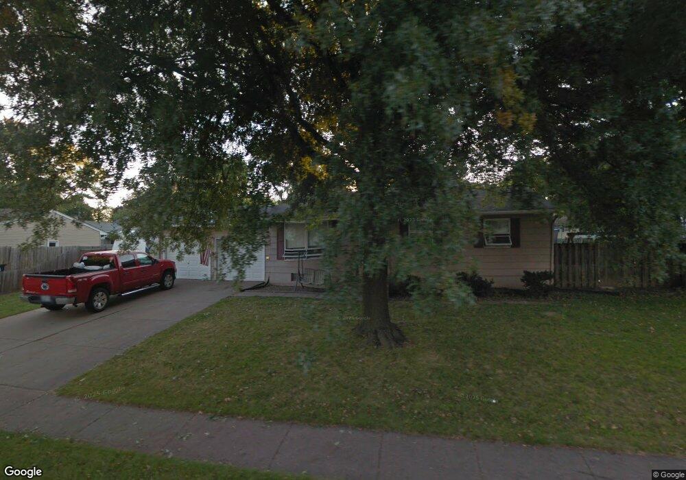
2305 N Clark St Davenport, IA 52804
Northwest Davenport NeighborhoodEstimated Value: $161,000 - $185,000
4
Beds
2
Baths
1,008
Sq Ft
$175/Sq Ft
Est. Value
About This Home
This home is located at 2305 N Clark St, Davenport, IA 52804 and is currently estimated at $176,115, approximately $174 per square foot. 2305 N Clark St is a home located in Scott County with nearby schools including Wilson Elementary School, Williams Intermediate School, and West High School.
Ownership History
Date
Name
Owned For
Owner Type
Purchase Details
Closed on
Apr 27, 2009
Sold by
Corry Michael H
Bought by
Corry Michael H and Corry Meggie B
Current Estimated Value
Home Financials for this Owner
Home Financials are based on the most recent Mortgage that was taken out on this home.
Original Mortgage
$106,459
Outstanding Balance
$66,973
Interest Rate
4.85%
Mortgage Type
VA
Estimated Equity
$109,142
Purchase Details
Closed on
Mar 22, 2006
Sold by
Drapeaux Mary and Drapeaux Mary J
Bought by
Corry Michael H
Home Financials for this Owner
Home Financials are based on the most recent Mortgage that was taken out on this home.
Original Mortgage
$104,703
Interest Rate
6.33%
Mortgage Type
New Conventional
Create a Home Valuation Report for This Property
The Home Valuation Report is an in-depth analysis detailing your home's value as well as a comparison with similar homes in the area
Home Values in the Area
Average Home Value in this Area
Purchase History
| Date | Buyer | Sale Price | Title Company |
|---|---|---|---|
| Corry Michael H | -- | None Available | |
| Corry Michael H | $102,500 | None Available |
Source: Public Records
Mortgage History
| Date | Status | Borrower | Loan Amount |
|---|---|---|---|
| Open | Corry Michael H | $106,459 | |
| Closed | Corry Michael H | $104,703 |
Source: Public Records
Tax History Compared to Growth
Tax History
| Year | Tax Paid | Tax Assessment Tax Assessment Total Assessment is a certain percentage of the fair market value that is determined by local assessors to be the total taxable value of land and additions on the property. | Land | Improvement |
|---|---|---|---|---|
| 2025 | $3,006 | $173,090 | $33,590 | $139,500 |
| 2024 | $2,932 | $168,160 | $33,590 | $134,570 |
| 2023 | $2,960 | $168,160 | $33,590 | $134,570 |
| 2022 | $2,872 | $138,590 | $25,590 | $113,000 |
| 2021 | $2,872 | $133,880 | $25,590 | $108,290 |
| 2020 | $2,762 | $133,880 | $25,590 | $108,290 |
| 2019 | $2,500 | $111,460 | $25,590 | $85,870 |
| 2018 | $428 | $111,460 | $25,590 | $85,870 |
| 2017 | $597 | $107,370 | $25,590 | $81,780 |
| 2016 | $2,352 | $107,370 | $0 | $0 |
| 2015 | $2,352 | $108,660 | $0 | $0 |
| 2014 | $2,414 | $108,660 | $0 | $0 |
| 2013 | $2,372 | $0 | $0 | $0 |
| 2012 | -- | $110,440 | $28,200 | $82,240 |
Source: Public Records
Map
Nearby Homes
- 2314 N Birchwood Ave
- 2225 N Ohio Ave
- 2653 N Elsie Ave
- 2109 N Michigan Ave
- 3234 Heatherton Dr Unit 6
- 2012 N Ohio Ave
- 3240 Heatherton Dr
- 2827 N Elsie Ave Unit 6
- 3430 W Locust St
- 3217 W 18th St
- 2110 N Fairmount St
- 2035 N Gayman Ave
- 3518 W Garfield St
- 3549 W Garfield St
- 2325 N Zenith Ave
- 0 W Locust St Unit 23235762
- 0 W Locust St Unit RMAQC4262317
- 0 W Locust St Unit NOC6326699
- 3823 W Lombard St
- 2015 N Zenith Ave
- 3112 W Rusholme St
- 2319 N Clark St
- 3204 W Rusholme St
- 3106 W Rusholme St
- 3115 W Denison Ave
- 3115 W Rusholme St
- 2318 N Clark St
- 2223 N Clark St
- 3109 W Rusholme St
- 3109 W Denison Ave
- 3210 W Rusholme St
- 3026 W Rusholme St
- 3211 W Denison Ave
- 3103 W Rusholme St
- 3103 W Denison Ave
- 3021 W Rusholme St
- 3218 W Rusholme St
- 3219 W Denison Ave
- 3018 W Rusholme St
- 3211 W Rusholme St