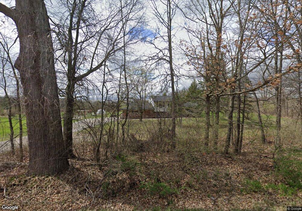
2305 N Latson Rd Howell, MI 48855
Estimated Value: $332,000 - $489,000
3
Beds
2
Baths
1,520
Sq Ft
$255/Sq Ft
Est. Value
About This Home
This home is located at 2305 N Latson Rd, Howell, MI 48855 and is currently estimated at $387,456, approximately $254 per square foot. 2305 N Latson Rd is a home located in Livingston County with nearby schools including Ruahmah J. Hutchings Elementary, Highlander Way Middle School, and Howell High School.
Ownership History
Date
Name
Owned For
Owner Type
Purchase Details
Closed on
Sep 2, 2022
Sold by
Joann Barnard
Bought by
Barnard Richard
Current Estimated Value
Home Financials for this Owner
Home Financials are based on the most recent Mortgage that was taken out on this home.
Original Mortgage
$244,200
Outstanding Balance
$233,398
Interest Rate
5.3%
Mortgage Type
FHA
Estimated Equity
$154,058
Purchase Details
Closed on
Nov 3, 2015
Sold by
Barnard Joann M and Barnard Richard H
Bought by
Barnard Joann M and Barnard Christine L
Create a Home Valuation Report for This Property
The Home Valuation Report is an in-depth analysis detailing your home's value as well as a comparison with similar homes in the area
Home Values in the Area
Average Home Value in this Area
Purchase History
| Date | Buyer | Sale Price | Title Company |
|---|---|---|---|
| Barnard Richard | $300,000 | -- | |
| Barnard Joann M | -- | None Available |
Source: Public Records
Mortgage History
| Date | Status | Borrower | Loan Amount |
|---|---|---|---|
| Open | Barnard Richard | $244,200 |
Source: Public Records
Tax History Compared to Growth
Tax History
| Year | Tax Paid | Tax Assessment Tax Assessment Total Assessment is a certain percentage of the fair market value that is determined by local assessors to be the total taxable value of land and additions on the property. | Land | Improvement |
|---|---|---|---|---|
| 2025 | $2,180 | $138,800 | $0 | $0 |
| 2024 | $1,401 | $131,200 | $0 | $0 |
| 2023 | $1,254 | $118,100 | $0 | $0 |
| 2022 | $577 | $98,500 | $0 | $0 |
| 2021 | $1,737 | $104,100 | $0 | $0 |
| 2020 | $1,757 | $98,500 | $0 | $0 |
| 2019 | $1,732 | $91,400 | $0 | $0 |
| 2018 | $1,712 | $85,000 | $0 | $0 |
| 2017 | $1,688 | $83,400 | $0 | $0 |
| 2016 | $1,679 | $80,900 | $0 | $0 |
| 2014 | $1,610 | $69,200 | $0 | $0 |
| 2012 | $1,610 | $66,200 | $0 | $0 |
Source: Public Records
Map
Nearby Homes
- 4059 Ash Tree Ln
- 1815 Gulley Rd
- The Bloomington Plan at Broadmoor
- The Charlotte Plan at Broadmoor
- The Harrison Plan at Broadmoor
- The Austin Plan at Broadmoor
- The Columbia Plan at Broadmoor
- 607 Cannonade Loop
- 458 Cannonade Loop
- 475 Cannonade Loop
- 559 Cannonade Loop
- 487 Cannonade Loop
- 507 Cannonade Loop
- 530 Cannonade Loop
- 2381 N Hughes Rd
- 0 Eager Unit 289246
- 3765 Silver Charm Ln
- 1282 Callaway Ct Unit 142
- 1471 Douglas Fir Ct
- 1633 Frech Ln
- 2355 N Latson Rd
- 2111 N Latson Rd
- 2403 N Latson Rd
- 2100 N Latson Rd
- 3954 Innisfree Rd
- 3876 Innisfree Rd
- 3975 Bigelow Rd
- 2010 N Latson Rd
- 3822 Innisfree Rd
- 2018 N Latson Rd
- 2525 N Latson Rd
- 3800 Innisfree Rd
- 3955 Innisfree Rd
- 3835 Bigelow Rd
- 8638 Innisfree Rd
- 2575 N Latson Rd
- 3877 Innisfree Rd
- 3744 Innisfree Rd
- 4074 E Highland Rd
- 3710 Innisfree Rd