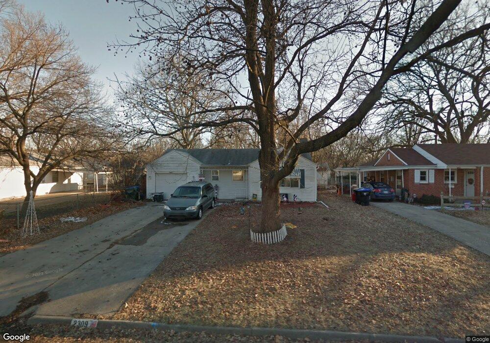
2309 SW 24th St Topeka, KS 66611
Central Topeka NeighborhoodEstimated Value: $114,000 - $142,000
3
Beds
1
Bath
1,100
Sq Ft
$115/Sq Ft
Est. Value
About This Home
This home is located at 2309 SW 24th St, Topeka, KS 66611 and is currently estimated at $126,496, approximately $114 per square foot. 2309 SW 24th St is a home located in Shawnee County with nearby schools including Martin Park Elementary School, D.F. Huddle Elementary School, and Ashland District School.
Ownership History
Date
Name
Owned For
Owner Type
Purchase Details
Closed on
Oct 20, 2015
Sold by
Cook Kristi
Bought by
Cook Corey M
Current Estimated Value
Purchase Details
Closed on
Nov 20, 2008
Sold by
Murray Linda S and Estate Of Calvin A Mauzey
Bought by
Cook Corey M and Cook Kristi S
Home Financials for this Owner
Home Financials are based on the most recent Mortgage that was taken out on this home.
Original Mortgage
$56,719
Outstanding Balance
$37,066
Interest Rate
5.99%
Mortgage Type
FHA
Estimated Equity
$89,430
Create a Home Valuation Report for This Property
The Home Valuation Report is an in-depth analysis detailing your home's value as well as a comparison with similar homes in the area
Home Values in the Area
Average Home Value in this Area
Purchase History
| Date | Buyer | Sale Price | Title Company |
|---|---|---|---|
| Cook Corey M | -- | None Available | |
| Cook Corey M | $72,000 | Kansas Secured Title |
Source: Public Records
Mortgage History
| Date | Status | Borrower | Loan Amount |
|---|---|---|---|
| Open | Cook Corey M | $56,719 |
Source: Public Records
Tax History Compared to Growth
Tax History
| Year | Tax Paid | Tax Assessment Tax Assessment Total Assessment is a certain percentage of the fair market value that is determined by local assessors to be the total taxable value of land and additions on the property. | Land | Improvement |
|---|---|---|---|---|
| 2025 | $1,446 | $11,372 | -- | -- |
| 2023 | $1,446 | $9,750 | $0 | $0 |
| 2022 | $1,277 | $8,553 | $0 | $0 |
| 2021 | $1,188 | $7,437 | $0 | $0 |
| 2020 | $1,108 | $7,016 | $0 | $0 |
| 2019 | $1,080 | $6,812 | $0 | $0 |
| 2018 | $1,048 | $6,613 | $0 | $0 |
| 2017 | $1,051 | $6,613 | $0 | $0 |
| 2014 | $1,142 | $7,185 | $0 | $0 |
Source: Public Records
Map
Nearby Homes
- 2400 SW 24th St
- 2330 SW Wayne Ave
- 2761 SW Plass Ave
- 1556 SW 23rd St
- 2720 SW College Ave
- 1608 SW 26th St
- 1615 SW 27th St
- 2323 SW 20th St
- 1647 SW 21st St
- 2859 SW MacVicar Ave
- 2129 SW Buchanan St
- 2824 SW Burlingame Rd
- 1921 SW Damon Ct
- 2012 SW Westwood Dr
- 2924 SW Medford Ave
- 2058 SW Buchanan St
- 1512 SW 29th Terrace
- 2910 SW Burlingame Rd
- 1407 SW 29th St
- 1621 SW Wayne Ave
- 2317 SW 24th St
- 2401 SW Plass Ave
- 2405 SW Plass Ave
- 2325 SW 24th St
- 2316 SW 25th Dr
- 2320 SW 25th Dr
- 2312 SW 25th Dr
- 2249 SW Plass Ave
- 2324 SW 25th Dr
- 2248 SW MacVicar Ave
- 2308 SW 25th Dr
- 2245 SW Plass Ave
- 2244 SW MacVicar Ave
- 2400 SW Plass Ave
- 2241 SW Plass Ave
- 2401 SW 24th St
- 2404 SW Plass Ave
- 2240 SW MacVicar Ave
- 2400 SW 25th Dr
- 2314 SW 24th St