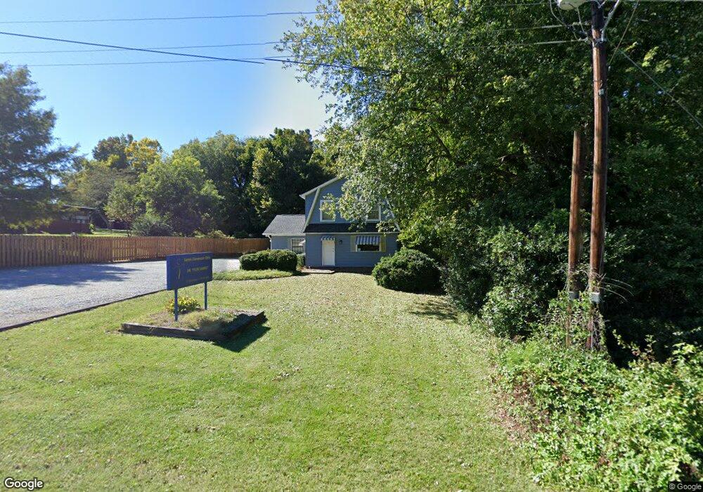
231 Baker Rd Archdale, NC 27263
Greater High Point NeighborhoodEstimated Value: $271,622
Studio
2
Baths
2,200
Sq Ft
$123/Sq Ft
Est. Value
About This Home
This home is located at 231 Baker Rd, Archdale, NC 27263 and is currently estimated at $271,622, approximately $123 per square foot. 231 Baker Rd is a home located in Guilford County with nearby schools including Allen Jay Elementary School, Southern Guilford Middle, and Southern Guilford High School.
Ownership History
Date
Name
Owned For
Owner Type
Purchase Details
Closed on
Apr 28, 2004
Sold by
Johnson Roger Dale
Bought by
Earnst William Tyler and Earnst Elizabeth C
Current Estimated Value
Home Financials for this Owner
Home Financials are based on the most recent Mortgage that was taken out on this home.
Original Mortgage
$109,800
Outstanding Balance
$50,937
Interest Rate
5.35%
Mortgage Type
Commercial
Estimated Equity
$220,685
Purchase Details
Closed on
Jun 4, 2003
Sold by
Rebo Macdonald Keith Thomas and Rebo Macdonald Teresa
Bought by
Johnson Roger Dale
Home Financials for this Owner
Home Financials are based on the most recent Mortgage that was taken out on this home.
Original Mortgage
$92,000
Interest Rate
5.79%
Mortgage Type
Seller Take Back
Create a Home Valuation Report for This Property
The Home Valuation Report is an in-depth analysis detailing your home's value as well as a comparison with similar homes in the area
Home Values in the Area
Average Home Value in this Area
Purchase History
| Date | Buyer | Sale Price | Title Company |
|---|---|---|---|
| Earnst William Tyler | $122,000 | -- | |
| Johnson Roger Dale | $95,000 | -- |
Source: Public Records
Mortgage History
| Date | Status | Borrower | Loan Amount |
|---|---|---|---|
| Open | Earnst William Tyler | $109,800 | |
| Previous Owner | Johnson Roger Dale | $92,000 |
Source: Public Records
Tax History
| Year | Tax Paid | Tax Assessment Tax Assessment Total Assessment is a certain percentage of the fair market value that is determined by local assessors to be the total taxable value of land and additions on the property. | Land | Improvement |
|---|---|---|---|---|
| 2025 | $1,360 | $98,700 | $40,000 | $58,700 |
| 2024 | $1,360 | $98,700 | $40,000 | $58,700 |
| 2023 | $1,360 | $98,700 | $40,000 | $58,700 |
| 2022 | $1,330 | $98,700 | $40,000 | $58,700 |
| 2021 | $1,250 | $90,700 | $40,000 | $50,700 |
| 2020 | $1,250 | $90,700 | $40,000 | $50,700 |
| 2019 | $1,250 | $90,700 | $0 | $0 |
| 2018 | $1,244 | $90,700 | $0 | $0 |
| 2017 | $1,250 | $90,700 | $0 | $0 |
| 2016 | $1,252 | $89,300 | $0 | $0 |
| 2015 | $1,259 | $89,300 | $0 | $0 |
| 2014 | $1,281 | $89,300 | $0 | $0 |
Source: Public Records
Map
Nearby Homes
- 600 E Fairfield Rd
- 312 Playground Rd
- 116 Liberty Place
- 715 Baker Rd
- 717 Belmont Dr
- 1000 Westbrook Ct
- 10844 N Main St
- 702 Westbrook Ct Unit 702
- 818 Westbrook Ct Unit 818
- 112 Westbrook Ct
- 518 Elliott St
- 919 Belmont Dr
- 500 Lynbrook Dr
- 702 Oakmont Cir
- 2107 Jefferson Ct
- 1606 Chelsea Square
- 510 Dale St
- 3813 Salisbury St
- 10812, 10822, 10828 N Main St
- 1008 Victory Dr
Your Personal Tour Guide
Ask me questions while you tour the home.