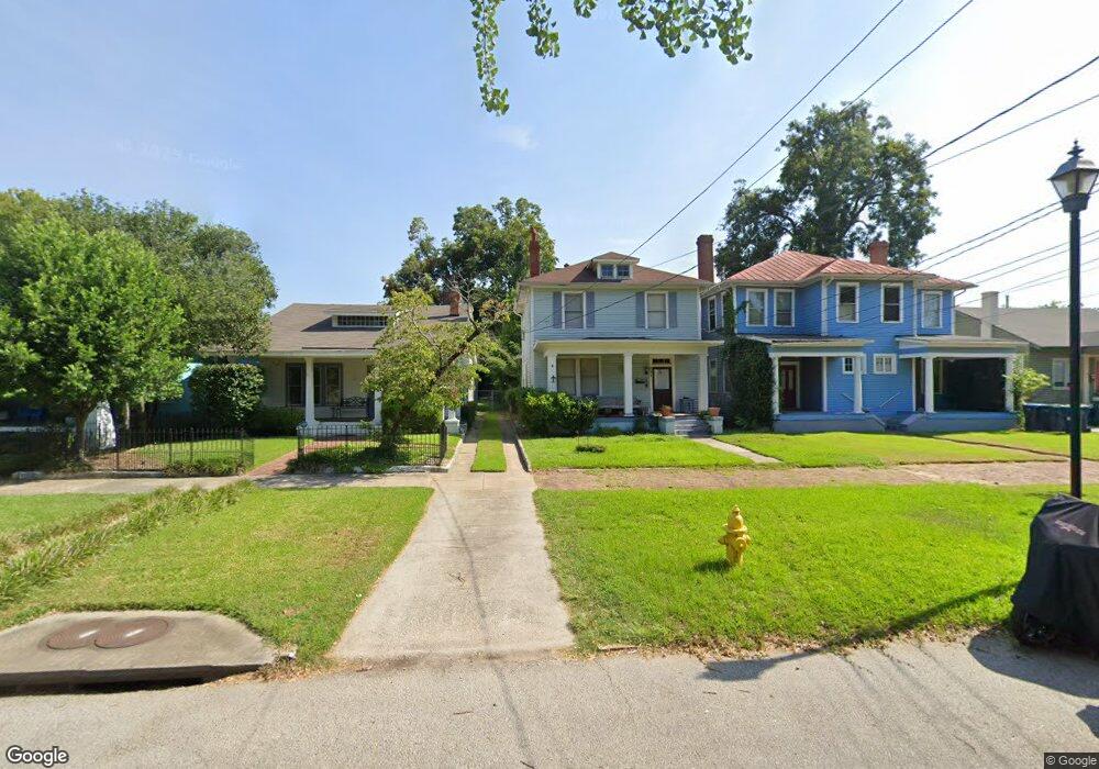
231 Broad St Augusta, GA 30901
Olde Town-Pinched Gut NeighborhoodEstimated Value: $187,868 - $242,000
3
Beds
2
Baths
1,742
Sq Ft
$119/Sq Ft
Est. Value
About This Home
This home is located at 231 Broad St, Augusta, GA 30901 and is currently estimated at $206,467, approximately $118 per square foot. 231 Broad St is a home located in Richmond County with nearby schools including W.S. Hornsby School, W.S. Hornsby Elementary School, and Johnson Magnet.
Ownership History
Date
Name
Owned For
Owner Type
Purchase Details
Closed on
Nov 23, 2011
Sold by
Beneficial Financial I Inc
Bought by
Stovall Norma Patrice
Current Estimated Value
Purchase Details
Closed on
Feb 1, 2011
Sold by
Limehouse Barbara
Bought by
Beneficial Mtg Co Of Ga
Purchase Details
Closed on
Aug 6, 1998
Sold by
King Paul G
Bought by
King Paul G
Purchase Details
Closed on
Mar 12, 1998
Sold by
King Paul G
Bought by
Limehouse Barbara
Purchase Details
Closed on
Dec 10, 1996
Sold by
Knox Foundation The By Tr Knox Boone A T
Bought by
King Paul G
Create a Home Valuation Report for This Property
The Home Valuation Report is an in-depth analysis detailing your home's value as well as a comparison with similar homes in the area
Home Values in the Area
Average Home Value in this Area
Purchase History
| Date | Buyer | Sale Price | Title Company |
|---|---|---|---|
| Stovall Norma Patrice | $30,000 | -- | |
| Beneficial Mtg Co Of Ga | $29,014 | -- | |
| Beneficial Mortgage Co Of Georgia | $29,000 | -- | |
| King Paul G | -- | -- | |
| Limehouse Barbara | -- | -- | |
| King Paul G | -- | -- |
Source: Public Records
Tax History
| Year | Tax Paid | Tax Assessment Tax Assessment Total Assessment is a certain percentage of the fair market value that is determined by local assessors to be the total taxable value of land and additions on the property. | Land | Improvement |
|---|---|---|---|---|
| 2025 | $2,246 | $69,368 | $1,352 | $68,016 |
| 2024 | $2,246 | $69,368 | $1,352 | $68,016 |
| 2023 | $1,659 | $71,972 | $1,352 | $70,620 |
| 2022 | $1,374 | $39,783 | $1,352 | $38,431 |
| 2021 | $1,136 | $29,574 | $1,354 | $28,220 |
| 2020 | $969 | $24,941 | $1,354 | $23,587 |
| 2019 | $733 | $16,938 | $1,354 | $15,584 |
| 2018 | $737 | $16,938 | $1,354 | $15,584 |
| 2017 | $735 | $16,938 | $1,354 | $15,584 |
| 2016 | $735 | $16,938 | $1,354 | $15,584 |
| 2015 | $738 | $16,938 | $1,354 | $15,584 |
| 2014 | $739 | $16,938 | $1,354 | $15,584 |
Source: Public Records
Map
Nearby Homes
- 106 2nd St
- 106 Forsythe St
- 114 Ellis St
- 313 Ellis St
- 306 1st St
- 228 Greene St
- 29 Savannah River Place
- 305 Walker St
- 7033 Tallulah Ln
- 258 Walker St
- 602 3rd St
- 270 Rivernorth Dr
- 7149 Tallulah Ln
- 7275 Tallulah Ln
- 444 Greene St
- Lot 5 Rivernorth Dr
- 109 E Walker St
- 1536 Satilla Place
- 1504 Satilla Place
- 461 Rivernorth Dr
- 227 Broad St
- 233 Broad St
- 225 Broad St
- 235 Broad St
- 223 Broad St
- 237 Broad St
- 232 Reynolds St
- 224 Reynolds St
- 221 Broad St
- 244 Reynolds St
- 239 Broad St
- 228 Reynolds St
- 222 Reynolds St
- 250 Reynolds St
- 219 Broad St
- 247 Broad St
- 213 Broad St Unit B
- 218 Reynolds St Unit 218 Reynolds St
- 218 Reynolds St
- 264 Broad St