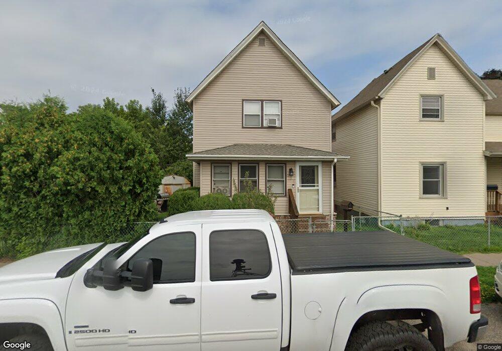
231 Cliff St Saint Paul, MN 55102
West Seventh NeighborhoodEstimated Value: $136,000 - $802,234
2
Beds
2
Baths
1,176
Sq Ft
$292/Sq Ft
Est. Value
About This Home
This home is located at 231 Cliff St, Saint Paul, MN 55102 and is currently estimated at $343,559, approximately $292 per square foot. 231 Cliff St is a home located in Ramsey County with nearby schools including Randolph Heights Elementary School, Hidden River Middle School, and Central Senior High School.
Ownership History
Date
Name
Owned For
Owner Type
Purchase Details
Closed on
Apr 28, 2015
Sold by
Ahler Mary K and Sheppard Martha E
Bought by
Martinson Brian C and Partin Melissa R
Current Estimated Value
Home Financials for this Owner
Home Financials are based on the most recent Mortgage that was taken out on this home.
Original Mortgage
$149,900
Outstanding Balance
$115,478
Interest Rate
3.68%
Mortgage Type
New Conventional
Estimated Equity
$228,081
Purchase Details
Closed on
Sep 27, 2001
Sold by
Pourienn Judith
Bought by
Herott David
Create a Home Valuation Report for This Property
The Home Valuation Report is an in-depth analysis detailing your home's value as well as a comparison with similar homes in the area
Home Values in the Area
Average Home Value in this Area
Purchase History
| Date | Buyer | Sale Price | Title Company |
|---|---|---|---|
| Martinson Brian C | $473,836 | Burnet Title | |
| Herott David | $65,000 | -- |
Source: Public Records
Mortgage History
| Date | Status | Borrower | Loan Amount |
|---|---|---|---|
| Open | Martinson Brian C | $149,900 |
Source: Public Records
Tax History
| Year | Tax Paid | Tax Assessment Tax Assessment Total Assessment is a certain percentage of the fair market value that is determined by local assessors to be the total taxable value of land and additions on the property. | Land | Improvement |
|---|---|---|---|---|
| 2025 | $2,160 | $175,000 | $20,000 | $155,000 |
| 2023 | $2,160 | $146,100 | $20,000 | $126,100 |
| 2022 | $1,562 | $129,000 | $20,000 | $109,000 |
| 2021 | $2,014 | $104,100 | $20,000 | $84,100 |
| 2020 | $2,268 | $134,200 | $12,000 | $122,200 |
| 2019 | $1,706 | $141,300 | $12,000 | $129,300 |
| 2018 | $1,404 | $109,400 | $12,000 | $97,400 |
| 2017 | $1,206 | $97,900 | $12,000 | $85,900 |
| 2016 | $1,138 | $0 | $0 | $0 |
| 2015 | $1,202 | $76,600 | $12,000 | $64,600 |
| 2014 | $1,154 | $0 | $0 | $0 |
Source: Public Records
Map
Nearby Homes
- 294 Banfil St
- 199 McBoal St Unit 1
- 309 W Harrison Ave
- 240 1/2 Western Ave S Unit G2
- 336 Spring St
- 275 Western Ave S
- 345 Grand Ave
- 345 Ramsey St Unit 345B
- 383 Grand Ave Unit 9
- 190 Elm St
- 290 Spring St
- 359 Pleasant Ave
- 349 Ramsey St Unit 349A
- 360 Sherman St Unit 1607
- 454 Michigan St
- 253 Richmond St
- 294 Spring St
- 256 Spring St Unit 413
- 256 Spring St Unit 120
- 311 Pleasant Ave Unit 215
Your Personal Tour Guide
Ask me questions while you tour the home.