231 Highland Rd Unit Between Geo. and And Georgetown, SC 29440
Estimated Value: $387,967 - $539,000
3
Beds
3
Baths
3,283
Sq Ft
$149/Sq Ft
Est. Value
About This Home
This home is located at 231 Highland Rd Unit Between Geo. and And, Georgetown, SC 29440 and is currently estimated at $488,242, approximately $148 per square foot. 231 Highland Rd Unit Between Geo. and And is a home located in Georgetown County with nearby schools including Sampit Elementary School, Rosemary Middle School, and Andrews High School.
Ownership History
Date
Name
Owned For
Owner Type
Purchase Details
Closed on
Feb 20, 2018
Sold by
Pfahl Penny L
Bought by
Harrington Johnny James and Harrington Joy Elizabeth
Current Estimated Value
Home Financials for this Owner
Home Financials are based on the most recent Mortgage that was taken out on this home.
Original Mortgage
$274,550
Outstanding Balance
$233,446
Interest Rate
4.15%
Mortgage Type
New Conventional
Estimated Equity
$254,796
Purchase Details
Closed on
May 30, 2007
Sold by
Graham Paul James
Bought by
Pfahl Norbert W and Pfahl Penny L
Home Financials for this Owner
Home Financials are based on the most recent Mortgage that was taken out on this home.
Original Mortgage
$100,000
Interest Rate
6.12%
Mortgage Type
Purchase Money Mortgage
Create a Home Valuation Report for This Property
The Home Valuation Report is an in-depth analysis detailing your home's value as well as a comparison with similar homes in the area
Home Values in the Area
Average Home Value in this Area
Purchase History
| Date | Buyer | Sale Price | Title Company |
|---|---|---|---|
| Harrington Johnny James | $289,000 | None Available | |
| Pfahl Norbert W | $265,000 | None Available |
Source: Public Records
Mortgage History
| Date | Status | Borrower | Loan Amount |
|---|---|---|---|
| Open | Harrington Johnny James | $274,550 | |
| Previous Owner | Pfahl Norbert W | $100,000 |
Source: Public Records
Tax History Compared to Growth
Tax History
| Year | Tax Paid | Tax Assessment Tax Assessment Total Assessment is a certain percentage of the fair market value that is determined by local assessors to be the total taxable value of land and additions on the property. | Land | Improvement |
|---|---|---|---|---|
| 2024 | $1,741 | $11,410 | $110 | $11,300 |
| 2023 | $1,741 | $11,410 | $110 | $11,300 |
| 2022 | $1,610 | $11,410 | $110 | $11,300 |
| 2021 | $1,611 | $11,408 | $112 | $11,296 |
| 2020 | $1,607 | $11,408 | $112 | $11,296 |
| 2019 | $1,542 | $10,960 | $112 | $10,848 |
| 2018 | $1,428 | $98,400 | $0 | $0 |
| 2017 | $949 | $98,400 | $0 | $0 |
| 2016 | $937 | $9,840 | $0 | $0 |
| 2015 | $1,027 | $0 | $0 | $0 |
| 2014 | $1,027 | $246,000 | $2,800 | $243,200 |
| 2012 | -- | $246,000 | $2,800 | $243,200 |
Source: Public Records
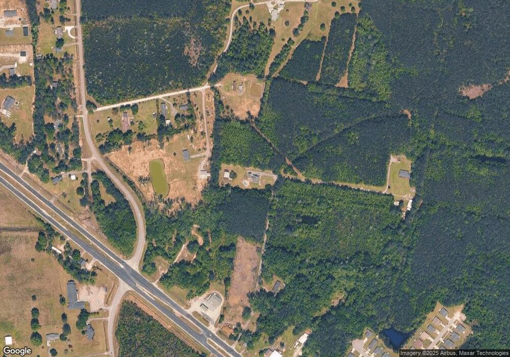
Map
Nearby Homes
- 160 Leadwood St
- 85 Blackjack Ln
- 141 Feather Dr
- 121 Feather Dr
- 754 Kent Rd
- 101 Feather Dr
- 564 Oak Lawn Rd Unit LOT 131
- 829 Commanders Island Rd Unit Lot 183
- 713 Belle Rive Rd Unit Lot 9 Custom Plan
- 8946 Highmarket St
- 575 Green Bay Dr
- 4575 Saints Delight Rd
- 676 Gravel Gulley Rd
- 23 Newton Trail
- 23 Newton Trail Unit 23, 33, 43, 53, 73 N
- 53 Newton Trail
- 73 Newton Trail
- 43 Newton Trail
- 33 Newton Trail
- 12155 Gapway Rd
- 231 Highland Rd
- 226 Highland Rd
- 2504 Georgetown Hwy
- 29 Highland Rd
- 81 Dutch Ct Unit Lot 1
- 105 Deepwood Ct
- 142 Desurrency Ct
- 142 Desurrency Ct Unit Lot 7
- 142 Desurrency Ct Unit St John Floor Plan
- 141 Desurrency Ct Unit Lot 6
- 141 Desurrency Ct Unit St John Floor Plan
- 000 Kent Rd
- 131 Desurrency Ct
- 131 Desurrency Ct Unit Lot 5
- 132 Desurrency Ct Unit Lot 8
- 2319 Georgetown Hwy
- 121 Desurrency Ct Unit Dewees Floor Plan
- 2287 Georgetown Hwy
- 5284 Kent Rd
- 2 Desurrency Ct Unit Belle Floor Plan