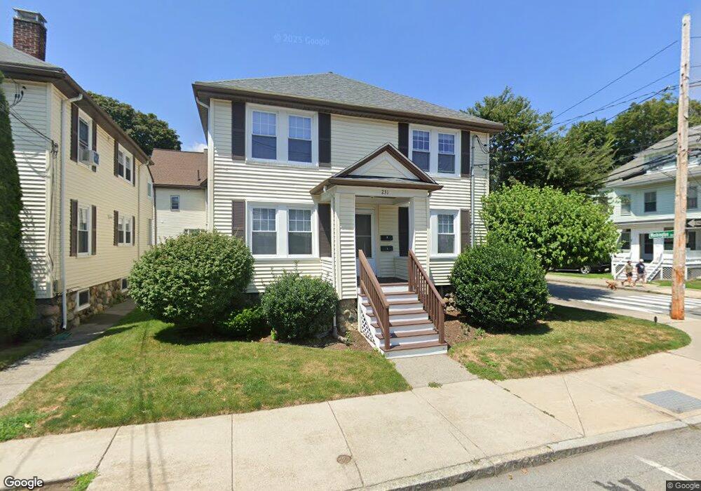
231 Lowell St Unit 1 Waltham, MA 02453
South Side NeighborhoodEstimated Value: $426,196 - $636,000
2
Beds
1
Bath
807
Sq Ft
$664/Sq Ft
Est. Value
About This Home
This home is located at 231 Lowell St Unit 1, Waltham, MA 02453 and is currently estimated at $535,799, approximately $663 per square foot. 231 Lowell St Unit 1 is a home located in Middlesex County with nearby schools including Henry Whittemore Elementary School, John W. Mcdevitt Middle School, and Waltham Sr High School.
Ownership History
Date
Name
Owned For
Owner Type
Purchase Details
Closed on
Jul 20, 2004
Sold by
Fairvale Rt and Horn Max
Bought by
King Kimberlie E
Current Estimated Value
Home Financials for this Owner
Home Financials are based on the most recent Mortgage that was taken out on this home.
Original Mortgage
$251,100
Outstanding Balance
$125,692
Interest Rate
6.25%
Mortgage Type
Purchase Money Mortgage
Estimated Equity
$410,107
Create a Home Valuation Report for This Property
The Home Valuation Report is an in-depth analysis detailing your home's value as well as a comparison with similar homes in the area
Home Values in the Area
Average Home Value in this Area
Purchase History
| Date | Buyer | Sale Price | Title Company |
|---|---|---|---|
| King Kimberlie E | $269,000 | -- |
Source: Public Records
Mortgage History
| Date | Status | Borrower | Loan Amount |
|---|---|---|---|
| Open | King Kimberlie E | $251,100 |
Source: Public Records
Tax History Compared to Growth
Tax History
| Year | Tax Paid | Tax Assessment Tax Assessment Total Assessment is a certain percentage of the fair market value that is determined by local assessors to be the total taxable value of land and additions on the property. | Land | Improvement |
|---|---|---|---|---|
| 2025 | $2,982 | $303,700 | $0 | $303,700 |
| 2024 | $2,854 | $296,100 | $0 | $296,100 |
| 2023 | $2,923 | $283,200 | $0 | $283,200 |
| 2022 | $3,070 | $275,600 | $0 | $275,600 |
| 2021 | $2,947 | $260,300 | $0 | $260,300 |
| 2020 | $2,985 | $249,800 | $0 | $249,800 |
| 2019 | $2,713 | $214,300 | $0 | $214,300 |
| 2018 | $2,702 | $214,300 | $0 | $214,300 |
| 2017 | $2,692 | $214,300 | $0 | $214,300 |
| 2016 | $2,623 | $214,300 | $0 | $214,300 |
| 2015 | $2,785 | $212,100 | $0 | $212,100 |
Source: Public Records
Map
Nearby Homes
- 31-37 Washington Ave
- 25 Tolman St Unit 2
- 24 Tolman St Unit A
- 21-23 Noble St
- 659 Moody St Unit 2
- 73 Orange St Unit 2
- 5-7 Chester Ave
- 47 Alder St Unit 6
- 40 Myrtle St Unit 9
- 81 Alder St
- 15 Alder St Unit 1
- 42 Alder St
- 138 Myrtle St Unit 2
- 162 Myrtle St Unit 1
- 334 River St
- 308 Newton St Unit 1
- 29 Cherry St Unit 2
- 265-267 River St Unit 267
- 265-267 River St Unit 265
- 101-103 Lexington St
- 231 Lowell St Unit 2
- 233 Lowell St Unit 3
- 233 Lowell St Unit 2
- 233 Lowell St Unit 1
- 49 Washington Ave
- 63 Washington Ave
- 48 Washington Ave
- 45 Washington Ave
- 230 Lowell St Unit 2
- 230 Lowell St Unit 1
- 241 Lowell St
- 241 Lowell St Unit 2
- 224 Lowell St Unit 226
- 67 Washington Ave
- 219 Lowell St Unit 221
- 219 Lowell St Unit 1a
- 44 Washington Ave Unit 46
- 220 Lowell St Unit 222
- 242 Lowell St
- 245 Lowell St Unit 2B