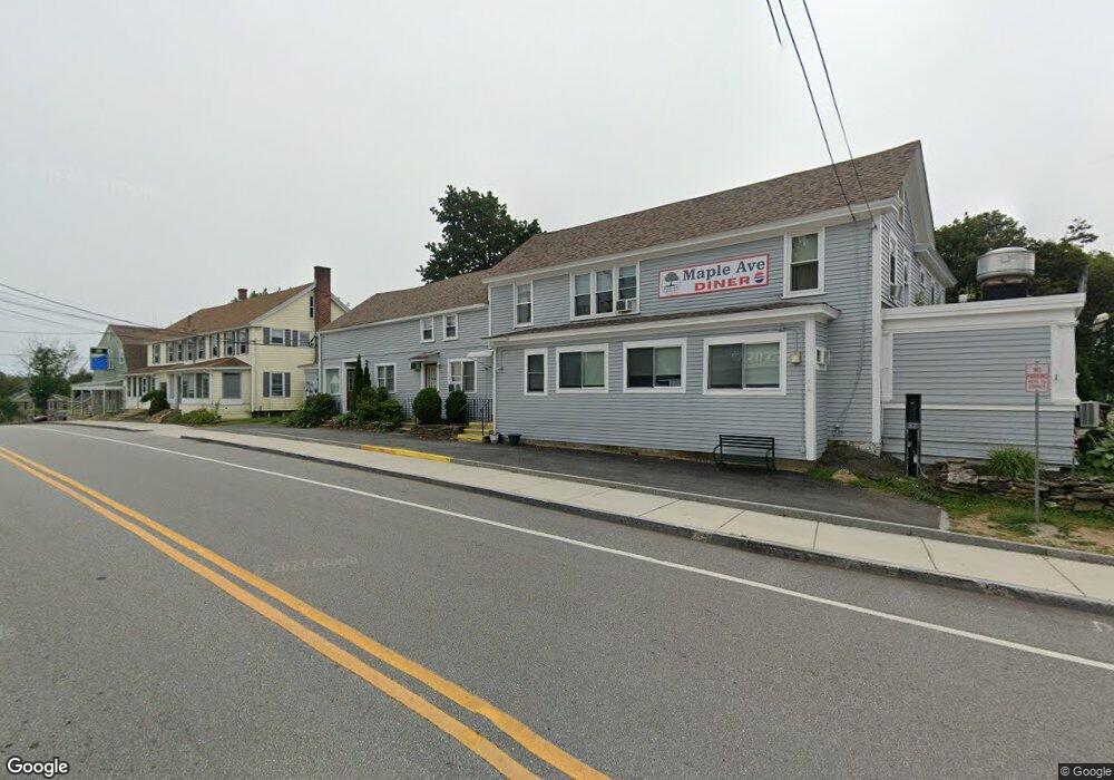
231 Main St Rutland, MA 01543
Estimated Value: $741,647
--
Bed
--
Bath
5,739
Sq Ft
$129/Sq Ft
Est. Value
About This Home
This home is located at 231 Main St, Rutland, MA 01543 and is currently estimated at $741,647, approximately $129 per square foot. 231 Main St is a home located in Worcester County with nearby schools including Wachusett Regional High School.
Ownership History
Date
Name
Owned For
Owner Type
Purchase Details
Closed on
Apr 13, 2011
Sold by
Rutland Village Ctr Ll
Bought by
Ravenswood Props Inc
Current Estimated Value
Home Financials for this Owner
Home Financials are based on the most recent Mortgage that was taken out on this home.
Original Mortgage
$236,000
Outstanding Balance
$163,502
Interest Rate
4.89%
Mortgage Type
Commercial
Estimated Equity
$578,145
Purchase Details
Closed on
Jul 25, 2006
Sold by
Searae Corp
Bought by
Rutland Village Cente
Home Financials for this Owner
Home Financials are based on the most recent Mortgage that was taken out on this home.
Original Mortgage
$320,000
Interest Rate
6.67%
Mortgage Type
Commercial
Create a Home Valuation Report for This Property
The Home Valuation Report is an in-depth analysis detailing your home's value as well as a comparison with similar homes in the area
Home Values in the Area
Average Home Value in this Area
Purchase History
| Date | Buyer | Sale Price | Title Company |
|---|---|---|---|
| Ravenswood Props Inc | $162,500 | -- | |
| Rutland Village Cente | $400,000 | -- |
Source: Public Records
Mortgage History
| Date | Status | Borrower | Loan Amount |
|---|---|---|---|
| Open | Ravenswood Props Inc | $236,000 | |
| Previous Owner | Rutland Village Cente | $320,000 |
Source: Public Records
Tax History Compared to Growth
Tax History
| Year | Tax Paid | Tax Assessment Tax Assessment Total Assessment is a certain percentage of the fair market value that is determined by local assessors to be the total taxable value of land and additions on the property. | Land | Improvement |
|---|---|---|---|---|
| 2025 | $8,457 | $593,900 | $77,900 | $516,000 |
| 2024 | $5,336 | $359,800 | $81,400 | $278,400 |
| 2023 | $5,196 | $378,700 | $81,400 | $297,300 |
| 2022 | $5,980 | $378,700 | $81,400 | $297,300 |
| 2021 | $6,276 | $375,800 | $81,400 | $294,400 |
| 2020 | $5,841 | $331,700 | $66,200 | $265,500 |
| 2019 | $5,766 | $322,300 | $63,100 | $259,200 |
| 2018 | $5,843 | $322,300 | $63,100 | $259,200 |
| 2017 | $5,996 | $327,300 | $63,100 | $264,200 |
| 2016 | $5,239 | $301,600 | $63,300 | $238,300 |
| 2015 | $5,323 | $301,600 | $63,300 | $238,300 |
| 2014 | $5,160 | $301,600 | $63,300 | $238,300 |
Source: Public Records
Map
Nearby Homes
- 28 Forest Hill Dr
- 32 Pommogussett Rd Unit 1
- 11 Lewis St
- 21 Lewis St
- 6 Lewis St
- 12 Lewis St
- 27 Lewis St
- 10 Soucy Dr
- 5 Miles Rd
- 2 Forest Hill Dr
- 25 Watson Ln
- 55 Pommogussett Rd
- 10 Fidelity Dr Unit 5
- 132 Fidelity Dr Unit 61
- 85 Maple Ave Unit A
- 12 Fidelity Dr Unit 6
- 21 Highland Park Rd
- 7 Prescott St
- 10 Beechwood Dr
- 16 Richards Ave
- 231 Main St Unit 4
- 231 Main St Unit 3
- 231 Main St Unit 6
- 231 Main St Unit 8
- 6 Maple Ave Unit 6-1
- 8 Maple Ave
- 243 Main St Unit 3
- 243 Main St
- 243 Main St Unit 5
- 12 Maple Ave
- 237 Main St
- 2 Maple Ave
- 1 Maple Ave
- Mult. Lots Oneota and Turkey Hill Trail
- 5 Maple Ave
- 3 Maple Ave
- 16 Maple Ave
- 7 Maple Ave Unit 3
- 7 Maple Ave Unit 3rd
- 7 Maple Ave Unit 2R