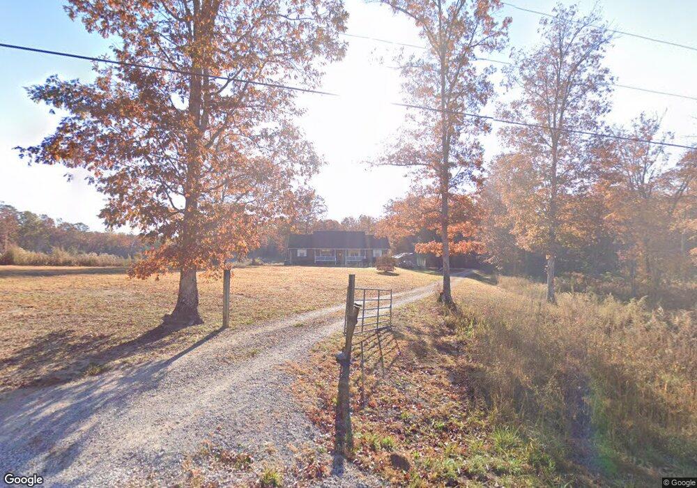
231 Maple Branch Rd Coalmont, TN 37313
Estimated Value: $294,267 - $300,000
--
Bed
2
Baths
1,680
Sq Ft
$177/Sq Ft
Est. Value
About This Home
This home is located at 231 Maple Branch Rd, Coalmont, TN 37313 and is currently estimated at $296,756, approximately $176 per square foot. 231 Maple Branch Rd is a home located in Grundy County with nearby schools including Cumberland Heights Sda School.
Ownership History
Date
Name
Owned For
Owner Type
Purchase Details
Closed on
Mar 27, 1997
Sold by
Morgan Samuel
Bought by
Meeks Jeremy G and Meeks Alissa
Current Estimated Value
Purchase Details
Closed on
Jan 24, 1996
Sold by
Morgan Samuel
Bought by
Gilliam Linda M
Purchase Details
Closed on
Aug 25, 1992
Bought by
Morgan Samuel and Morgan Kimberly D
Purchase Details
Closed on
Mar 25, 1977
Bought by
Laue Robert W and Laue Emily
Create a Home Valuation Report for This Property
The Home Valuation Report is an in-depth analysis detailing your home's value as well as a comparison with similar homes in the area
Home Values in the Area
Average Home Value in this Area
Purchase History
| Date | Buyer | Sale Price | Title Company |
|---|---|---|---|
| Meeks Jeremy G | $12,000 | -- | |
| Gilliam Linda M | $41,871 | -- | |
| Morgan Samuel | $18,000 | -- | |
| Laue Robert W | -- | -- |
Source: Public Records
Tax History Compared to Growth
Tax History
| Year | Tax Paid | Tax Assessment Tax Assessment Total Assessment is a certain percentage of the fair market value that is determined by local assessors to be the total taxable value of land and additions on the property. | Land | Improvement |
|---|---|---|---|---|
| 2024 | $977 | $68,500 | $12,775 | $55,725 |
| 2023 | $977 | $68,500 | $12,775 | $55,725 |
| 2022 | $904 | $40,850 | $8,350 | $32,500 |
| 2021 | $895 | $40,450 | $8,350 | $32,100 |
| 2020 | $895 | $40,450 | $8,350 | $32,100 |
| 2019 | $928 | $39,225 | $4,900 | $34,325 |
| 2018 | $928 | $36,575 | $4,900 | $31,675 |
| 2017 | $928 | $36,575 | $4,900 | $31,675 |
| 2016 | $928 | $36,575 | $4,900 | $31,675 |
| 2015 | $926 | $36,500 | $4,900 | $31,600 |
| 2014 | $927 | $36,503 | $0 | $0 |
Source: Public Records
Map
Nearby Homes
- 0 Savage Highland Dr Unit RTC2883867
- 112 Esther Dr
- 2361 Colony Rd
- 0 Woodfern Ln Unit RTC2989105
- 0 Woodfern Ln Unit RTC2989079
- 3 Savage Highland Dr
- 3 Woodfern Ln
- 0 Sr 108 Unit RTC2527869
- 0 Sr 108 Unit RTC2979327
- 12970 State Route 56
- 0 Boulder Lake Dr Unit RTC2989050
- 0 Boulder Lake Dr
- 0 Boulder Lake Dr Unit 1516623
- 45 Winding Creek Way
- 0 Colony Rd Unit RTC3032748
- 916 N Rim Dr
- 0 N Rim Dr Unit RTC2788903
- 28754 Tennessee 108
- 137 Lakeshore Blvd
- 549 Dollar Dr
- 493 Maple Branch Rd
- 140 Maple Branch Rd
- 260 Maple Branch Rd
- 940 Colony Rd
- 936 Colony Rd
- 934 Colony Rd
- 1244 Colony Rd
- 216 Carlson Rd
- 816 Colony Rd
- 0 Maple Branch Rd
- 0 Maple Branch Rd Unit RTC1262787
- 0 Maple Branch Rd Unit 1284507
- 0 Maple Branch Rd Unit 1262336
- 0 Maple Branch Rd Unit 1241610
- 149 Hemlock Dr
- 822 Colony Rd
- 0 Hemlock Dr Unit 1037066
- 200 Dogwood Trail
- 508 Maple Branch Rd
- 49 Hemlock Dr