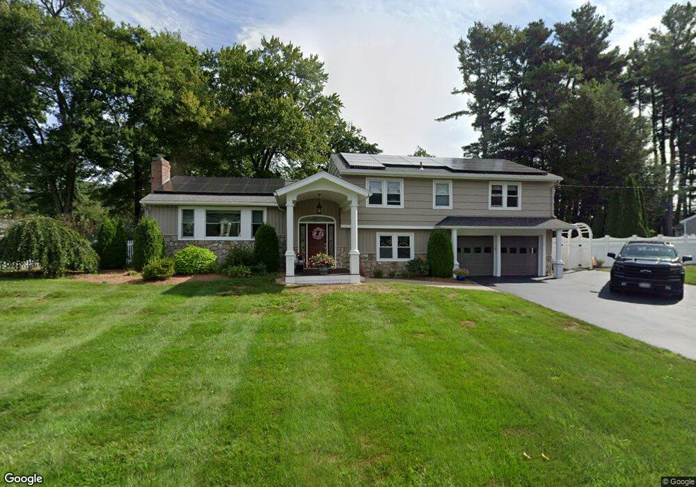
231 Marked Tree Rd Holliston, MA 01746
Estimated Value: $768,877 - $842,000
4
Beds
2
Baths
1,974
Sq Ft
$407/Sq Ft
Est. Value
About This Home
This home is located at 231 Marked Tree Rd, Holliston, MA 01746 and is currently estimated at $803,219, approximately $406 per square foot. 231 Marked Tree Rd is a home located in Middlesex County with nearby schools including Placentino Elementary School, Miller Elementary School, and Robert H. Adams Middle School.
Ownership History
Date
Name
Owned For
Owner Type
Purchase Details
Closed on
Jun 30, 1995
Sold by
Bornfriend Barry and Bornfriend Vivian
Bought by
Howland Paul and Howland Danielle B
Current Estimated Value
Create a Home Valuation Report for This Property
The Home Valuation Report is an in-depth analysis detailing your home's value as well as a comparison with similar homes in the area
Home Values in the Area
Average Home Value in this Area
Purchase History
| Date | Buyer | Sale Price | Title Company |
|---|---|---|---|
| Howland Paul | $175,000 | -- |
Source: Public Records
Mortgage History
| Date | Status | Borrower | Loan Amount |
|---|---|---|---|
| Open | Howland Paul | $39,300 | |
| Open | Howland Paul | $275,000 |
Source: Public Records
Tax History
| Year | Tax Paid | Tax Assessment Tax Assessment Total Assessment is a certain percentage of the fair market value that is determined by local assessors to be the total taxable value of land and additions on the property. | Land | Improvement |
|---|---|---|---|---|
| 2025 | $10,580 | $722,200 | $250,600 | $471,600 |
| 2024 | $9,331 | $619,600 | $250,600 | $369,000 |
| 2023 | $9,379 | $609,000 | $250,600 | $358,400 |
| 2022 | $8,553 | $492,100 | $250,600 | $241,500 |
| 2021 | $8,579 | $480,600 | $239,100 | $241,500 |
| 2020 | $8,324 | $441,600 | $216,200 | $225,400 |
| 2019 | $8,071 | $428,600 | $209,900 | $218,700 |
| 2018 | $7,843 | $420,100 | $209,900 | $210,200 |
| 2017 | $7,769 | $419,500 | $214,200 | $205,300 |
| 2016 | $7,796 | $414,900 | $184,000 | $230,900 |
| 2015 | $7,401 | $381,900 | $149,400 | $232,500 |
Source: Public Records
Map
Nearby Homes
- 22 Greenview Dr
- 35 Peter St
- 1366 Washington St
- 26 Mechanic St
- 154 Union St
- 25 Irving Place
- 48 Hemlock Dr
- 261 Rolling Meadow Dr
- 147 N Mill St
- 66 Lakeshore Dr
- 6 Skyview Terrace
- 269 Concord St
- 54 Garett Way Unit 54
- 37 Garett Way Unit 37
- 33 Garett Way Unit 33
- 50 Morgans Way
- 0 Hill St
- 1 Danforth Dr
- 18 Northway St
- 3 Danforth Dr
- 9 Smithhurst Dr
- 217 Marked Tree Rd
- 8 Smithhurst Dr
- 220 Marked Tree Rd
- 230 Marked Tree Rd
- 212 Marked Tree Rd
- 16 Smithhurst Dr
- 209 Marked Tree Rd
- 240 Marked Tree Rd
- 251 Marked Tree Rd
- 204 Marked Tree Rd
- 22 Smithhurst Dr
- 25 Smithhurst Dr
- 201 Marked Tree Rd
- 8 Sparrow Ln
- 196 Marked Tree Rd
- 7 Robin Hill Rd
- 259 Marked Tree Rd
- 10 Greenview Dr
- 250 Marked Tree Rd
Your Personal Tour Guide
Ask me questions while you tour the home.