231 Port Side Lakemoor, IL 60051
East Lakemoor NeighborhoodEstimated Value: $71,000 - $88,401
1
Bed
1
Bath
450
Sq Ft
$176/Sq Ft
Est. Value
About This Home
This home is located at 231 Port Side, Lakemoor, IL 60051 and is currently estimated at $79,134, approximately $175 per square foot. 231 Port Side is a home located in Lake County with nearby schools including Big Hollow Primary School, Big Hollow Elementary School, and Big Hollow Middle School.
Ownership History
Date
Name
Owned For
Owner Type
Purchase Details
Closed on
Nov 3, 2017
Sold by
Silva Whenman L and Silva John L
Bought by
Kotwila Joseph
Current Estimated Value
Purchase Details
Closed on
Oct 19, 2001
Sold by
State Financial Bank
Bought by
Silva Whenman L
Purchase Details
Closed on
Jul 13, 2001
Sold by
Trowbridge Barbara A
Bought by
State Financial Bank
Purchase Details
Closed on
Sep 3, 1999
Sold by
Calhoon James M and Calhoon Robin A
Bought by
Trowbridge Barbara
Home Financials for this Owner
Home Financials are based on the most recent Mortgage that was taken out on this home.
Original Mortgage
$27,200
Interest Rate
9.5%
Purchase Details
Closed on
Jun 15, 1996
Sold by
Kalfus Michael J
Bought by
Calhoon James M and Calhoon Robin A
Create a Home Valuation Report for This Property
The Home Valuation Report is an in-depth analysis detailing your home's value as well as a comparison with similar homes in the area
Home Values in the Area
Average Home Value in this Area
Purchase History
| Date | Buyer | Sale Price | Title Company |
|---|---|---|---|
| Kotwila Joseph | $28,500 | Fideity | |
| Silva Whenman L | $24,500 | -- | |
| State Financial Bank | -- | -- | |
| Trowbridge Barbara | $20,000 | -- | |
| Calhoon James M | $10,000 | Chicago Title Insurance Co |
Source: Public Records
Mortgage History
| Date | Status | Borrower | Loan Amount |
|---|---|---|---|
| Previous Owner | Trowbridge Barbara | $27,200 |
Source: Public Records
Tax History Compared to Growth
Tax History
| Year | Tax Paid | Tax Assessment Tax Assessment Total Assessment is a certain percentage of the fair market value that is determined by local assessors to be the total taxable value of land and additions on the property. | Land | Improvement |
|---|---|---|---|---|
| 2024 | $1,032 | $24,496 | $2,545 | $21,951 |
| 2023 | $1,222 | $19,721 | $2,398 | $17,323 |
| 2022 | $1,222 | $19,606 | $1,937 | $17,669 |
| 2021 | $1,146 | $18,481 | $1,826 | $16,655 |
| 2020 | $1,137 | $17,427 | $1,800 | $15,627 |
| 2019 | $1,098 | $16,712 | $1,726 | $14,986 |
| 2018 | $357 | $9,261 | $2,166 | $7,095 |
| 2017 | $0 | $8,560 | $2,002 | $6,558 |
| 2016 | $0 | $7,829 | $1,831 | $5,998 |
| 2015 | $0 | $7,306 | $1,709 | $5,597 |
| 2014 | -- | $4,440 | $1,563 | $2,877 |
| 2012 | $51 | $5,519 | $1,629 | $3,890 |
Source: Public Records
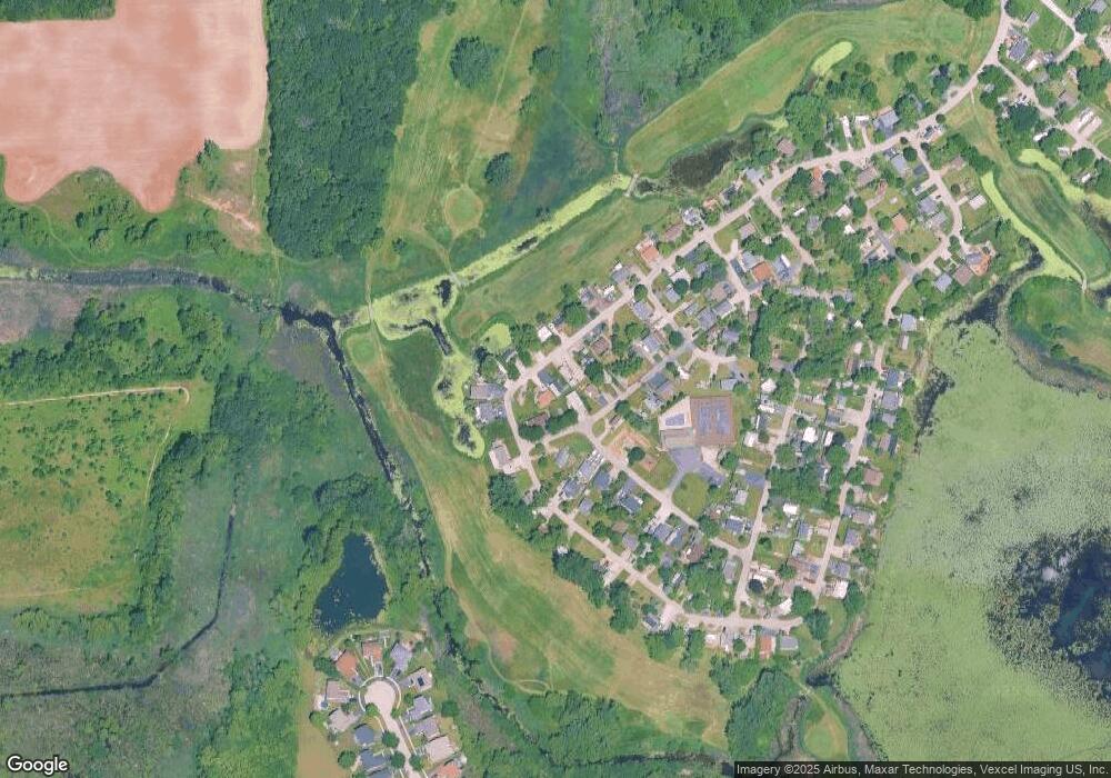
Map
Nearby Homes
- 182 Windward
- 4 Fishook Bay
- 27 Oyster Bay
- 723 Morris Ct Unit 7
- 676 Morris Ct
- 610 Wildwood Ln Unit 8066
- 336 Rosedale Dr
- 425 Northlake Rd
- 32022 Savannah Dr
- 32018 Savannah Dr
- 132 Rand Rd
- 0 Rand Rd
- 32016 Savannah Dr
- 32403 N Mackinac Ln Unit 101
- 32012 Savannah Dr
- 32006 W Savannah Dr
- 32060 Savannah Dr
- 32004 Savannah Dr
- 31918 Hillside Dr
- 32108 N Rockwell Dr