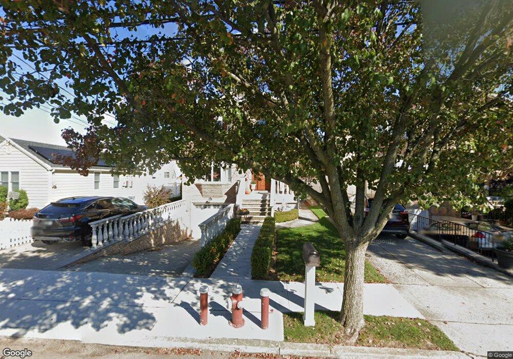
231 Sharrott Ave Staten Island, NY 10309
Pleasant Plains NeighborhoodEstimated Value: $1,082,921 - $1,224,000
--
Bed
4
Baths
2,200
Sq Ft
$525/Sq Ft
Est. Value
About This Home
This home is located at 231 Sharrott Ave, Staten Island, NY 10309 and is currently estimated at $1,154,480, approximately $524 per square foot. 231 Sharrott Ave is a home located in Richmond County with nearby schools including P.S. 3 - The Margaret Gioiosa School, I.S. 007 Elias Bernstein, and Tottenville High School.
Ownership History
Date
Name
Owned For
Owner Type
Purchase Details
Closed on
Jan 10, 2020
Sold by
Paragallo Stephen and Paragallo Donna
Bought by
Morales Alison Mari
Current Estimated Value
Purchase Details
Closed on
May 14, 2001
Sold by
Berkley Developers At Grymes Hill Inc
Bought by
Paragallo Stephen and Paragallo Donna
Home Financials for this Owner
Home Financials are based on the most recent Mortgage that was taken out on this home.
Original Mortgage
$250,000
Interest Rate
7.15%
Create a Home Valuation Report for This Property
The Home Valuation Report is an in-depth analysis detailing your home's value as well as a comparison with similar homes in the area
Home Values in the Area
Average Home Value in this Area
Purchase History
| Date | Buyer | Sale Price | Title Company |
|---|---|---|---|
| Morales Alison Mari | -- | Vintage Abstract Corp | |
| Paragallo Stephen | $492,000 | United General Title Ins Co |
Source: Public Records
Mortgage History
| Date | Status | Borrower | Loan Amount |
|---|---|---|---|
| Previous Owner | Paragallo Stephen | $250,000 |
Source: Public Records
Tax History Compared to Growth
Tax History
| Year | Tax Paid | Tax Assessment Tax Assessment Total Assessment is a certain percentage of the fair market value that is determined by local assessors to be the total taxable value of land and additions on the property. | Land | Improvement |
|---|---|---|---|---|
| 2025 | $10,066 | $67,440 | $9,814 | $57,626 |
| 2024 | $10,078 | $66,120 | $9,443 | $56,677 |
| 2023 | $9,586 | $48,600 | $9,634 | $38,966 |
| 2022 | $9,574 | $60,360 | $12,120 | $48,240 |
| 2021 | $9,848 | $49,980 | $12,120 | $37,860 |
| 2020 | $9,336 | $55,200 | $12,120 | $43,080 |
| 2019 | $8,688 | $56,940 | $12,120 | $44,820 |
| 2018 | $7,958 | $40,500 | $12,120 | $28,380 |
| 2017 | $8,127 | $41,340 | $12,120 | $29,220 |
| 2016 | $8,026 | $41,700 | $12,120 | $29,580 |
| 2015 | $6,896 | $39,775 | $10,033 | $29,742 |
| 2014 | $6,896 | $37,524 | $9,639 | $27,885 |
Source: Public Records
Map
Nearby Homes
- 16 Stevenson Place
- 52 Cordelia Ave
- 103 Elder Ave
- 79 S Goff Ave Unit B
- 20 Cordelia Ave
- 94 Sharrott Ave Unit 100
- 99 Excelsior Ave
- 71 Excelsior Ave
- 6384 Amboy Rd
- 6401 Amboy Rd
- 52 Cranberry Ct
- 180 Bayview Ave
- 26 Station Ave
- 6321 Amboy Rd
- 6136 Amboy Rd
- 6233 Amboy Rd
- 64 Indale Ave
- 53 Indale Ave
- 52 Pleasant Plains Ave
- 139 Commodore Dr
- 227 Sharrott Ave
- 239 Sharrott Ave
- 19 Stevenson Place
- 215 Sharrott Ave
- 14 Kenneth Place
- 243 Sharrott Ave
- 20 Kenneth Place
- 707 Sharrott Ave
- 23 Stevenson Place
- 26 Kenneth Place
- 7 Kenneth Place
- 253 Sharrott Ave
- 30 Kenneth Place
- 27 Stevenson Place
- 15 Kenneth Place
- 197 Sharrott Ave
- 19 Kenneth Place
- 34 Kenneth Place
- 35 Stevenson Place
- 193 Sharrott Ave