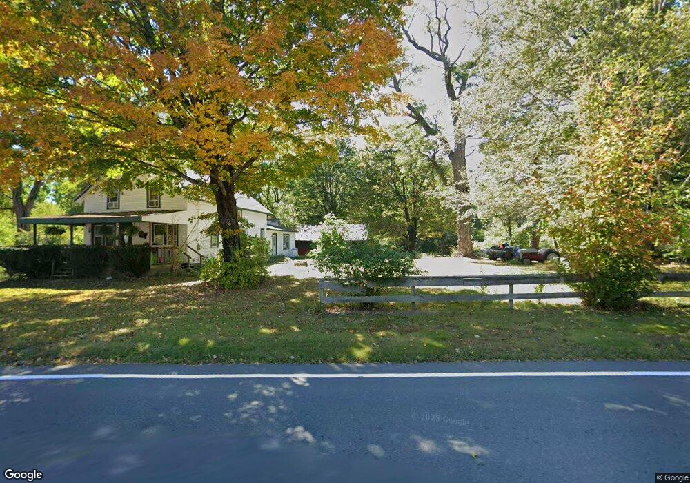
231 Southampton Rd Westhampton, MA 01027
Estimated Value: $384,399 - $670,000
4
Beds
2
Baths
2,280
Sq Ft
$224/Sq Ft
Est. Value
About This Home
This home is located at 231 Southampton Rd, Westhampton, MA 01027 and is currently estimated at $510,600, approximately $223 per square foot. 231 Southampton Rd is a home located in Hampshire County with nearby schools including Hampshire Regional High School and Calvary Baptist Christian School.
Ownership History
Date
Name
Owned For
Owner Type
Purchase Details
Closed on
Jun 27, 1987
Bought by
Wright Joel K and Wright Donna D
Current Estimated Value
Create a Home Valuation Report for This Property
The Home Valuation Report is an in-depth analysis detailing your home's value as well as a comparison with similar homes in the area
Home Values in the Area
Average Home Value in this Area
Purchase History
| Date | Buyer | Sale Price | Title Company |
|---|---|---|---|
| Wright Joel K | $70,000 | -- |
Source: Public Records
Mortgage History
| Date | Status | Borrower | Loan Amount |
|---|---|---|---|
| Open | Wright Joel K | $208,000 | |
| Closed | Wright Joel K | $40,000 | |
| Closed | Wright Joel K | $36,000 |
Source: Public Records
Tax History
| Year | Tax Paid | Tax Assessment Tax Assessment Total Assessment is a certain percentage of the fair market value that is determined by local assessors to be the total taxable value of land and additions on the property. | Land | Improvement |
|---|---|---|---|---|
| 2025 | $5,033 | $242,100 | $108,700 | $133,400 |
| 2024 | $5,009 | $242,100 | $108,700 | $133,400 |
| 2023 | $4,819 | $239,400 | $108,700 | $130,700 |
| 2022 | $4,961 | $242,100 | $108,700 | $133,400 |
| 2021 | $5,053 | $244,800 | $108,700 | $136,100 |
| 2020 | $4,989 | $245,500 | $108,700 | $136,800 |
| 2019 | $4,180 | $206,000 | $73,000 | $133,000 |
| 2018 | $4,003 | $206,000 | $73,000 | $133,000 |
| 2017 | $3,883 | $201,100 | $73,000 | $128,100 |
| 2016 | $3,801 | $201,100 | $73,000 | $128,100 |
| 2015 | $3,592 | $196,800 | $73,000 | $123,800 |
Source: Public Records
Map
Nearby Homes
- 75 Lead Mine Rd
- 87 Southampton Rd
- 18 Nicols Way Unit 18
- 1260 Westhampton Rd
- 1 Ashley Cir
- 36 Torrey St
- 0 Glendale Rd
- 892 Westhampton Rd
- 0 W Farms Rd
- 7 Quigley Rd
- 832 Westhampton Rd
- Lot 3R Pomeroy Meadow Rd
- 312 Fomer Rd
- 12 Golden Cir
- 5 Blueberry Hill Rd
- LOT 3 Brickyard Rd
- 6 Blueberry Ln
- 98 Park Hill Rd
- 131 West St Unit 131
- 38 College Hwy
- 230 Southampton Rd
- 225 Southampton Rd
- 216 Southampton Rd
- 215 Southampton Rd
- 0 Lot 2 Southampton Rd
- 0 Lot 1 Southampton Rd
- Lot 0 Southampton Rd
- 203 Southampton Rd
- 250 Southampton Rd
- 197 Southampton Rd
- 270 Southampton Rd
- 266 Southampton Rd
- 185 Southampton Rd
- 98 Main Rd
- 112 Main Rd
- 108 Main Rd
- 86 Main Rd
- 180 Southampton Rd
- 276 Southampton Rd
- 282 Southampton Rd
Your Personal Tour Guide
Ask me questions while you tour the home.