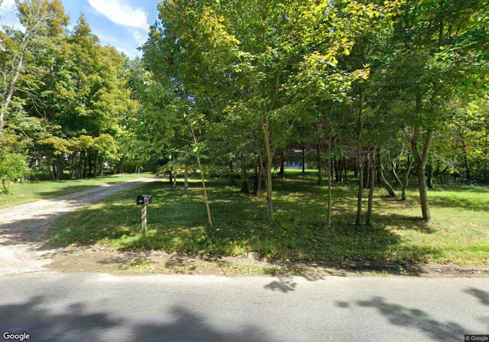
231 Sylvester Rd Florence, MA 01062
Florence NeighborhoodEstimated Value: $492,000 - $798,000
3
Beds
2
Baths
1,884
Sq Ft
$373/Sq Ft
Est. Value
About This Home
This home is located at 231 Sylvester Rd, Florence, MA 01062 and is currently estimated at $702,641, approximately $372 per square foot. 231 Sylvester Rd is a home with nearby schools including Northampton High School.
Ownership History
Date
Name
Owned For
Owner Type
Purchase Details
Closed on
Feb 14, 2014
Sold by
Lavalley Kathleen E and Lavalley Mark J
Bought by
Lavalley Jeffrey M
Current Estimated Value
Home Financials for this Owner
Home Financials are based on the most recent Mortgage that was taken out on this home.
Original Mortgage
$250,000
Outstanding Balance
$193,447
Interest Rate
4.52%
Mortgage Type
New Conventional
Estimated Equity
$509,194
Purchase Details
Closed on
Nov 14, 2012
Sold by
Lavalley Kathleen E
Bought by
Vacchelli Anthony A and Vacchelli Dean M
Create a Home Valuation Report for This Property
The Home Valuation Report is an in-depth analysis detailing your home's value as well as a comparison with similar homes in the area
Home Values in the Area
Average Home Value in this Area
Purchase History
| Date | Buyer | Sale Price | Title Company |
|---|---|---|---|
| Lavalley Jeffrey M | -- | -- | |
| Vacchelli Anthony A | $17,500 | -- |
Source: Public Records
Mortgage History
| Date | Status | Borrower | Loan Amount |
|---|---|---|---|
| Open | Lavalley Jeffrey M | $250,000 |
Source: Public Records
Tax History Compared to Growth
Tax History
| Year | Tax Paid | Tax Assessment Tax Assessment Total Assessment is a certain percentage of the fair market value that is determined by local assessors to be the total taxable value of land and additions on the property. | Land | Improvement |
|---|---|---|---|---|
| 2025 | $9,087 | $652,300 | $109,900 | $542,400 |
| 2024 | $9,232 | $607,800 | $105,300 | $502,500 |
| 2023 | $8,089 | $510,700 | $95,300 | $415,400 |
| 2022 | $7,415 | $414,500 | $89,800 | $324,700 |
| 2021 | $7,391 | $425,500 | $86,100 | $339,400 |
| 2020 | $7,148 | $425,500 | $86,100 | $339,400 |
| 2019 | $7,631 | $439,300 | $88,900 | $350,400 |
| 2018 | $7,145 | $419,300 | $88,900 | $330,400 |
| 2017 | $6,998 | $419,300 | $88,900 | $330,400 |
| 2016 | $7,865 | $486,700 | $88,900 | $397,800 |
| 2015 | $1,662 | $105,200 | $105,200 | $0 |
Source: Public Records
Map
Nearby Homes
- 404 Sylvester Rd
- 20-11 Sylvester Rd
- 0 W Farms Rd
- 39 Matthew Dr
- 832 Westhampton Rd
- 815 Burts Pit Rd
- 200 Easthampton Rd
- 1260 Westhampton Rd
- 751 Park Hill Rd
- 635 Florence Rd
- 723 Florence Rd
- 139 Water St
- 98 Park Hill Rd
- 225 Nonotuck St Unit C
- 36 Torrey St
- 37 Landy Ave
- 67 Park St Unit A
- 67 Park St Unit B
- 67 Park St Unit D
- 76 Maple St
- 249 Sylvester Rd
- 205 Sylvester Rd
- 255 Sylvester Rd
- 207 Sylvester Rd
- 263 Sylvester Rd
- 203 Sylvester Rd
- 272 Sylvester Rd
- 183 Sylvester Rd
- 198 Sylvester Rd
- 301 Sylvester Rd
- 165 Sylvester Rd
- 284 Sylvester Rd
- 296 Sylvester Rd
- 163 Sylvester Rd
- 315 Sylvester Rd
- 256 Sylvester Rd
- 1 Sylvester Rd
- 320 Sylvester Rd
- 138 Sylvester Rd
- 125 Sylvester Rd
