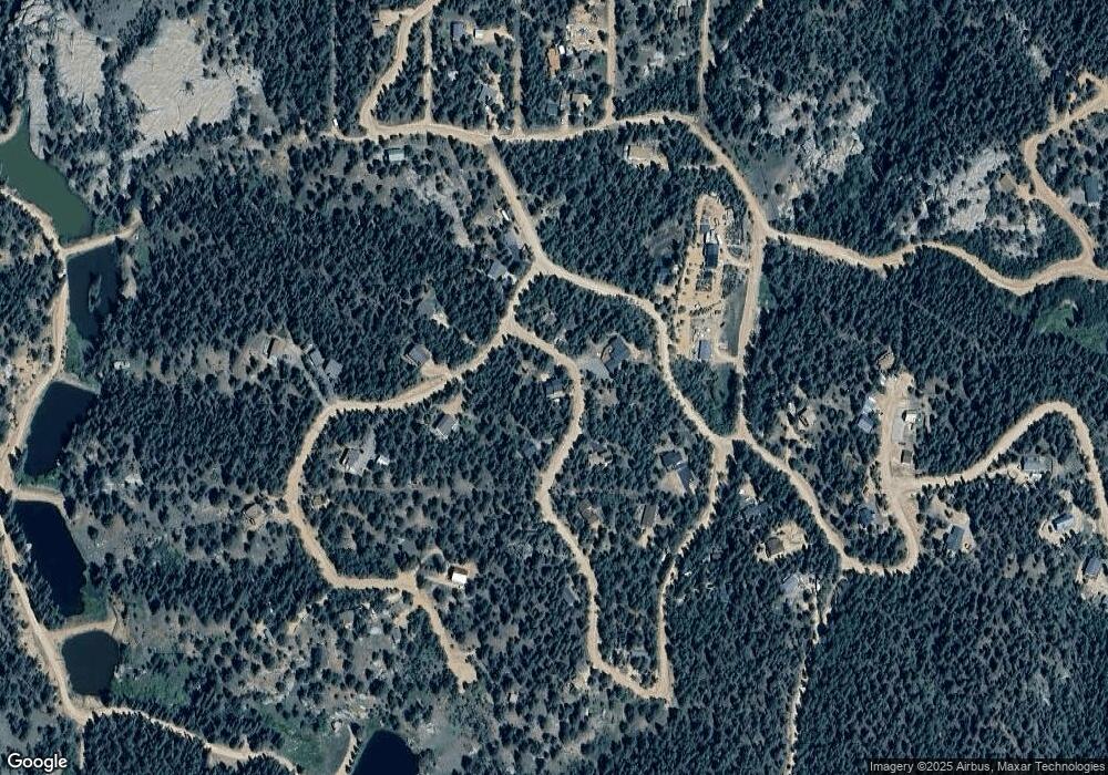
231 Ute Rd Florissant, CO 80816
Estimated Value: $475,584 - $603,000
2
Beds
2
Baths
1,651
Sq Ft
$326/Sq Ft
Est. Value
About This Home
This home is located at 231 Ute Rd, Florissant, CO 80816 and is currently estimated at $538,396, approximately $326 per square foot. 231 Ute Rd is a home located in Teller County with nearby schools including Woodland Park Junior/Senior High School and Merit Academy.
Ownership History
Date
Name
Owned For
Owner Type
Purchase Details
Closed on
Aug 9, 2016
Sold by
Tyson Sydney A
Bought by
Radliff Tommy Dean and Radliff Esperanza
Current Estimated Value
Home Financials for this Owner
Home Financials are based on the most recent Mortgage that was taken out on this home.
Original Mortgage
$300,910
Outstanding Balance
$240,062
Interest Rate
3.56%
Mortgage Type
VA
Estimated Equity
$298,334
Purchase Details
Closed on
Aug 28, 2003
Sold by
Tyson S A
Bought by
Tyson Sydney A
Home Financials for this Owner
Home Financials are based on the most recent Mortgage that was taken out on this home.
Original Mortgage
$183,750
Interest Rate
5.87%
Mortgage Type
Purchase Money Mortgage
Purchase Details
Closed on
Feb 16, 2000
Bought by
Radliff Tommy Dean and Radliff Esperanza
Purchase Details
Closed on
Jun 14, 1994
Bought by
Radliff Tommy Dean and Radliff Esperanza
Create a Home Valuation Report for This Property
The Home Valuation Report is an in-depth analysis detailing your home's value as well as a comparison with similar homes in the area
Home Values in the Area
Average Home Value in this Area
Purchase History
| Date | Buyer | Sale Price | Title Company |
|---|---|---|---|
| Radliff Tommy Dean | $295,000 | Empire Title Of Woodland Par | |
| Tyson Sydney A | -- | Title America | |
| Radliff Tommy Dean | $9,000 | -- | |
| Radliff Tommy Dean | $5,500 | -- |
Source: Public Records
Mortgage History
| Date | Status | Borrower | Loan Amount |
|---|---|---|---|
| Open | Radliff Tommy Dean | $300,910 | |
| Previous Owner | Tyson Sydney A | $183,750 |
Source: Public Records
Tax History Compared to Growth
Tax History
| Year | Tax Paid | Tax Assessment Tax Assessment Total Assessment is a certain percentage of the fair market value that is determined by local assessors to be the total taxable value of land and additions on the property. | Land | Improvement |
|---|---|---|---|---|
| 2024 | $1,944 | $31,260 | $1,630 | $29,630 |
| 2023 | $1,944 | $31,260 | $1,630 | $29,630 |
| 2022 | $1,568 | $27,980 | $1,260 | $26,720 |
| 2021 | $1,617 | $28,790 | $1,300 | $27,490 |
| 2020 | $1,313 | $23,890 | $1,430 | $22,460 |
| 2019 | $1,297 | $23,890 | $0 | $0 |
| 2018 | $1,037 | $18,510 | $0 | $0 |
| 2017 | $988 | $17,590 | $0 | $0 |
| 2016 | $547 | $9,710 | $0 | $0 |
| 2015 | $615 | $9,710 | $0 | $0 |
| 2014 | $538 | $16,340 | $0 | $0 |
Source: Public Records
Map
Nearby Homes
- 104 Mount Elbert Dr
- 71 Mount Elbert Dr
- 399 Saguache Dr
- 747 Trout Haven Rd
- 126 Saguache Dr
- 204 Kutsu Ridge Rd
- 358 Pawutsy Rd
- 396 Mohawk Heights
- 485 Donzi Trail
- 510 Banner Trail
- 112 Denwood Dr
- 133 Sildona Trail
- 166 Denwood Dr
- 17 and 33 Deer Ridge Trail
- 156 Sildona Trail
- 192 Silbani Ln
- 148 Banner Trail
- 29 Dusti Cir
- 192 Silbani Trail
- 18 Sir Richard Dr
