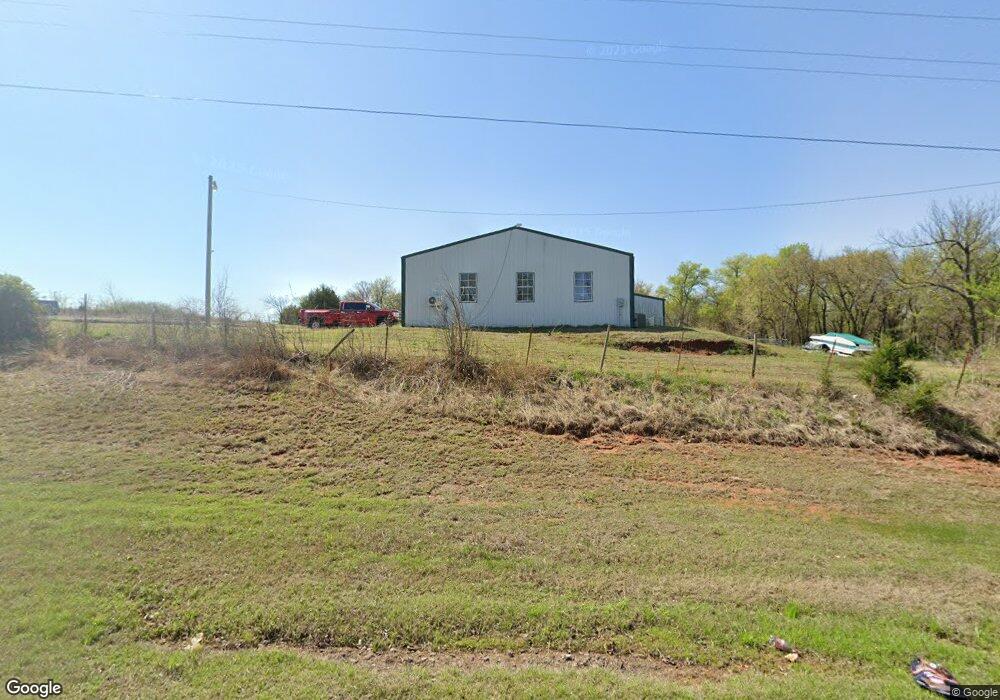
2310 W Highway 130 Newcastle, OK 73065
Estimated Value: $199,000 - $419,000
2
Beds
1
Bath
1,271
Sq Ft
$208/Sq Ft
Est. Value
About This Home
This home is located at 2310 W Highway 130, Newcastle, OK 73065 and is currently estimated at $263,863, approximately $207 per square foot. 2310 W Highway 130 is a home with nearby schools including Newcastle Elementary School, Newcastle Middle School, and Newcastle High School.
Ownership History
Date
Name
Owned For
Owner Type
Purchase Details
Closed on
Oct 10, 2017
Sold by
Camp Dustin and Camp Stella
Bought by
Camp Dustin and Camp Katelynn
Current Estimated Value
Home Financials for this Owner
Home Financials are based on the most recent Mortgage that was taken out on this home.
Original Mortgage
$129,000
Interest Rate
3.82%
Mortgage Type
New Conventional
Create a Home Valuation Report for This Property
The Home Valuation Report is an in-depth analysis detailing your home's value as well as a comparison with similar homes in the area
Home Values in the Area
Average Home Value in this Area
Purchase History
| Date | Buyer | Sale Price | Title Company |
|---|---|---|---|
| Camp Dustin | -- | Fidelity National Title Grou |
Source: Public Records
Mortgage History
| Date | Status | Borrower | Loan Amount |
|---|---|---|---|
| Closed | Camp Dustin | $129,000 |
Source: Public Records
Tax History Compared to Growth
Tax History
| Year | Tax Paid | Tax Assessment Tax Assessment Total Assessment is a certain percentage of the fair market value that is determined by local assessors to be the total taxable value of land and additions on the property. | Land | Improvement |
|---|---|---|---|---|
| 2025 | $1,442 | $13,207 | $3,979 | $9,228 |
| 2024 | $1,442 | $12,579 | $3,790 | $8,789 |
| 2023 | $1,442 | $11,979 | $3,691 | $8,288 |
| 2022 | $1,317 | $11,409 | $3,477 | $7,932 |
| 2021 | $1,382 | $11,409 | $3,477 | $7,932 |
| 2020 | $1,388 | $11,409 | $3,477 | $7,932 |
| 2019 | $1,530 | $12,396 | $4,375 | $8,021 |
| 2018 | $1,514 | $12,445 | $4,375 | $8,070 |
| 2017 | $2,862 | $23,583 | $6,950 | $16,633 |
| 2016 | $2,736 | $22,460 | $6,404 | $16,056 |
| 2015 | $2,607 | $21,391 | $4,653 | $16,738 |
| 2014 | $2,450 | $20,372 | $4,653 | $15,719 |
Source: Public Records
Map
Nearby Homes
- 2203 NW 3rd St
- 0 Grigsby Rd Unit 1192835
- 318 Grigsby Rd
- 1656 Quail Ridge Rd
- 818 Grigsby St
- 1339 Lucas Ct
- 640 Westwind Dr
- 1204 Lucas Ct
- 1157 Trunci Way
- 1152 Trunci Way
- 1347 Trunci Ct
- 1153 Lucas Way
- 1346 Lucas Ct
- 1312 Trunci Ct
- 1303 Lucas Ct
- 975 Trunci Cir
- 907 Fluvi Cir
- 1116 Trunci Way
- 979 Fluvi Cir
- 1249 Trunci Ct
- 3225 W Fox Ln
- 0 W Fox Ln
- 2453 W Fox Ln Unit 1220
- 2453 W Fox Ln
- 2504 W Highway 130
- 2333 W Highway 130
- 2300 W Highway 130
- 2300 W Highway 130
- 2520 W Highway 130
- 3401 Sarah Dr
- 2141 W Highway 130
- 2204 NW 3rd St
- 101 Grigsby St
- 2140 NW 3rd St
- 414 N Rockwell Ave Unit NCA
- 2120 NW 3rd St
- 2610 W Highway 130
- 2133 NW 3rd St
- 190 Grigsby St
- 50 Grisby Rd