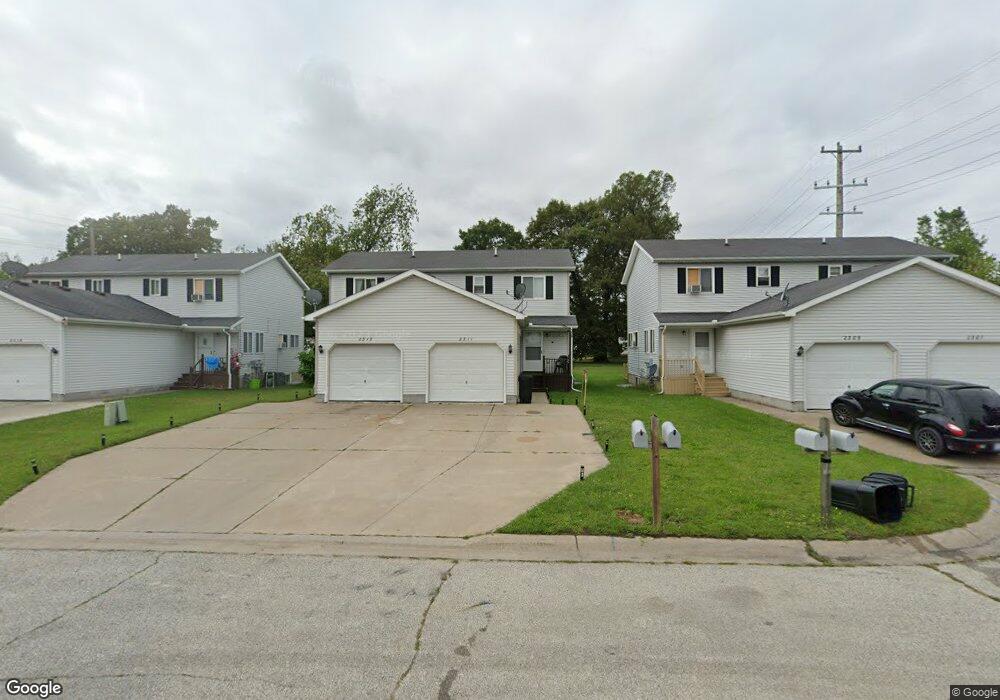
2311 11th St Unit 2313 Port Huron, MI 48060
Estimated Value: $155,000 - $196,937
--
Bed
--
Bath
1,920
Sq Ft
$93/Sq Ft
Est. Value
About This Home
This home is located at 2311 11th St Unit 2313, Port Huron, MI 48060 and is currently estimated at $177,734, approximately $92 per square foot. 2311 11th St Unit 2313 is a home located in St. Clair County with nearby schools including Michigamme Elementary School, Central Middle School, and Port Huron High School.
Ownership History
Date
Name
Owned For
Owner Type
Purchase Details
Closed on
Aug 29, 2018
Sold by
Noel Suarez
Bought by
Saa Property Group Llc
Current Estimated Value
Purchase Details
Closed on
Jul 12, 2018
Sold by
Anthony F Richards Living Trust
Bought by
Suarez Noel
Purchase Details
Closed on
Jun 15, 2018
Sold by
Richards Trust
Bought by
Suarez Noel
Purchase Details
Closed on
Jun 11, 2018
Sold by
Noel Suarez
Bought by
Saa Property Group Llc
Purchase Details
Closed on
May 15, 2014
Sold by
Richards Anthony F
Bought by
Anthony F Richards Living Trust
Create a Home Valuation Report for This Property
The Home Valuation Report is an in-depth analysis detailing your home's value as well as a comparison with similar homes in the area
Home Values in the Area
Average Home Value in this Area
Purchase History
| Date | Buyer | Sale Price | Title Company |
|---|---|---|---|
| Saa Property Group Llc | $662,500 | Transnation Title | |
| Suarez Noel | $100,000 | None Listed On Document | |
| Suarez Noel | $100,000 | None Available | |
| Saa Property Group Llc | $662,500 | Transnation Title | |
| Suarez Noel | $100,000 | None Listed On Document | |
| Anthony F Richards Living Trust | -- | None Available |
Source: Public Records
Tax History Compared to Growth
Tax History
| Year | Tax Paid | Tax Assessment Tax Assessment Total Assessment is a certain percentage of the fair market value that is determined by local assessors to be the total taxable value of land and additions on the property. | Land | Improvement |
|---|---|---|---|---|
| 2025 | $3,652 | $96,800 | $0 | $0 |
| 2024 | $3,281 | $91,700 | $0 | $0 |
| 2023 | $3,107 | $81,600 | $0 | $0 |
| 2022 | $3,196 | $71,000 | $0 | $0 |
| 2021 | $3,239 | $63,300 | $0 | $0 |
| 2020 | $3,184 | $55,400 | $55,400 | $0 |
| 2019 | $3,008 | $36,400 | $0 | $0 |
| 2018 | $2,556 | $36,400 | $0 | $0 |
| 2017 | $2,069 | $34,300 | $0 | $0 |
| 2016 | $1,847 | $34,300 | $0 | $0 |
| 2015 | $1,912 | $34,200 | $34,200 | $0 |
| 2014 | $1,912 | $35,500 | $35,500 | $0 |
| 2013 | -- | $37,300 | $0 | $0 |
Source: Public Records
Map
Nearby Homes
- 2411 10th St
- 823 Beard St
- 1414 Beard St
- 1403 Catherine McAuley Dr
- 913 Tunnel St
- 2444 Military St
- 2430 Military St Unit 2434
- 2710 Electric Ave
- 730 Jenkinson St
- 2718 Electric Ave
- 1112 Minnie St
- 1127 Minnie St
- 831 Bancroft St
- 2704 Military St
- 1319 Minnie St
- 2724 Military St
- 1322 Division St
- 1309 Division St
- 2815 Military St
- 1815 8th St
- 2309 11th St Unit 2307
- 2315 11th St Unit 2319
- 1107 Beard St
- 1103 Beard St
- 1113 Beard St
- 1123 Beard St
- 1037 Beard St
- 1033 Beard St
- 2318 12th St Unit 2316
- 2314 12th St Unit 2312
- 1023 Beard St
- 1127 Beard St
- 2322 12th St
- 2325 10th St
- 2403 11th St
- 2300 11th St
- 1019 Beard St
- 2405 11th St
- 1040 Beard St
- 2312 12th St