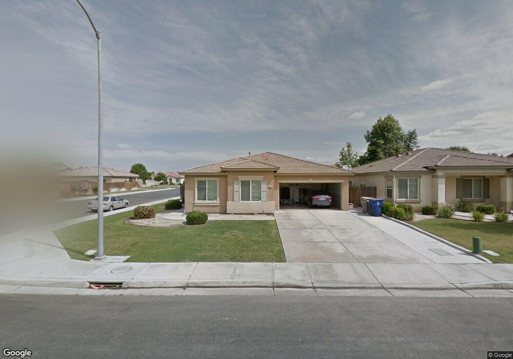
2312 1/2 Sosa Dr Bakersfield, CA 93313
Estimated Value: $273,609 - $341,000
2
Beds
1
Bath
1,280
Sq Ft
$249/Sq Ft
Est. Value
About This Home
This home is located at 2312 1/2 Sosa Dr, Bakersfield, CA 93313 and is currently estimated at $318,203, approximately $248 per square foot. 2312 1/2 Sosa Dr is a home located in Kern County with nearby schools including Panama Elementary School, Stonecreek Junior High School, and Ridgeview High School.
Ownership History
Date
Name
Owned For
Owner Type
Purchase Details
Closed on
Jan 20, 2014
Sold by
Roberts Brian and Roberts Family Trust
Bought by
Roberts Brian and Robbie J Roberts Irrevocable Trust
Current Estimated Value
Purchase Details
Closed on
Jan 17, 2014
Sold by
Roberts Brian and Roberts Family Trust
Bought by
Roberts Brian and Robbie J Roberts Irrevocable Trust
Purchase Details
Closed on
Jan 16, 2014
Sold by
Roberts Brian and Roberts Family Trust
Bought by
Roberts Brian and Robbie J Roberts Irrevocable Trust
Purchase Details
Closed on
Jan 15, 2014
Sold by
Roberts Brian and Roberts Family Trust
Bought by
Roberts Brian and Robbie J Roberts Irrevocable Trust
Purchase Details
Closed on
Jan 14, 2014
Sold by
Roberts Brian and Roberts Family Trust
Bought by
Roberts Brian and Robbie J Roberts Irrevocable Trust
Purchase Details
Closed on
Jun 8, 2004
Sold by
Roberts Clifford H and Roberts Robbie J
Bought by
Roberts Brian and The Roberts Family Trust
Create a Home Valuation Report for This Property
The Home Valuation Report is an in-depth analysis detailing your home's value as well as a comparison with similar homes in the area
Home Values in the Area
Average Home Value in this Area
Purchase History
| Date | Buyer | Sale Price | Title Company |
|---|---|---|---|
| Roberts Brian | -- | None Available | |
| Roberts Brian | -- | None Available | |
| Roberts Brian | -- | None Available | |
| Roberts Brian | -- | None Available | |
| Roberts Brian | -- | None Available | |
| Roberts Brian | -- | -- |
Source: Public Records
Tax History Compared to Growth
Tax History
| Year | Tax Paid | Tax Assessment Tax Assessment Total Assessment is a certain percentage of the fair market value that is determined by local assessors to be the total taxable value of land and additions on the property. | Land | Improvement |
|---|---|---|---|---|
| 2025 | $2,891 | $90,225 | $26,347 | $63,878 |
| 2024 | $2,891 | $88,457 | $25,831 | $62,626 |
| 2023 | $2,786 | $86,724 | $25,325 | $61,399 |
| 2022 | $2,575 | $85,025 | $24,829 | $60,196 |
| 2021 | $2,395 | $83,359 | $24,343 | $59,016 |
| 2020 | $2,323 | $82,505 | $24,094 | $58,411 |
| 2019 | $2,231 | $82,505 | $24,094 | $58,411 |
| 2018 | $2,170 | $79,303 | $23,159 | $56,144 |
| 2017 | $2,137 | $77,749 | $22,705 | $55,044 |
| 2016 | $1,816 | $76,225 | $22,260 | $53,965 |
Source: Public Records
Map
Nearby Homes
- 4620 Taft Hwy
- 3603 Chisholm Trail Ave
- 3527 Big Trail Ave
- 5103 Green Clover Ave
- 9202 Mcclintock Rd
- 3044 Emerson Way
- 5808 Esmerelda Ave
- 5831 Mardal Ave
- 4403 Oceanrock Ave
- 9623 Kanosh Cobble Dr
- 3304 Bridget Ave
- 9402 Cobble Mountain Rd
- 3045 Emerson Way
- 3406 Kimmie Rachelle Ct
- 9301 Cobble Mountain Rd
- 5407 Red Wheat Ave
- 6021 Bogart Dr
- 6200 Whaleback Ave
- 9003 Great Harvest Dr
- 6028 Bogart Dr