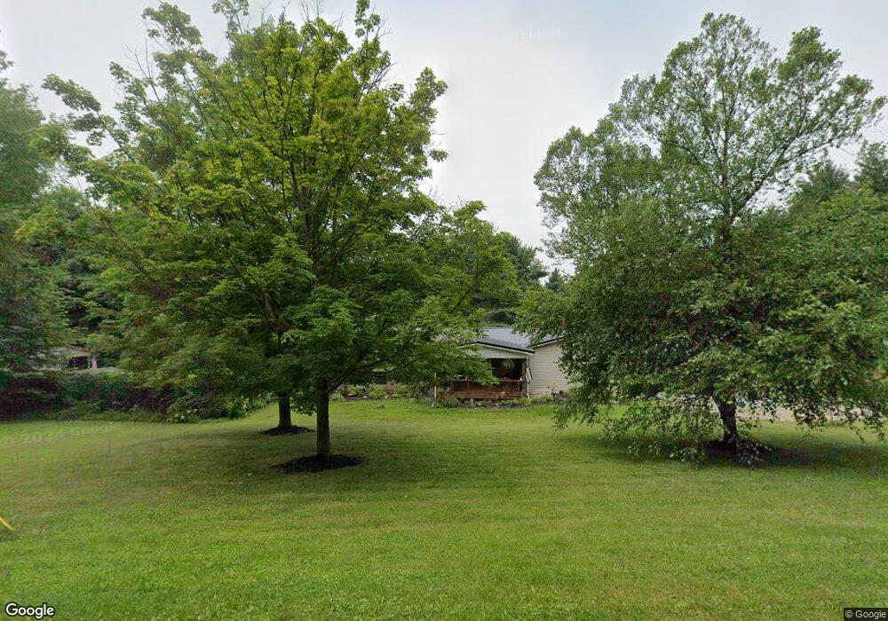
2312 Ohio 511 Perrysville, OH 44864
Estimated Value: $278,437 - $387,000
3
Beds
2
Baths
2,008
Sq Ft
$172/Sq Ft
Est. Value
About This Home
This home is located at 2312 Ohio 511, Perrysville, OH 44864 and is currently estimated at $345,109, approximately $171 per square foot. 2312 Ohio 511 is a home located in Ashland County with nearby schools including Budd Elementary School, McMullen Elementary School, and Loudonville High School.
Ownership History
Date
Name
Owned For
Owner Type
Purchase Details
Closed on
Oct 6, 2022
Sold by
Gongwer Nathan J
Bought by
Ellis Nolan F and Ellis Sandra A
Current Estimated Value
Home Financials for this Owner
Home Financials are based on the most recent Mortgage that was taken out on this home.
Original Mortgage
$154,500
Outstanding Balance
$148,078
Interest Rate
5.66%
Mortgage Type
New Conventional
Estimated Equity
$197,031
Purchase Details
Closed on
Mar 19, 2007
Bought by
Kline Jeffrey C
Create a Home Valuation Report for This Property
The Home Valuation Report is an in-depth analysis detailing your home's value as well as a comparison with similar homes in the area
Home Values in the Area
Average Home Value in this Area
Purchase History
| Date | Buyer | Sale Price | Title Company |
|---|---|---|---|
| Ellis Nolan F | $240,000 | Stonegate Title Agency | |
| Kline Jeffrey C | $138,000 | -- |
Source: Public Records
Mortgage History
| Date | Status | Borrower | Loan Amount |
|---|---|---|---|
| Open | Ellis Nolan F | $154,500 |
Source: Public Records
Tax History Compared to Growth
Tax History
| Year | Tax Paid | Tax Assessment Tax Assessment Total Assessment is a certain percentage of the fair market value that is determined by local assessors to be the total taxable value of land and additions on the property. | Land | Improvement |
|---|---|---|---|---|
| 2024 | $2,527 | $65,360 | $9,800 | $55,560 |
| 2023 | $2,527 | $65,360 | $9,800 | $55,560 |
| 2022 | $2,005 | $45,080 | $6,760 | $38,320 |
| 2021 | $1,987 | $45,080 | $6,760 | $38,320 |
| 2020 | $1,870 | $45,080 | $6,760 | $38,320 |
| 2019 | $1,761 | $41,950 | $6,690 | $35,260 |
| 2018 | $1,772 | $41,950 | $6,690 | $35,260 |
| 2017 | $1,787 | $41,950 | $6,690 | $35,260 |
| 2016 | $1,513 | $36,480 | $5,820 | $30,660 |
| 2015 | $1,502 | $36,480 | $5,820 | $30,660 |
| 2013 | $1,844 | $44,290 | $6,080 | $38,210 |
Source: Public Records
Map
Nearby Homes
- 0 Township Road 925
- 968 Township Road 2506
- 1048 Township Road 2156
- 0 Applegate Rd
- 2428 Applegate Rd
- 1106 County Road 30a
- 820 County Road 30a
- 0 Mount Zion Rd Unit 9069748
- 1183 County Road 30a
- 609 Ohio 95
- 19 Maine St
- 68.40 Acres Trumpower Rd
- 0 Trumpower Rd
- 3386 Trumpower Rd
- 136 Bridge St
- 560 Township Road 2402
- 0 Ashland County Road 2175
- 0 Ashland County Road 2175
- 150 E Main St
- 0 County Road 917
- 2314 State Route 511
- 2314 Ohio 511
- 2322 State Route 511
- 2312 State Route 511
- 2298 Ohio 511
- 2330 State Route 511
- 2733 Twp 1087
- 968 Twp 2506
- 2338 State Route 511
- 2346 State Route 511
- 1062A Twp Rd 2375
- 2337 State Route 511
- 2357 Ohio 511
- 1031 Township Road 2375
- 2256 State Route 511
- 1062 Township Road 2375
- 2314 Township Road 925
- 2025 Ohio 511
- 2513 Ohio 511
- 2506 Ohio 511