2312 Roe Junction Rd Morristown, TN 37813
Estimated Value: $254,000 - $382,843
Studio
--
Bath
1,500
Sq Ft
$223/Sq Ft
Est. Value
About This Home
This home is located at 2312 Roe Junction Rd, Morristown, TN 37813 and is currently estimated at $333,961, approximately $222 per square foot. 2312 Roe Junction Rd is a home with nearby schools including Witt Elementary School, Lincoln Heights Middle School, and Morristown West High School.
Ownership History
Date
Name
Owned For
Owner Type
Purchase Details
Closed on
Jan 10, 2025
Sold by
Thompson Dana Grant
Bought by
Thompson Dana Grant and Thompson Barbara Leanne
Current Estimated Value
Purchase Details
Closed on
Mar 28, 2006
Sold by
Horner Charles K
Bought by
Thompson Troy D
Home Financials for this Owner
Home Financials are based on the most recent Mortgage that was taken out on this home.
Original Mortgage
$49,270
Interest Rate
6.23%
Purchase Details
Closed on
Mar 6, 1968
Bought by
Kinnick Pauline Estate
Purchase Details
Closed on
Apr 17, 1961
Create a Home Valuation Report for This Property
The Home Valuation Report is an in-depth analysis detailing your home's value as well as a comparison with similar homes in the area
Home Values in the Area
Average Home Value in this Area
Purchase History
| Date | Buyer | Sale Price | Title Company |
|---|---|---|---|
| Thompson Dana Grant | -- | None Listed On Document | |
| Thompson Dana Grant | -- | None Listed On Document | |
| Thompson Troy D | $115,260 | -- | |
| Grant Thompson Dana | $49,810 | -- | |
| Kinnick Pauline Estate | -- | -- | |
| -- | -- | -- |
Source: Public Records
Mortgage History
| Date | Status | Borrower | Loan Amount |
|---|---|---|---|
| Previous Owner | Not Available | $49,270 |
Source: Public Records
Tax History
| Year | Tax Paid | Tax Assessment Tax Assessment Total Assessment is a certain percentage of the fair market value that is determined by local assessors to be the total taxable value of land and additions on the property. | Land | Improvement |
|---|---|---|---|---|
| 2025 | $1,605 | $109,175 | $18,650 | $90,525 |
| 2024 | $1,123 | $57,025 | $12,725 | $44,300 |
| 2023 | $1,123 | $57,025 | $0 | $0 |
| 2022 | $1,123 | $57,025 | $12,725 | $44,300 |
| 2021 | $1,102 | $55,925 | $12,725 | $43,200 |
| 2020 | $1,102 | $55,925 | $12,725 | $43,200 |
| 2019 | $1,078 | $50,600 | $11,575 | $39,025 |
| 2018 | $1,078 | $50,600 | $11,575 | $39,025 |
| 2017 | $1,078 | $50,600 | $11,575 | $39,025 |
| 2016 | $1,007 | $50,600 | $11,575 | $39,025 |
| 2015 | $936 | $50,600 | $11,575 | $39,025 |
| 2014 | -- | $50,600 | $11,575 | $39,025 |
| 2013 | -- | $56,825 | $0 | $0 |
Source: Public Records
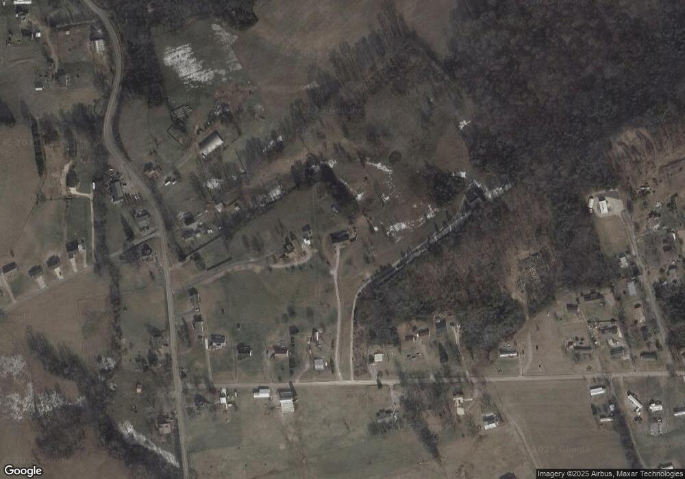
Map
Nearby Homes
- 2895 Coffey Rd
- 2061 Southwood Cir
- 2851 Coffey Rd
- 1049 Greenway Dr
- 1100 Valley Home Rd
- 1160 Statem Gap Rd
- 3360 Fernwood Rd
- 3440 Sulphur Springs Rd
- 2126 Roosevelt Dr
- 453 Statem Gap Rd
- 701 Old Witt Rd
- 586 Randolph Dr
- 440 S Fairmont Ave
- 1951 Sykes Rd
- 429 Valley St
- 203 Lincoln Ave
- 535 Valley View Dr
- 925 Lennie Ave
- 715 Lincoln Ave
- 731 Lennie Ave
- 2059 Valley Home Rd
- 2332 Roe Junction Rd
- 2460 Roe Junction Rd
- 2248 Roe Junction Rd
- 2292 Roe Junction Rd
- 2300 Roe Junction Rd
- 2039 Valley Home Rd
- 2440 Roe Junction Rd
- 2230 Roe Junction Rd
- 2079 Valley Home Rd
- 2009 Valley Home Rd
- 2430 Roe Junction Rd
- 2089 Valley Home Rd
- 2291 Roe Junction Rd
- 2008 Valley Home Rd
- 2245 Roe Junction Rd
- 1919 Valley Home Rd
- 2550 Harley Rd
- 2100 Valley Home Rd
- 2165 Valley Home Rd
Your Personal Tour Guide
Ask me questions while you tour the home.