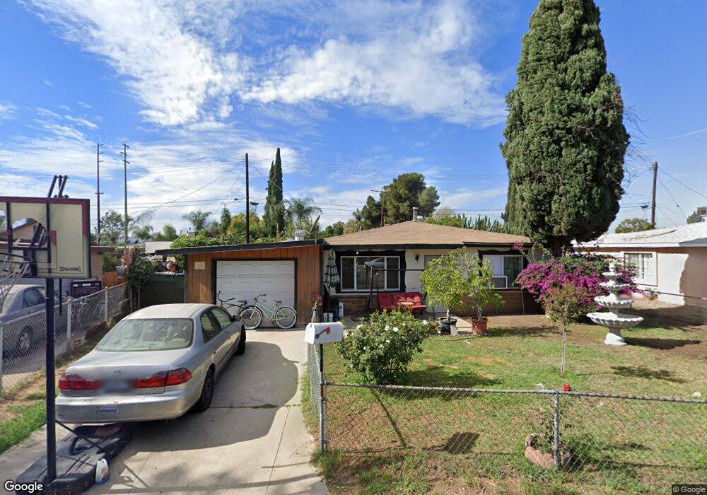
2313 Dela St Whittier, CA 90601
Avocado Heights NeighborhoodEstimated Value: $618,022 - $823,000
3
Beds
1
Bath
940
Sq Ft
$741/Sq Ft
Est. Value
About This Home
This home is located at 2313 Dela St, Whittier, CA 90601 and is currently estimated at $696,756, approximately $741 per square foot. 2313 Dela St is a home located in Los Angeles County with nearby schools including Wallen L. Andrews Elementary School, Pioneer High School, and Epiphany Catholic School.
Ownership History
Date
Name
Owned For
Owner Type
Purchase Details
Closed on
Aug 26, 1998
Sold by
Vital Sergio and Vital Silvia
Bought by
Vital Sergio and Vital Silvia
Current Estimated Value
Purchase Details
Closed on
Apr 15, 1994
Sold by
Household Finance Corp
Bought by
Vital Sergio and Vital Silvia
Home Financials for this Owner
Home Financials are based on the most recent Mortgage that was taken out on this home.
Original Mortgage
$132,870
Interest Rate
7.59%
Mortgage Type
FHA
Create a Home Valuation Report for This Property
The Home Valuation Report is an in-depth analysis detailing your home's value as well as a comparison with similar homes in the area
Home Values in the Area
Average Home Value in this Area
Purchase History
| Date | Buyer | Sale Price | Title Company |
|---|---|---|---|
| Vital Sergio | -- | -- | |
| Vital Sergio | $129,000 | Fidelity National Title Ins | |
| Household Bank | $125,577 | Fidelity National Title Ins |
Source: Public Records
Mortgage History
| Date | Status | Borrower | Loan Amount |
|---|---|---|---|
| Previous Owner | Vital Sergio | $132,870 |
Source: Public Records
Tax History Compared to Growth
Tax History
| Year | Tax Paid | Tax Assessment Tax Assessment Total Assessment is a certain percentage of the fair market value that is determined by local assessors to be the total taxable value of land and additions on the property. | Land | Improvement |
|---|---|---|---|---|
| 2025 | $2,742 | $202,610 | $134,325 | $68,285 |
| 2024 | $2,742 | $198,639 | $131,692 | $66,947 |
| 2023 | $2,693 | $194,745 | $129,110 | $65,635 |
| 2022 | $2,638 | $190,928 | $126,579 | $64,349 |
| 2021 | $2,582 | $187,186 | $124,098 | $63,088 |
| 2019 | $2,535 | $181,636 | $120,418 | $61,218 |
| 2018 | $2,434 | $178,075 | $118,057 | $60,018 |
| 2016 | $2,330 | $171,163 | $113,474 | $57,689 |
| 2015 | $2,282 | $168,593 | $111,770 | $56,823 |
| 2014 | $2,252 | $165,291 | $109,581 | $55,710 |
Source: Public Records
Map
Nearby Homes
- 1847 Whittier Woods Dr
- 2258 Kaydel Rd
- 2247 Kaydel Rd
- 1548 Lacewood Dr
- 11436 Herb St
- 1530 Adson Place
- 1230 Bunbury Dr
- 1949 Fruitvale Ave
- 12536 Fineview St
- 11249 Broadmead St
- 11264 Linard St
- 11244 Broadmead St
- 12465 Fineview St
- 1528 Durfee Ave
- 13 Weiss Dr
- 2348 Valwood Ave
- 2361 Parkway Dr
- 2237 Delnice Ave
- 2306 Burkett Rd
- 2251 Bryce Rd